Related Images & Videos
View All Similar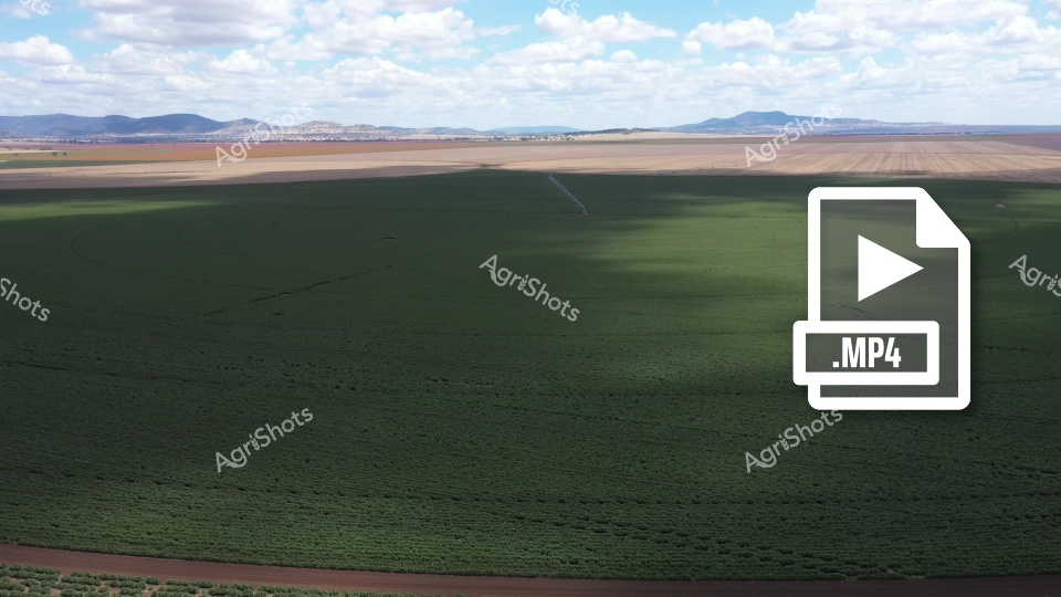


Purchase This Video
Get unlimited downloads with a subscription
View Subscription PlansAbout This Video
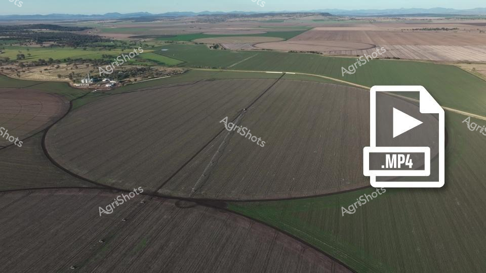
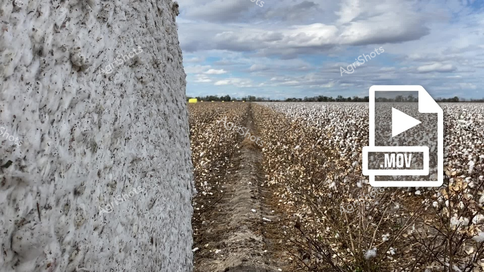
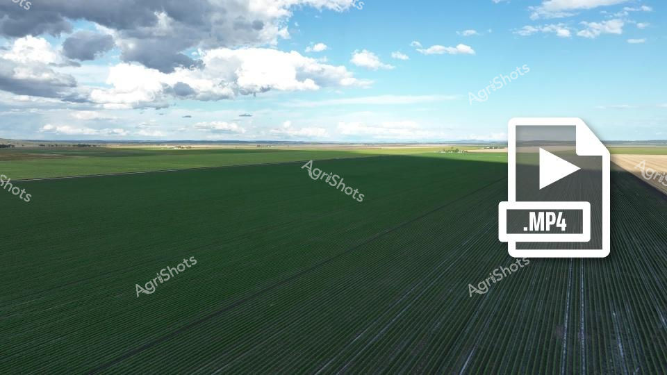
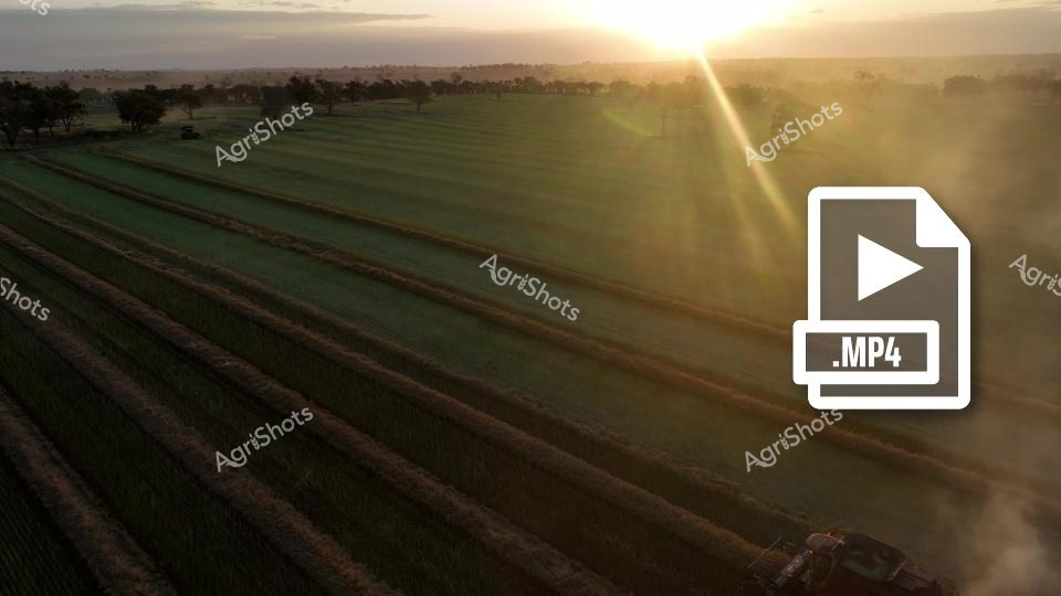
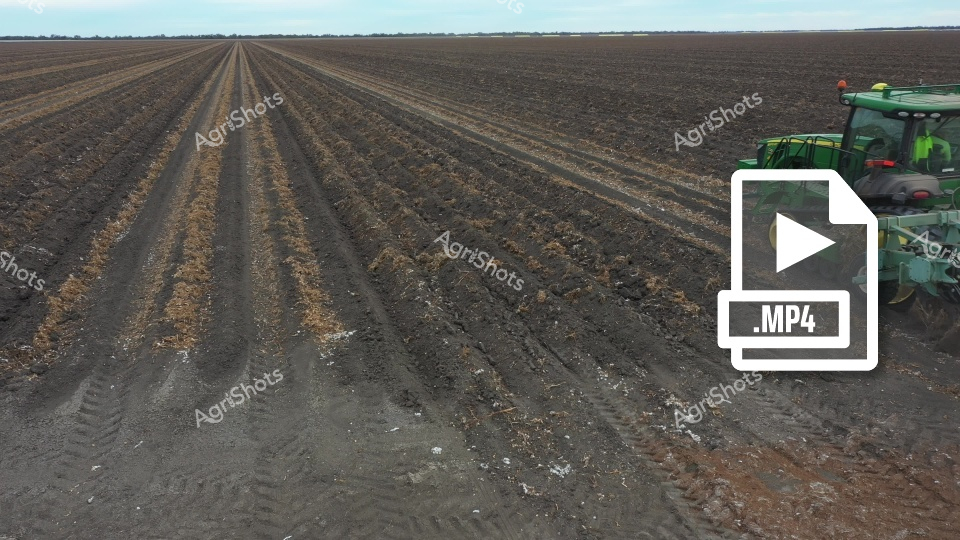
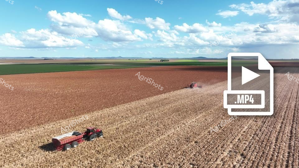
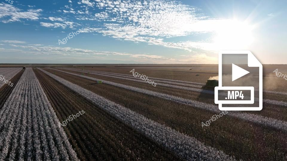
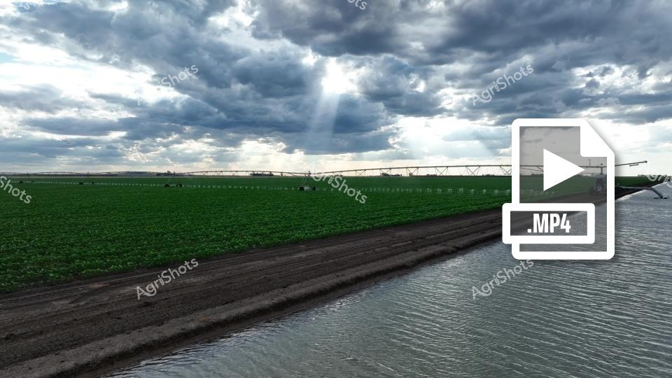
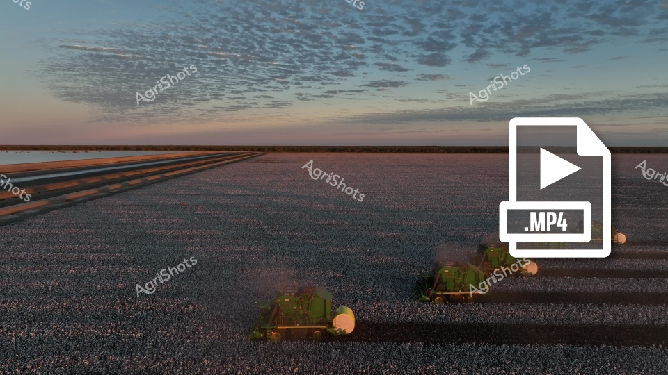
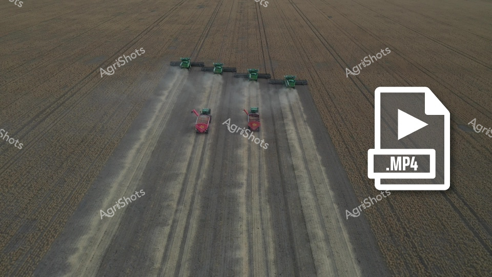
Aerial drone surveillance captures the intricate geometric precision of a cotton and sorghum crop intersection in the expansive agricultural landscape of Walgett Shire, New South Wales. Purple-hued twilight bathes the geometric field divisions, revealing the meticulous planning of contemporary broadacre farming. The Y-shaped agricultural roadway divides verdant green and dusty ochre crop zones, each section displaying subtle variations in plant density and growth stage. Precision agriculture is evident in the laser-straight field boundaries and uniform planting rows, demonstrating the sophisticated technological approaches of modern Australian agricultural practices. The contrasting textures of mature sorghum and emerging cotton create a mesmerizing patchwork of agricultural productivity, highlighting the strategic crop rotation and land management techniques crucial to sustainable dryland farming in northern NSW. The .MOV video file icon suggests this is a dynamic, motion-captured representation of the living, breathing ecosystem of contemporary agricultural production.