Related Images & Videos
View All Similar

Purchase This Image
Get unlimited downloads with a subscription
View Subscription PlansAbout This Image
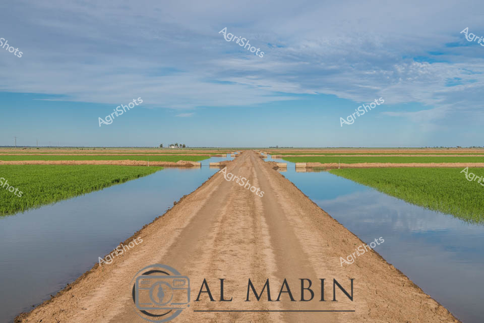
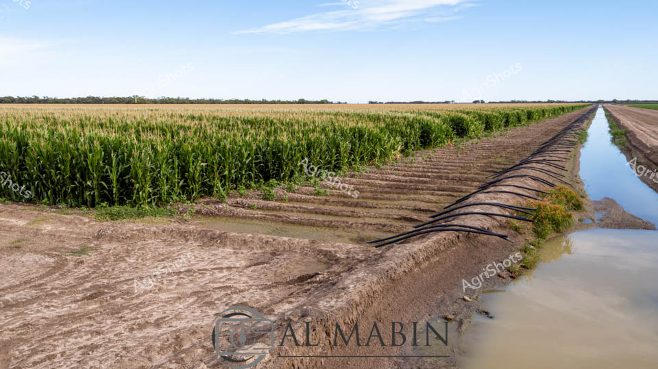
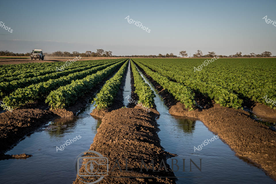
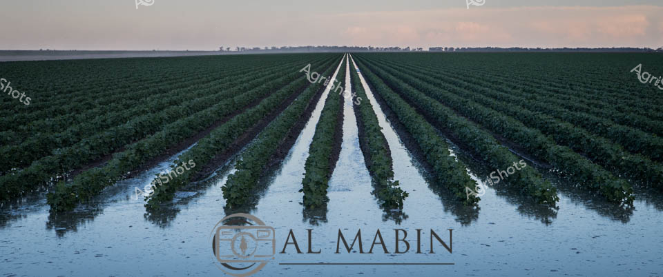
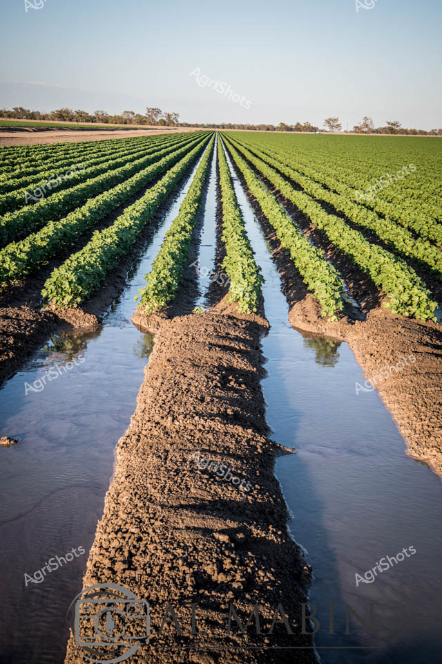
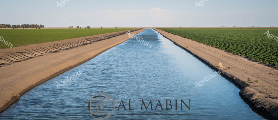
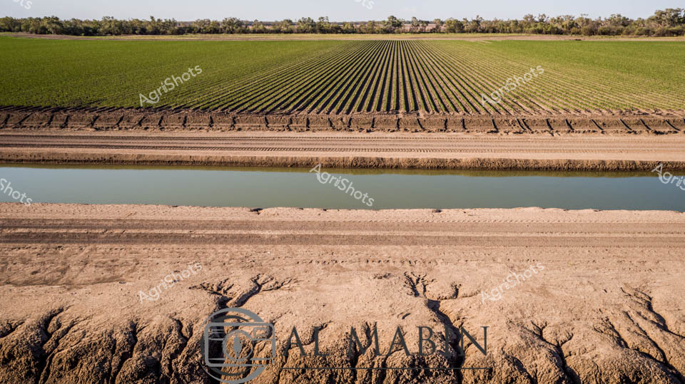
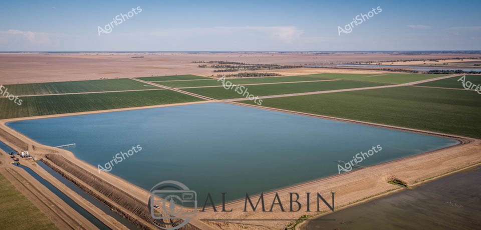
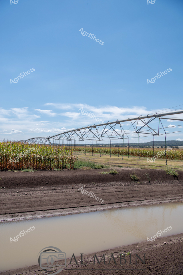
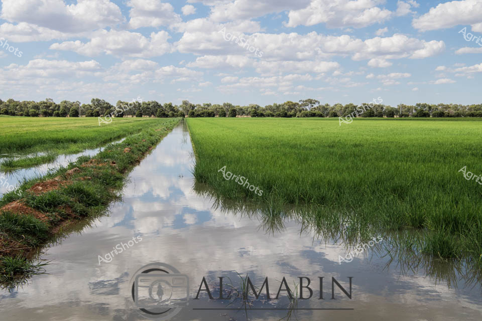
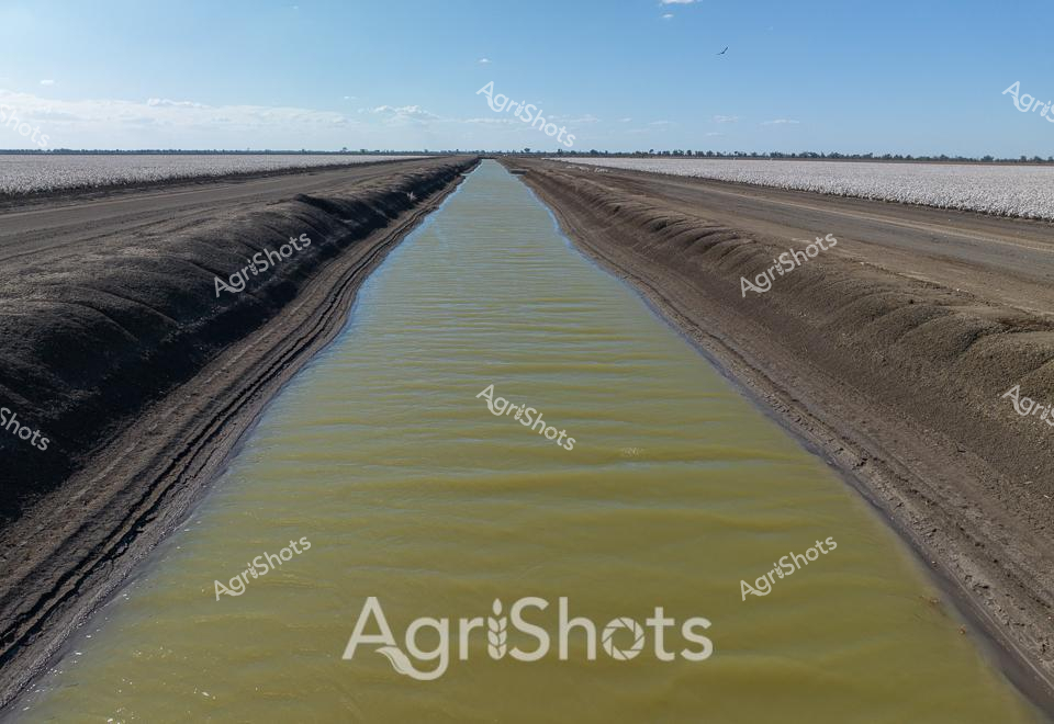
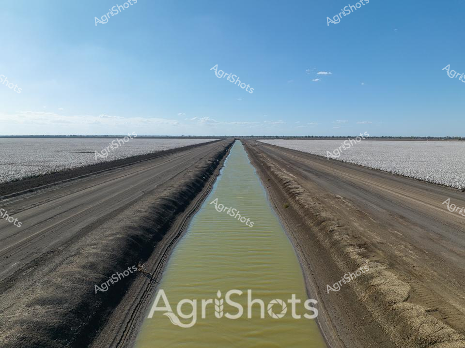
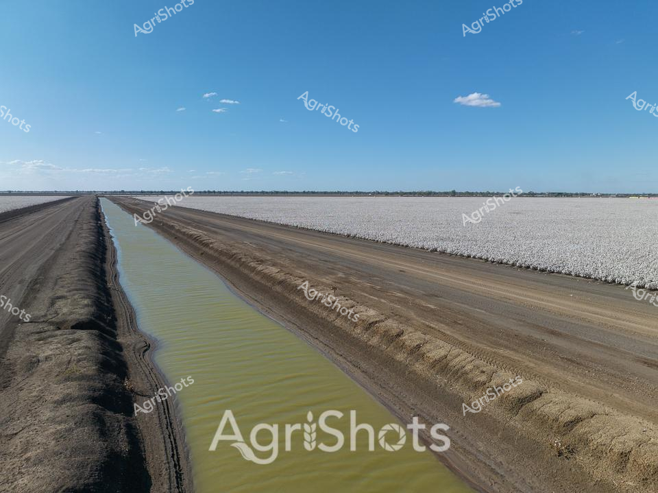
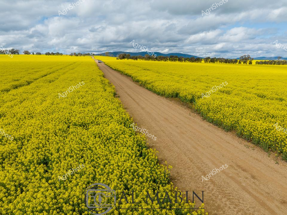
Rice irrigation channels slice through verdant green paddocks, creating a geometric landscape of precision agriculture in the Riverina region of New South Wales. A dusty earth access road bisects symmetrical water channels, reflecting the expansive blue sky and wispy clouds above. Meticulously levelled agricultural fields stretch to the distant horizon, demonstrating sophisticated water management techniques critical to rice cultivation in this arid landscape. The carefully constructed irrigation infrastructure reveals the engineering mastery required to transform semi-arid terrain into productive agricultural land, with water channels delivering precious moisture to emerging rice crops. Soft earth tones of the road contrast against the vibrant green of young rice shoots and the azure blue of the sky, creating a striking visual representation of Australian agricultural innovation. The Al Mabin watermark subtly indicates this compelling documentation of agricultural practice, capturing the essential interface between human engineering and natural agricultural systems.