Related Images & Videos
View All Similar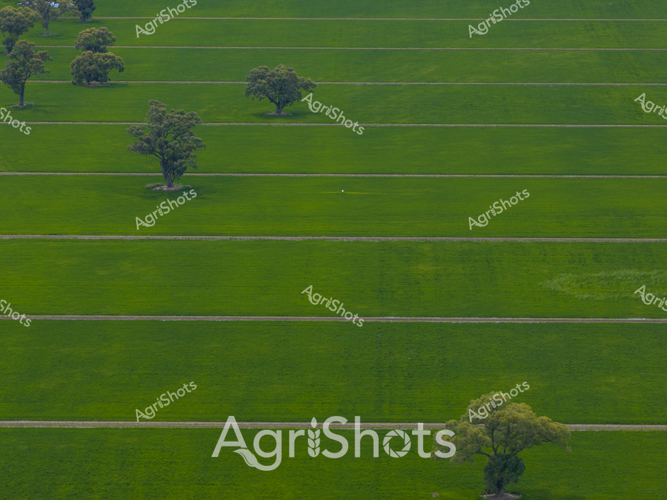


Purchase This Image
Get unlimited downloads with a subscription
View Subscription PlansAbout This Image
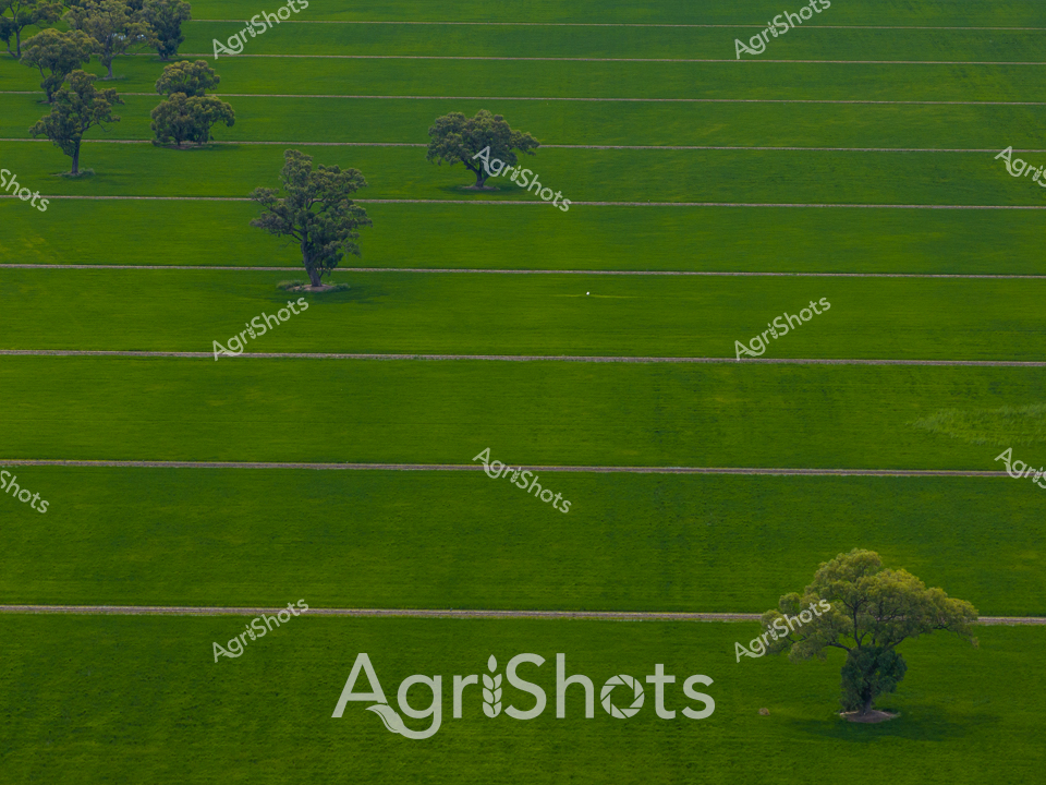
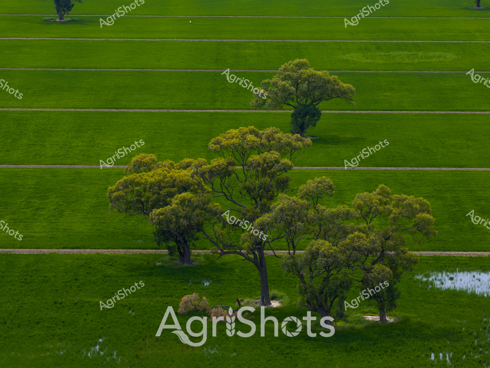
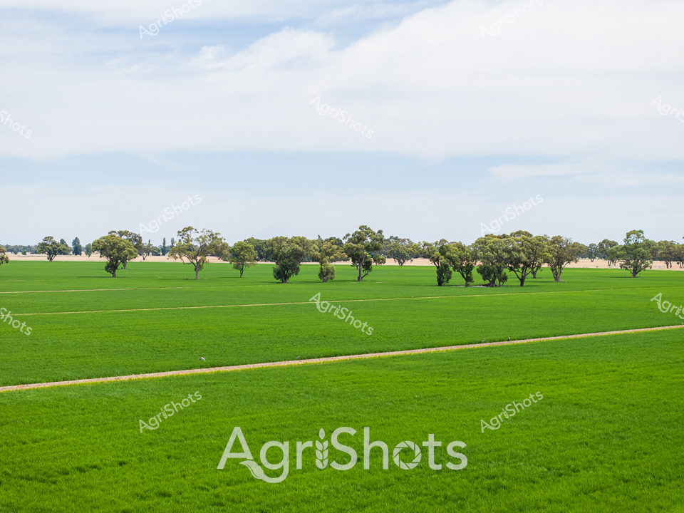
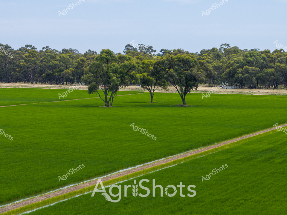
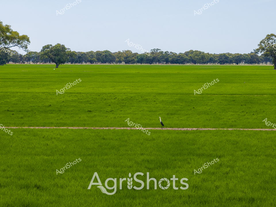
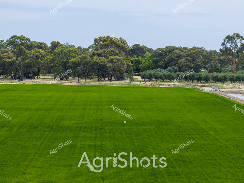
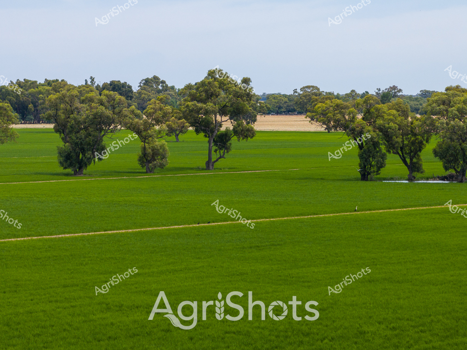
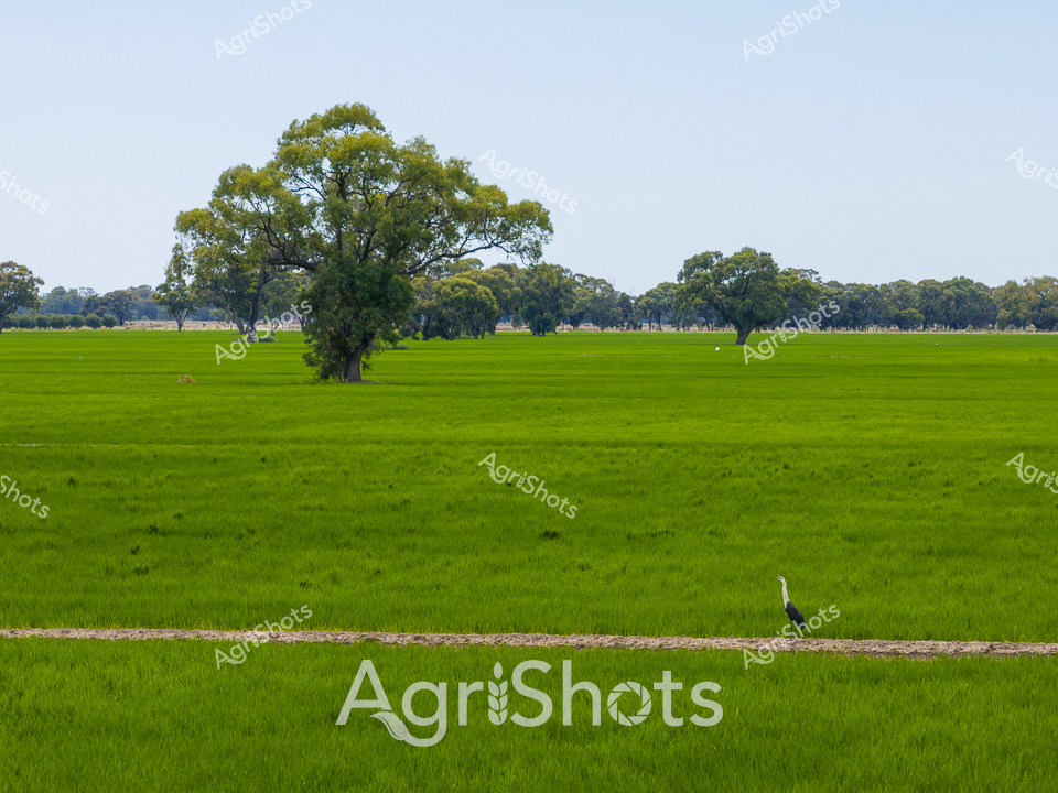
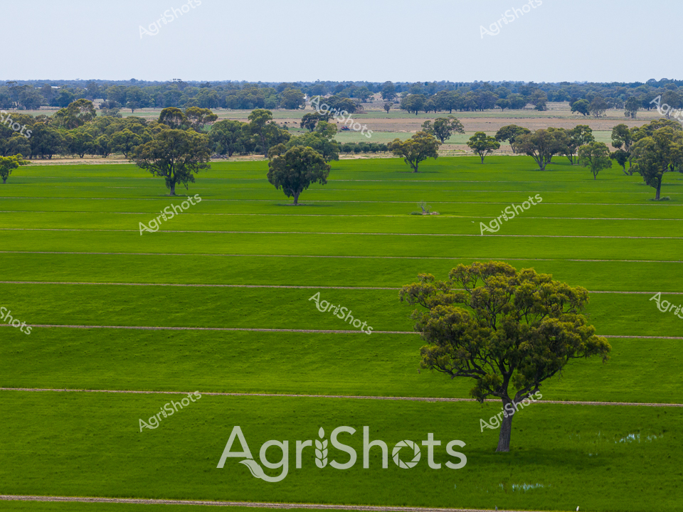
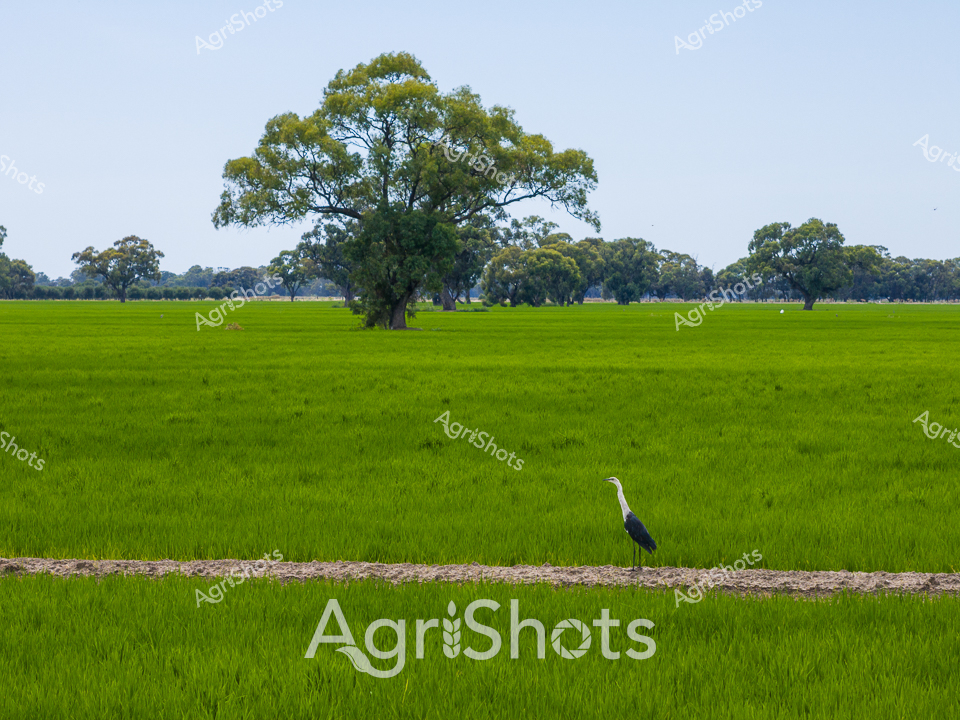
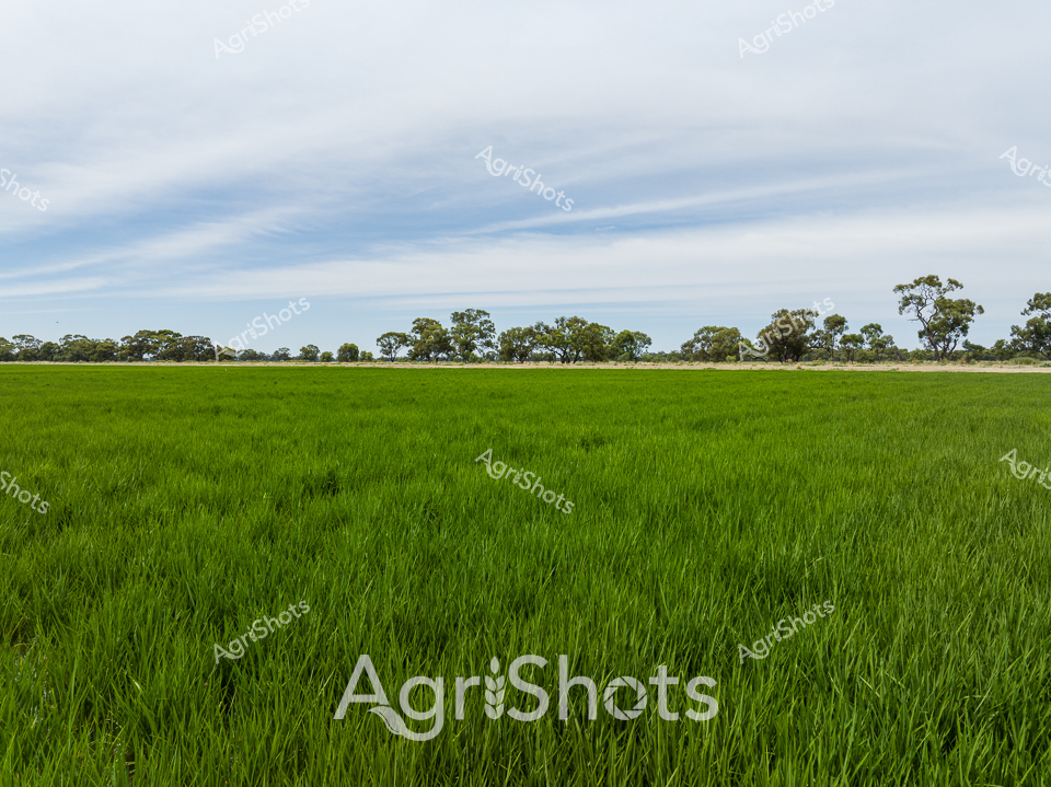
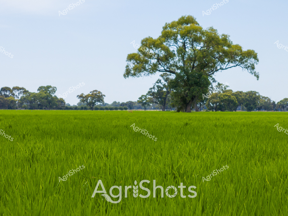
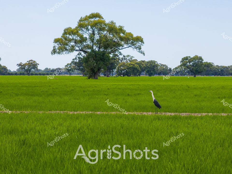
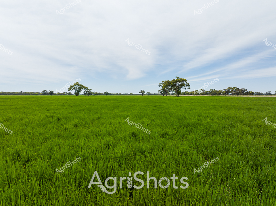
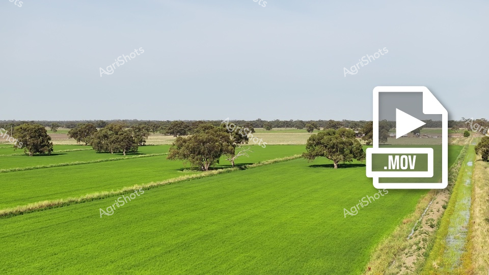
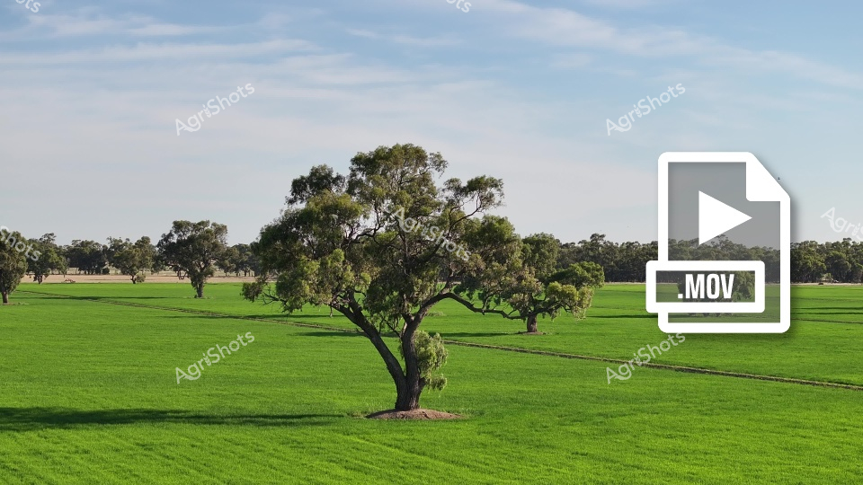
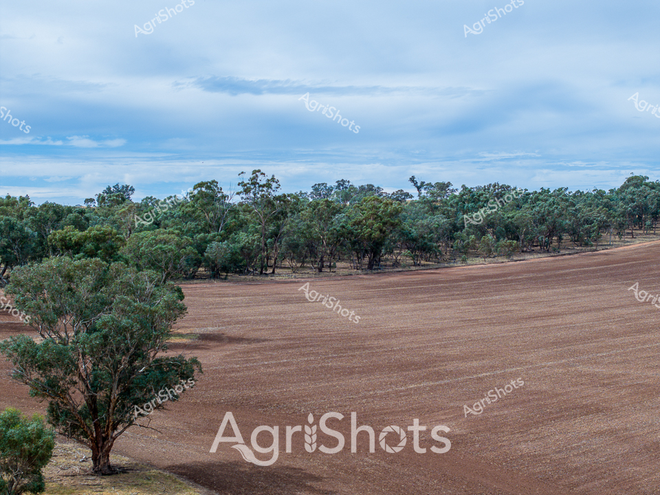
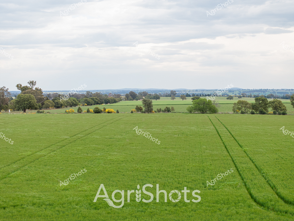
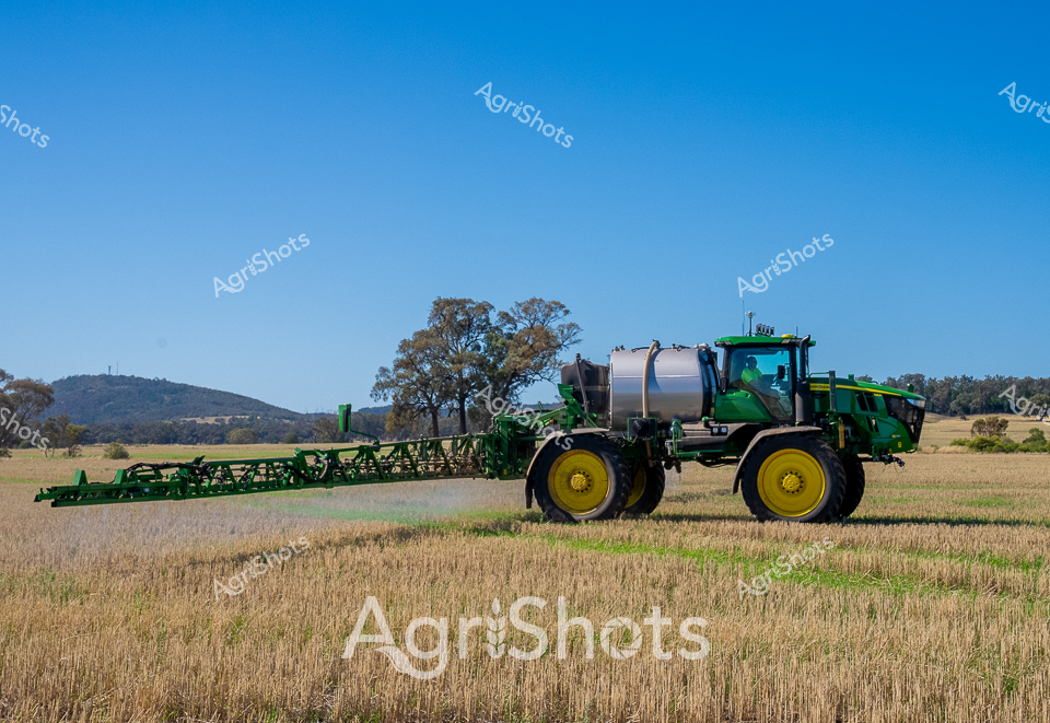
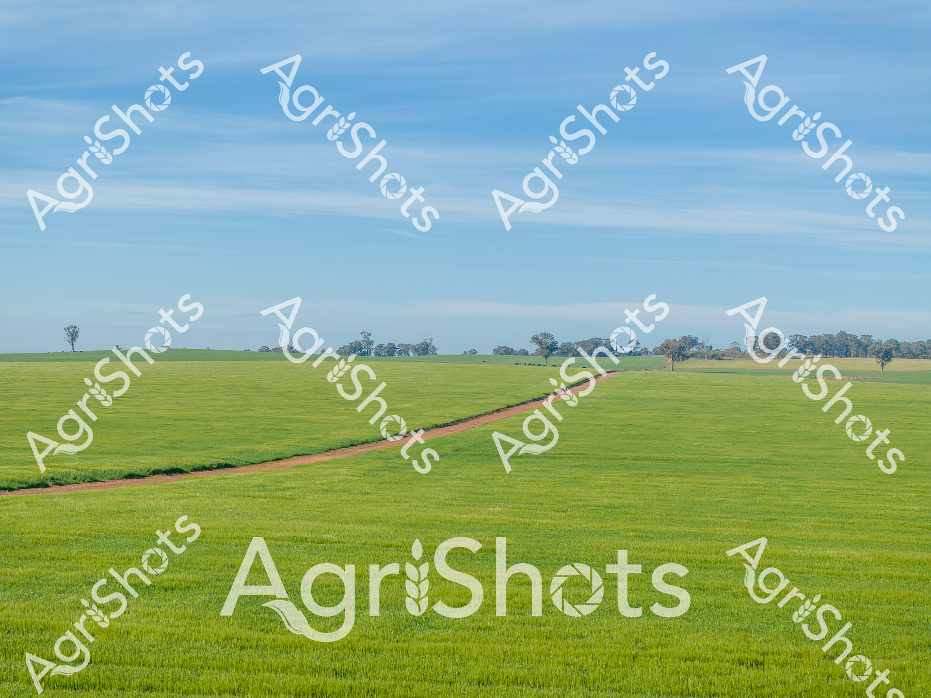
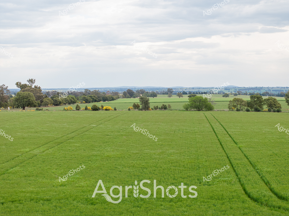
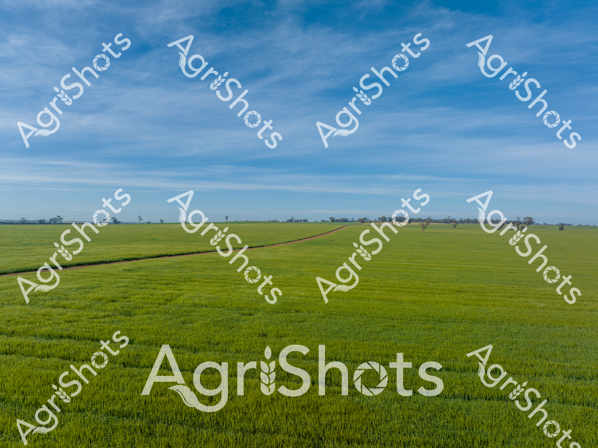
Verdant emerald plains stretch across the Riverina landscape, meticulously divided by precise irrigation channels that carve geometric precision through lush agricultural terrain. Elegant lone trees punctuate the green expanses, casting subtle shadows across meticulously cultivated paddocks, their weathered forms standing as sentinels of rural resilience. The overhead perspective reveals a masterful agricultural canvas, where water management transforms flat topography into a rhythmic checkerboard of agricultural productivity. Each verdant section represents carefully controlled agricultural zones, likely supporting rice cultivation during the high summer season of New South Wales. The geometric precision speaks to modern farming techniques - where every meter of land is strategically utilized, water is methodically distributed, and natural elements are harmonized with agricultural engineering. This aerial view captures the sophisticated dance between human intervention and natural landscape, showcasing the sophisticated agricultural practices that define Australia's rural heartland.