Related Images & Videos
View All Similar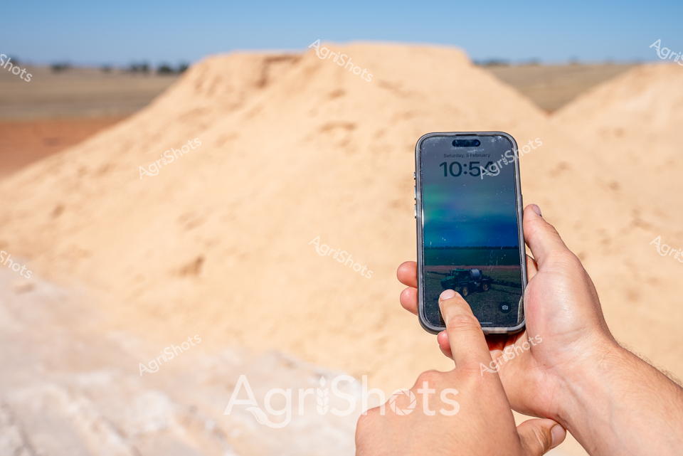


Purchase This Image
Get unlimited downloads with a subscription
View Subscription PlansAbout This Image
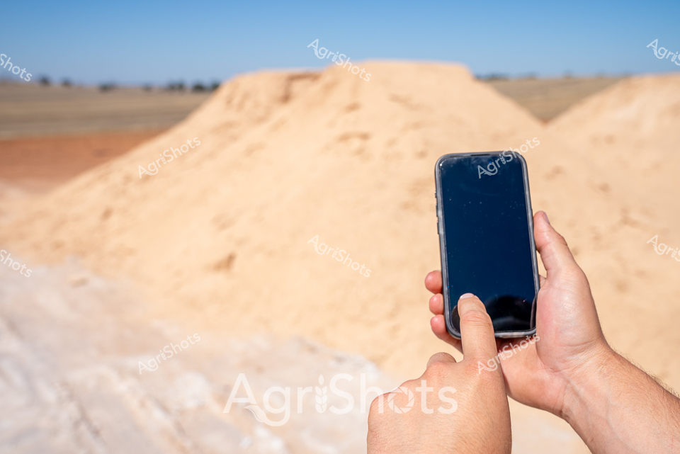
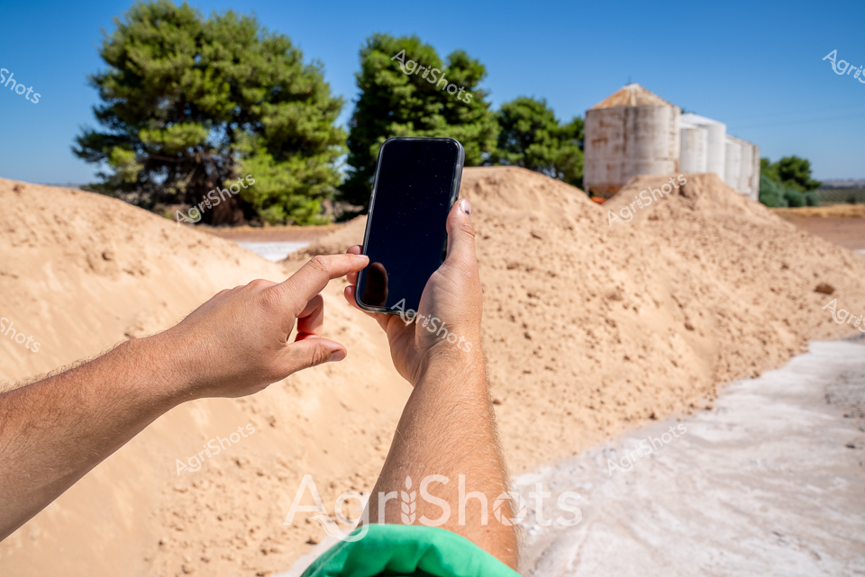
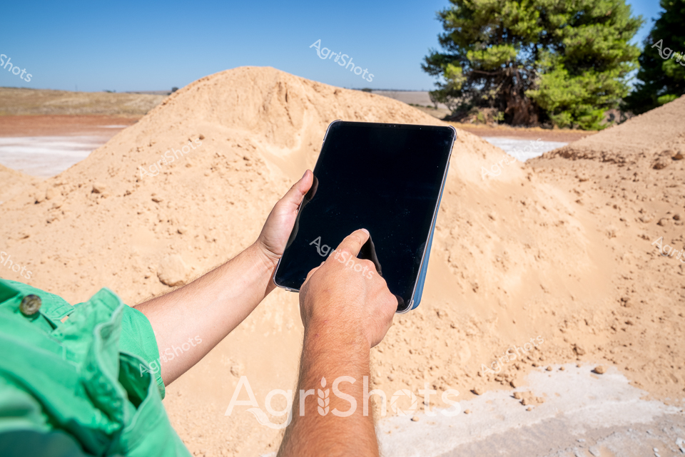
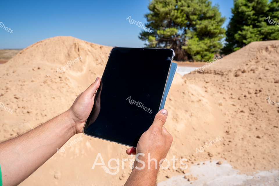
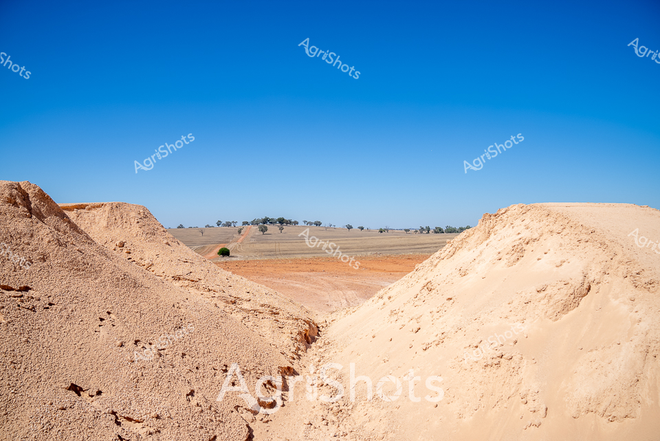
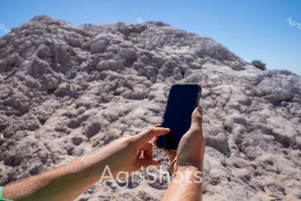
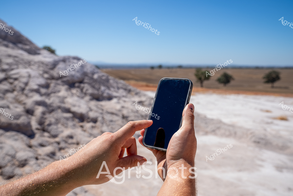
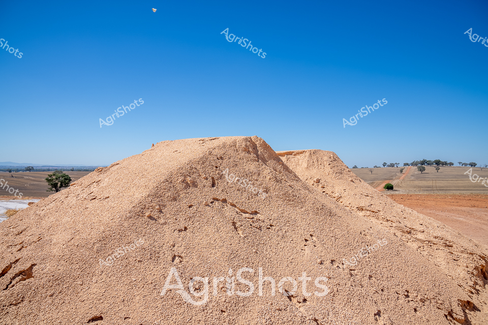
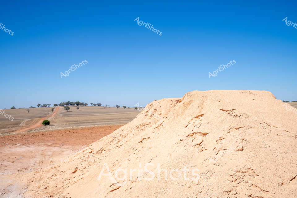
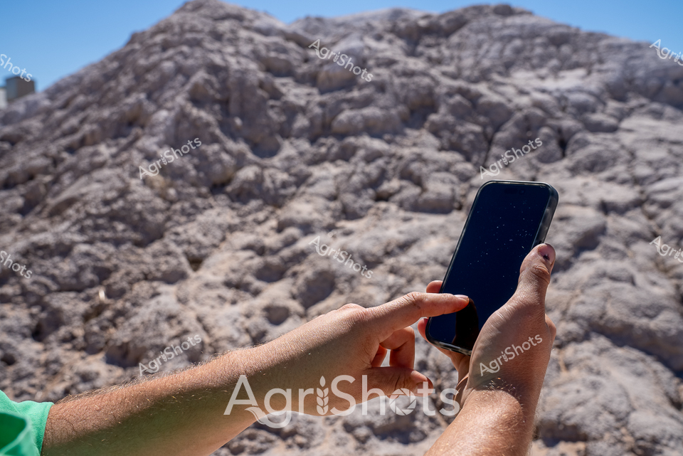
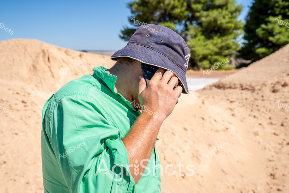
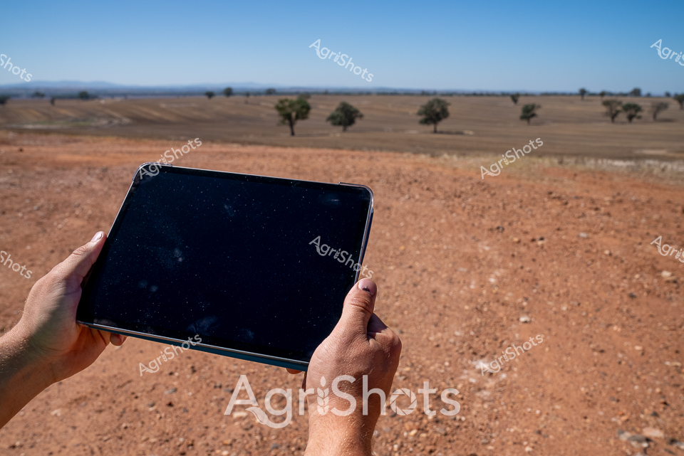
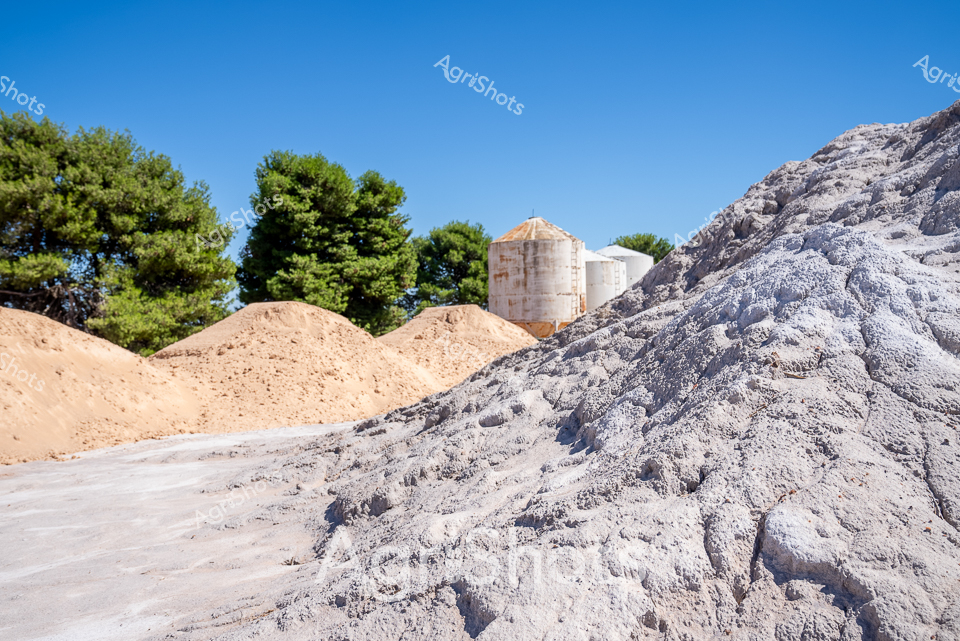
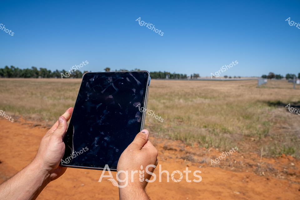
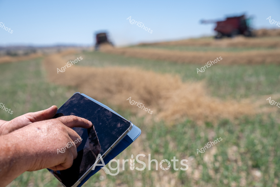
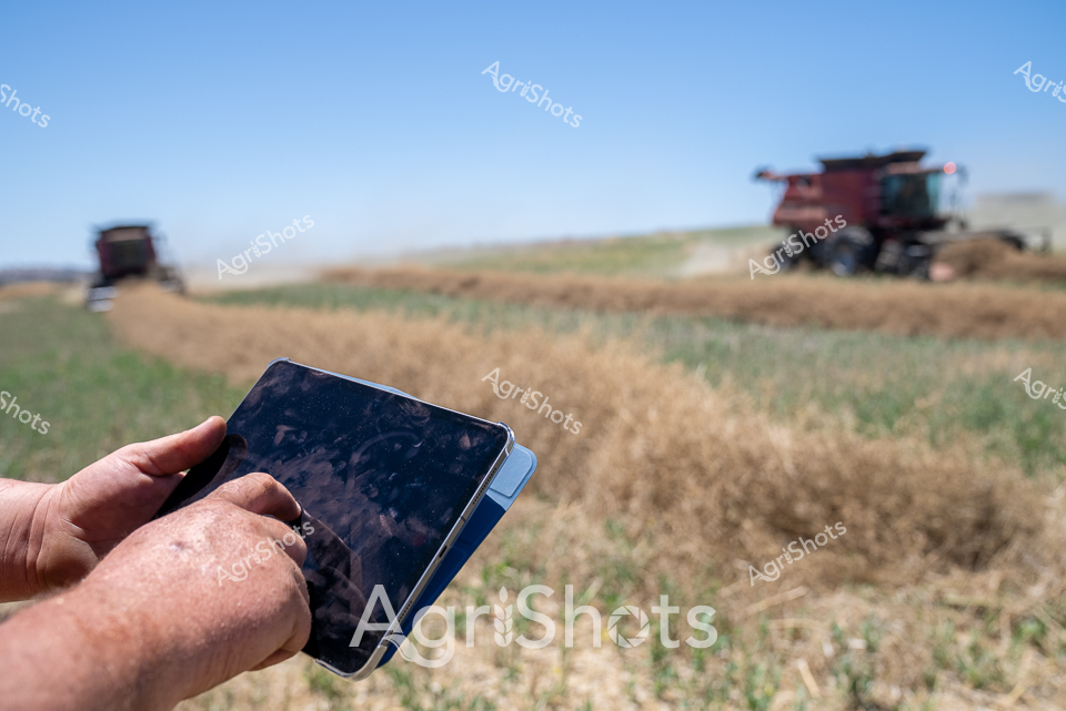
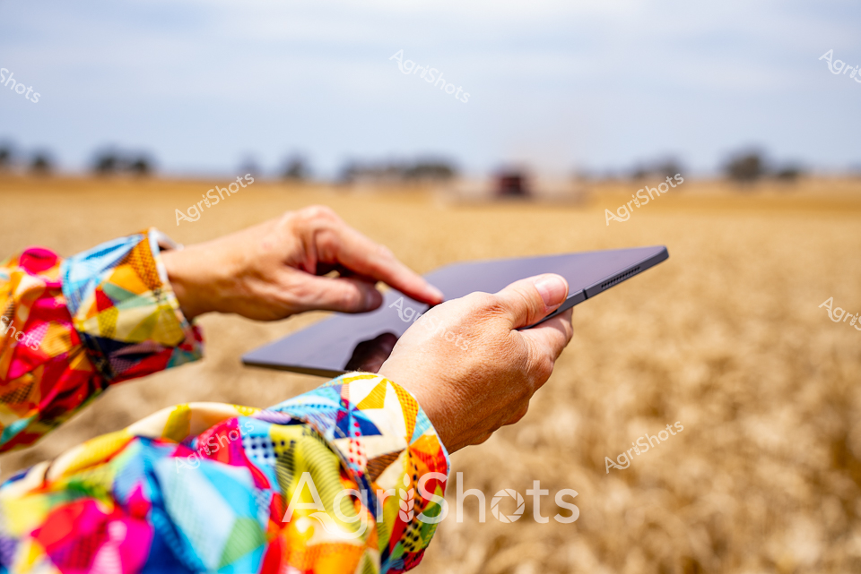
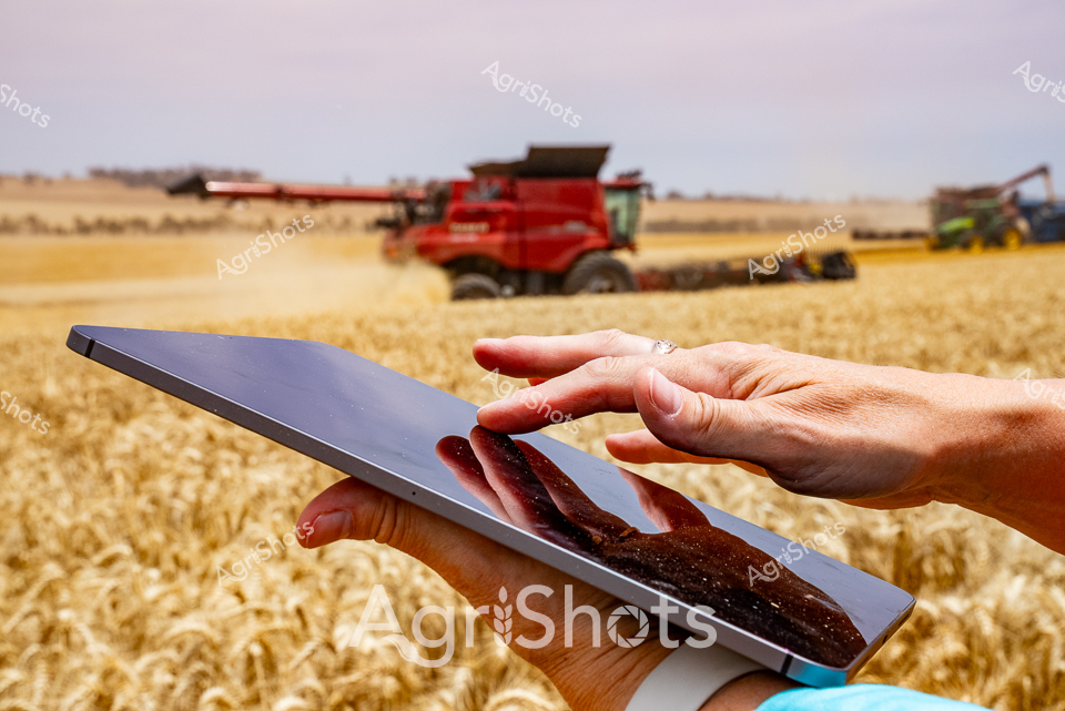
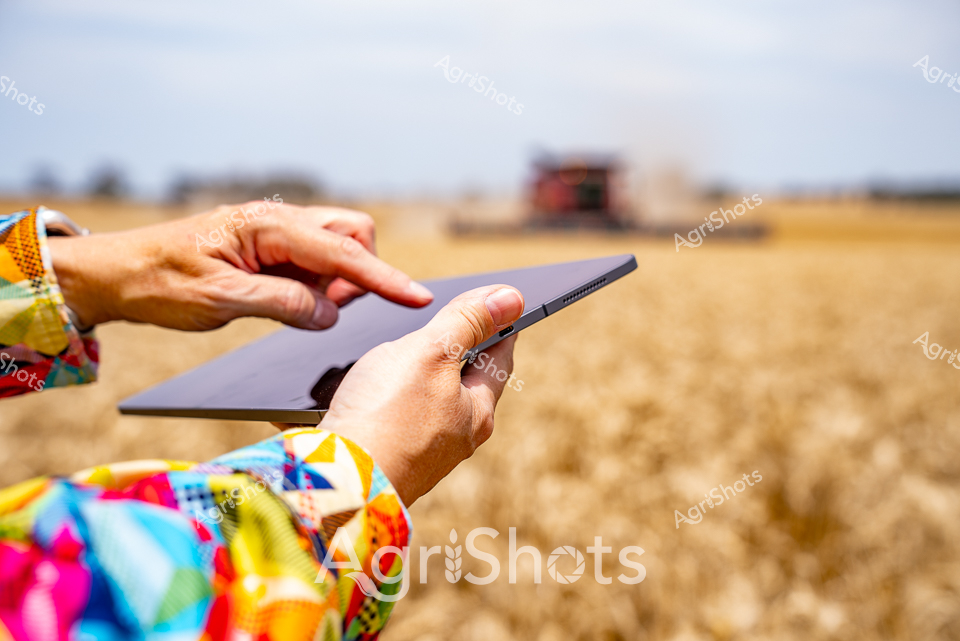
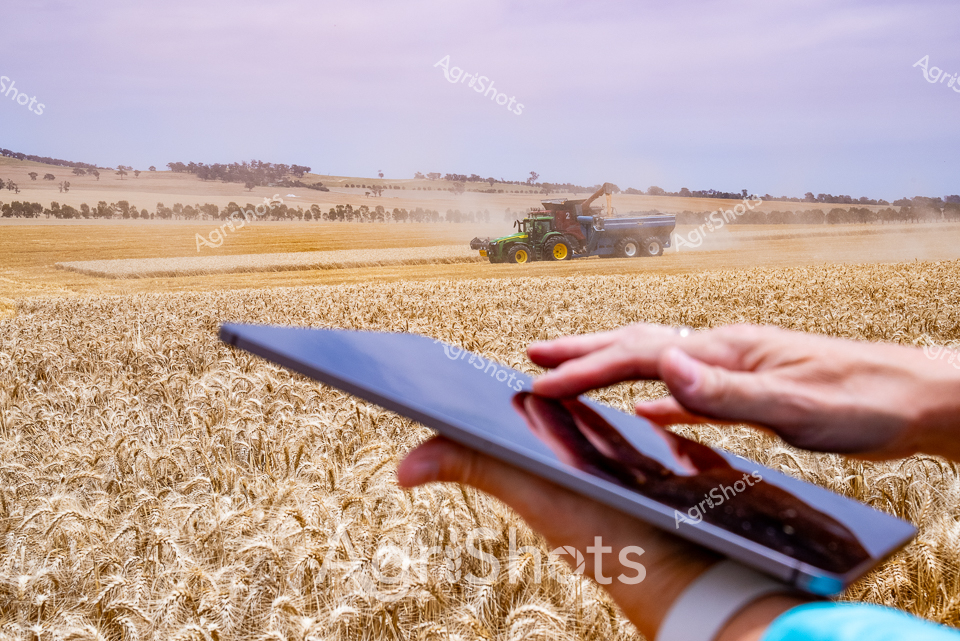
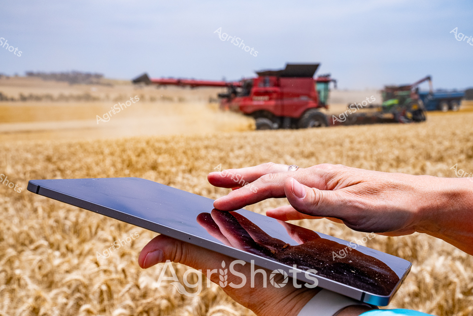
Agricultural Field Data Collection: Precision Farming in the Riverina A sun-drenched landscape of pale gypsum mounds stretches across the expansive Riverina plains, capturing the essence of modern agricultural data management. Precise fingers grip a smartphone, poised to record critical soil and field information against the golden-tan earth and clear azure sky. The scene epitomizes contemporary agricultural technology, where digital tools transform traditional farming practices through instant data capture and analysis. Broad sandy-colored soil heaps rise in the background, suggesting recent land preparation or mineral assessment, while the sleek mobile device represents the industry's technological evolution. This moment encapsulates the intersection of cutting-edge digital innovation and Australia's time-honored agricultural landscape, where farmers leverage real-time information to optimize crop management, soil health, and productivity. The stark contrast between the rugged natural terrain and the sophisticated electronic device highlights the progressive nature of agricultural science in regional New South Wales.