Related Images & Videos
View All Similar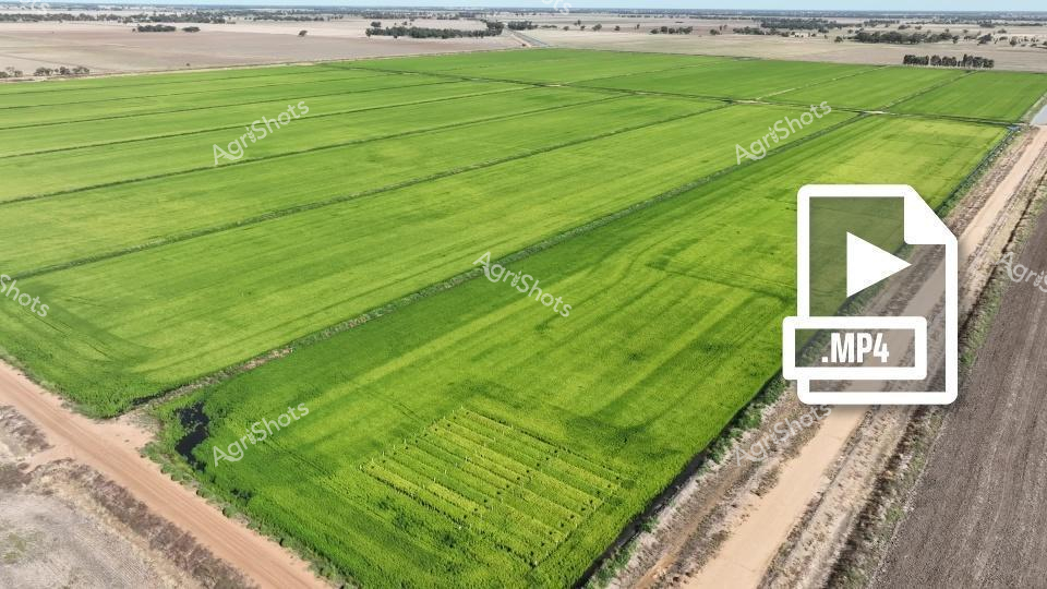


Purchase This Video
Get unlimited downloads with a subscription
View Subscription PlansAbout This Video
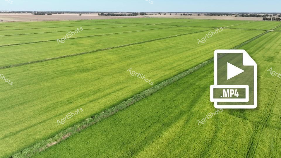
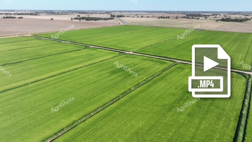
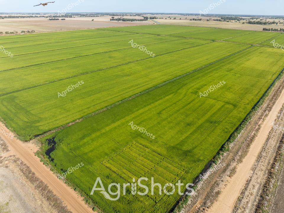
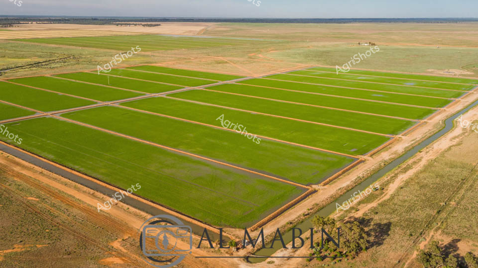
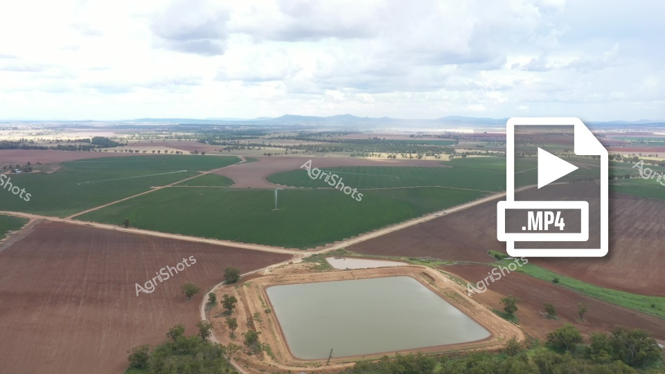
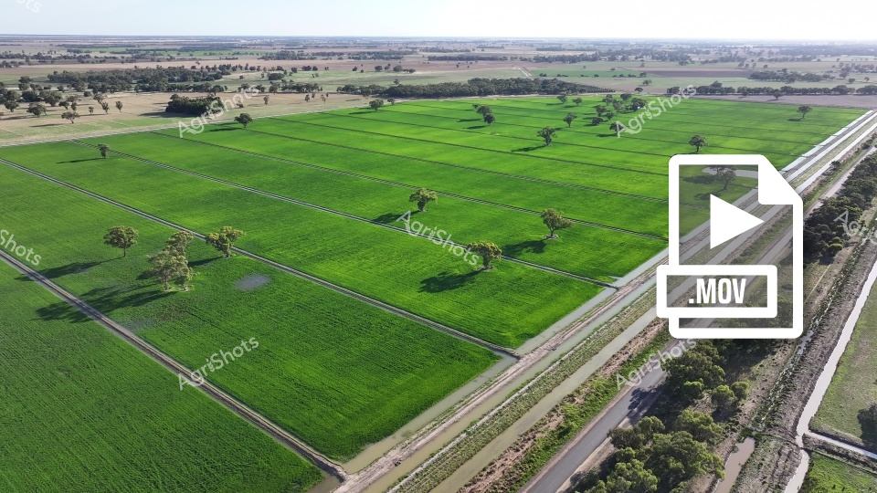
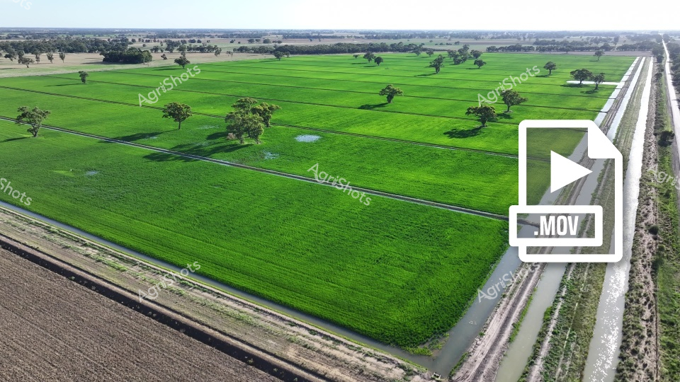
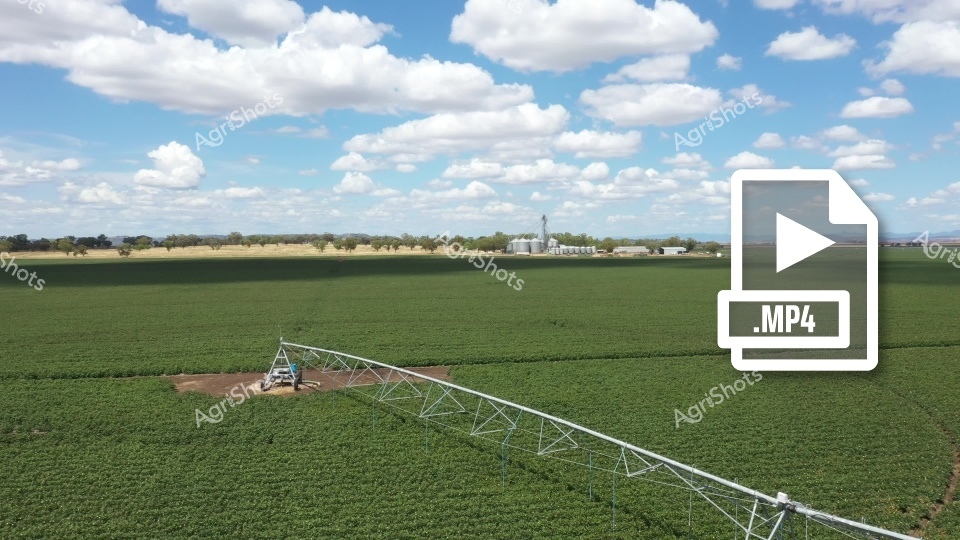
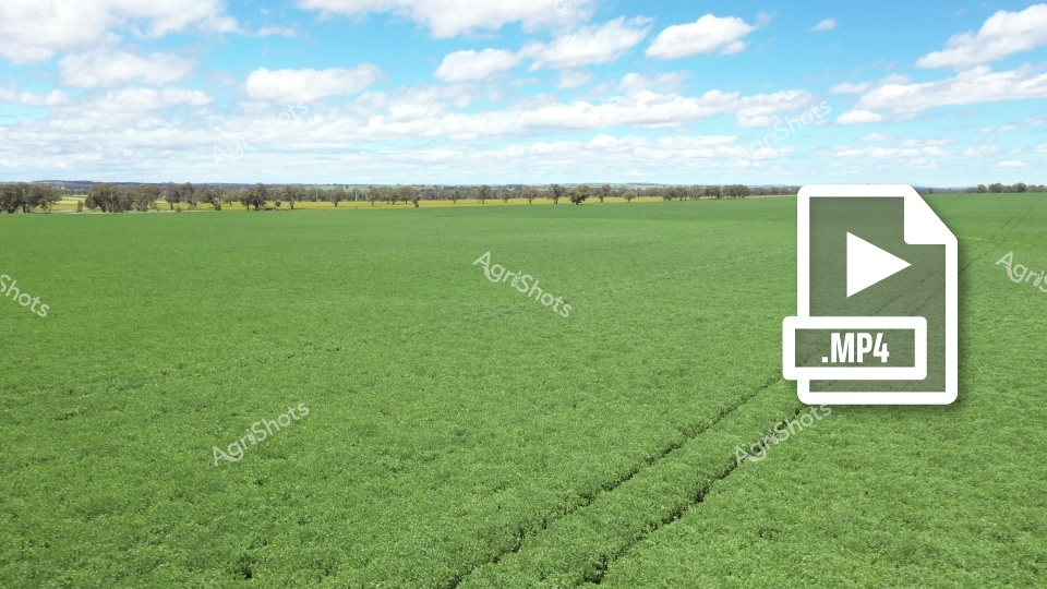
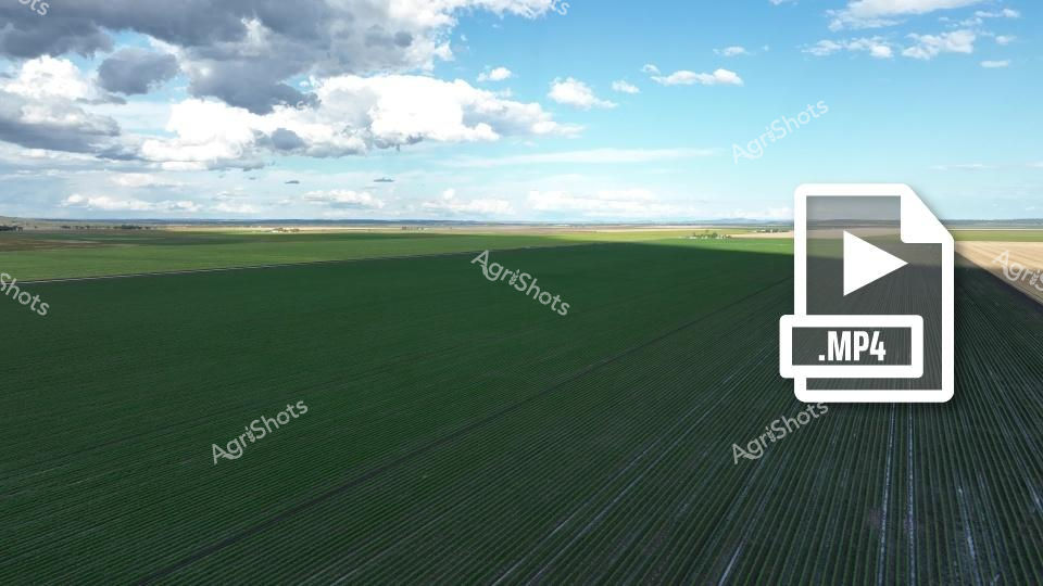
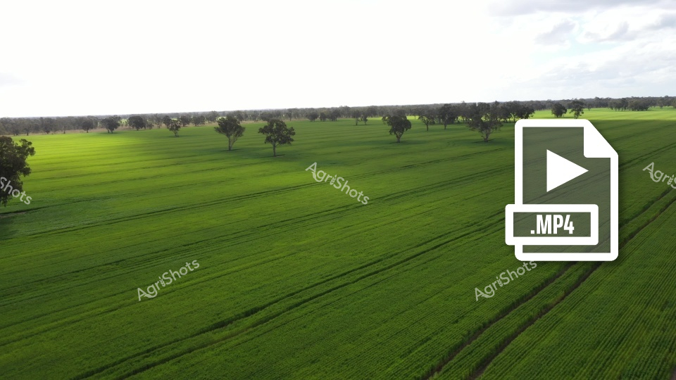
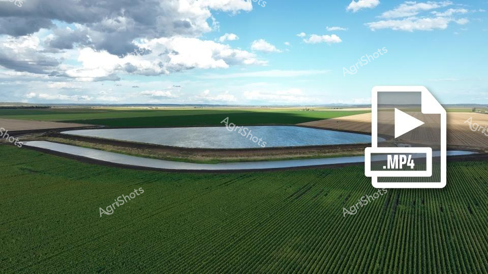
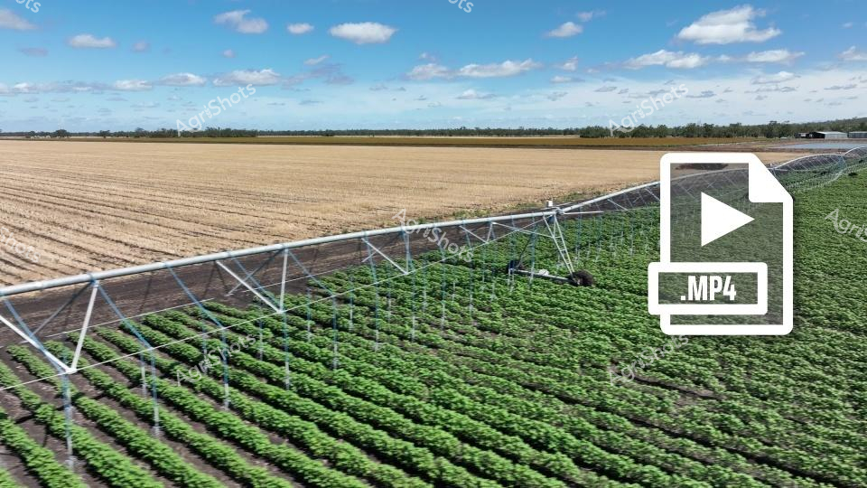
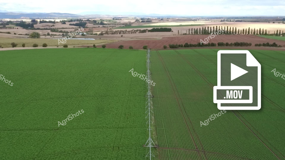
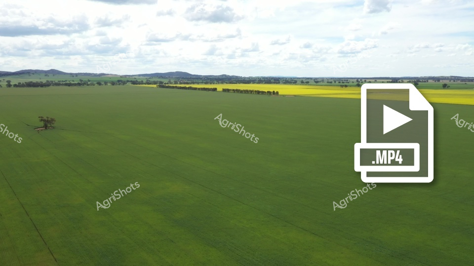
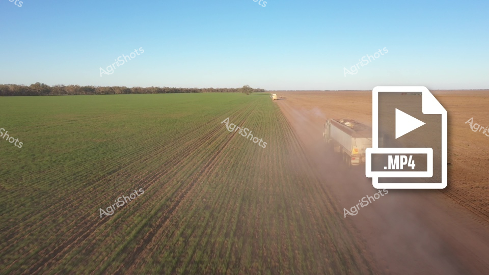
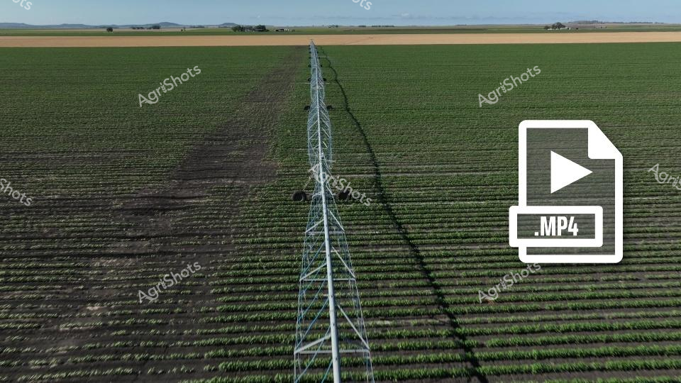
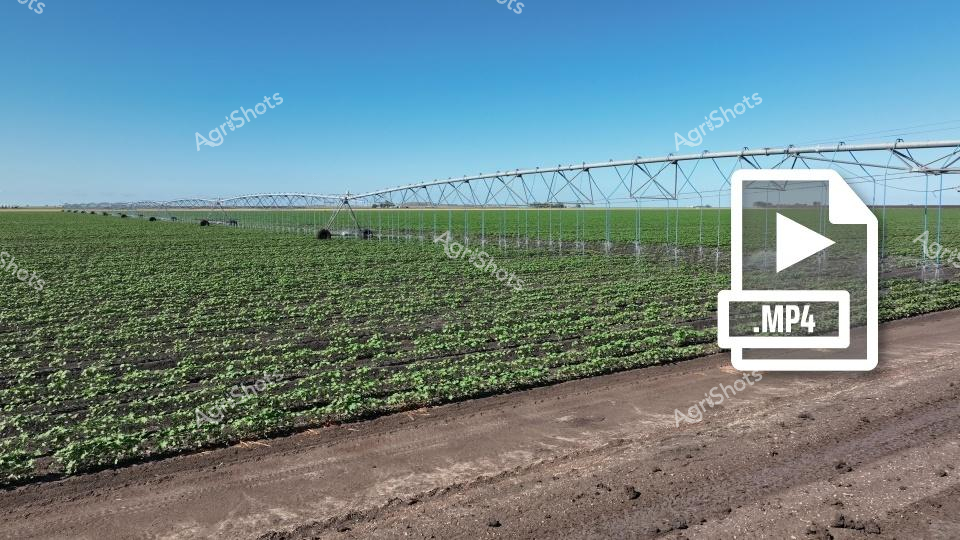
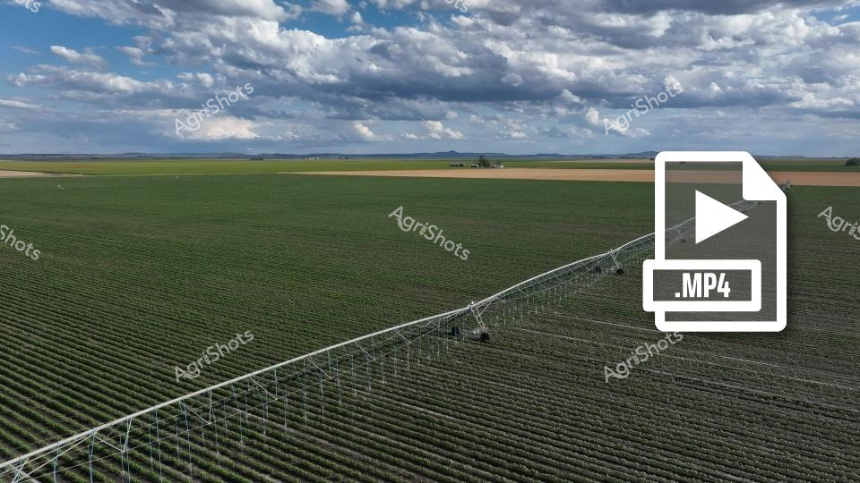
This stunning aerial footage captures a meticulously planned agricultural landscape, showcasing precisely cultivated green crop fields divided by strategic irrigation channels. The video reveals a geometric pattern of vibrant emerald-green crop rows, arranged in long, perfectly parallel sections intersected by carefully constructed dirt access paths. The surrounding terrain transitions from lush green cultivation to more arid, brownish-tan peripheral areas, highlighting the sophisticated water management and agricultural engineering required to transform this landscape. The clip provides a drone-perspective view that emphasizes the scale and precision of modern agricultural practices, with each field section demonstrating uniform crop growth and careful land management. Irrigation channels border the fields, creating natural boundaries and providing critical water resources to sustain the agricultural production. The broader landscape suggests a rural agricultural region, likely in an Australian farming district, where advanced agricultural techniques enable productive farming in potentially challenging environmental conditions. The rich green coloration indicates a healthy, thriving crop - possibly wheat, barley, or another cereal grain - at a mid-growth stage, with the uniform texture suggesting expert cultivation and consistent agricultural practices. The video powerfully illustrates the intersection of technological precision and natural agricultural processes.