Related Images & Videos

View All Similar
ALMABIN_1627524526_1.MP4_wp23870.jpg
73%
Video
ALMABIN_1627524382_9.MP4_wp23866.jpg
69%
Video
ALMABIN_1628042130_8.MP4_wp23898.jpg
69%
Video
ALMABIN_1628128280_6.MP4_wp23980.jpg
68%
Video
ALMABIN_1626927328_8.MP4_wp23762.jpg
68%
Video
ALMABIN_1628128312_7.MP4_wp23982.jpg
67%
Video
ALMABIN_1627524724_4.MP4_wp23876.jpg
67%
Video
ALMABIN_1627524784_5.MP4_wp23878.jpg
67%
Video
ALMABIN_1627524266_6.MP4_wp23860.jpg
66%
Video
ALMABIN_1628128250_5.MP4_wp23978.jpg
65%
Video
ALMABIN_1628128008_9.MP4_wp23966.jpg
65%
Video
ALMABIN_1628127918_7.MP4_wp23962.jpg
64%
Video
ALMABIN_1628127956_8.MP4_wp23964.jpg
64%
Video
ALMABIN_1626928394_2.MP4_wp23792.jpg
63%
Video
ALMABIN_1628128166_3.MP4_wp23974.jpg
63%
Video
ALMABIN_1626927592_5.MP4_wp23768.jpg
62%
Video
ALMABIN_1627524614_2.MP4_wp23872.jpg
59%
Video
ALMABIN_1627524160_4.MP4_wp23856.jpg
57%
Video
ALMABIN_1626927376_0.MP4_wp23766.jpg
56%
Video
ALMABIN_1628127012_6.MP4_wp23940.jpg
36%
Video

Dust billows from a weathered dirt track as a utility vehicle leads a substantial herd of black Angu...

ALMABIN_1628115760_4.MP4_wp23904.jpg
36%
Video
ALMABIN_1623715826_2.MP4_wp23612.jpg
36%
Video

Beneath an expansive pewter-grey sky, a drone captures the rhythmic movement of a cattle muster acro...

Purchase This Video

$110.00
inc GST
$110.00 ex GST
OR

Get unlimited downloads with a subscription

View Subscription Plans
High-resolution download
No watermark
Commercial license included

About This Video

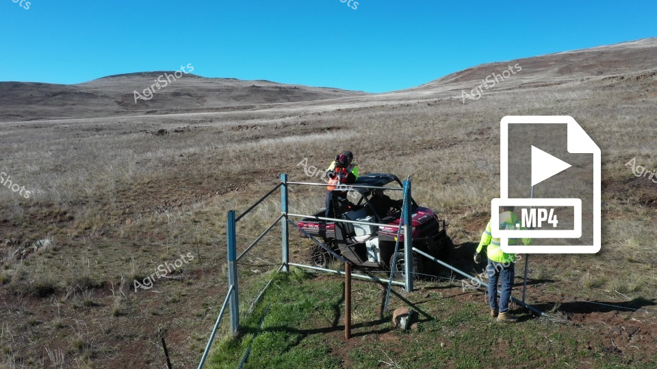
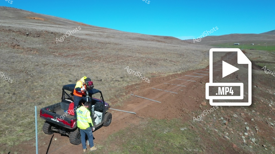
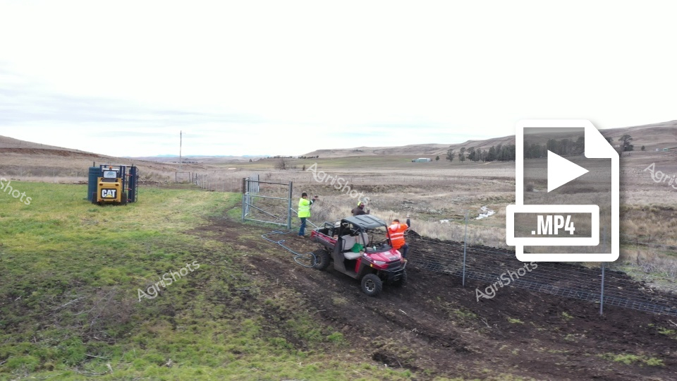
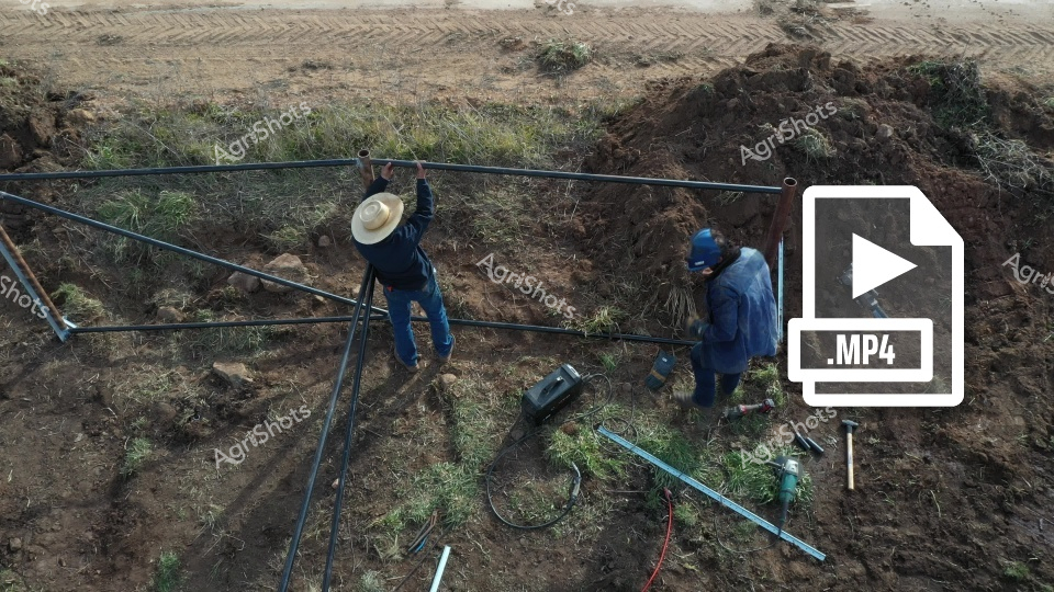
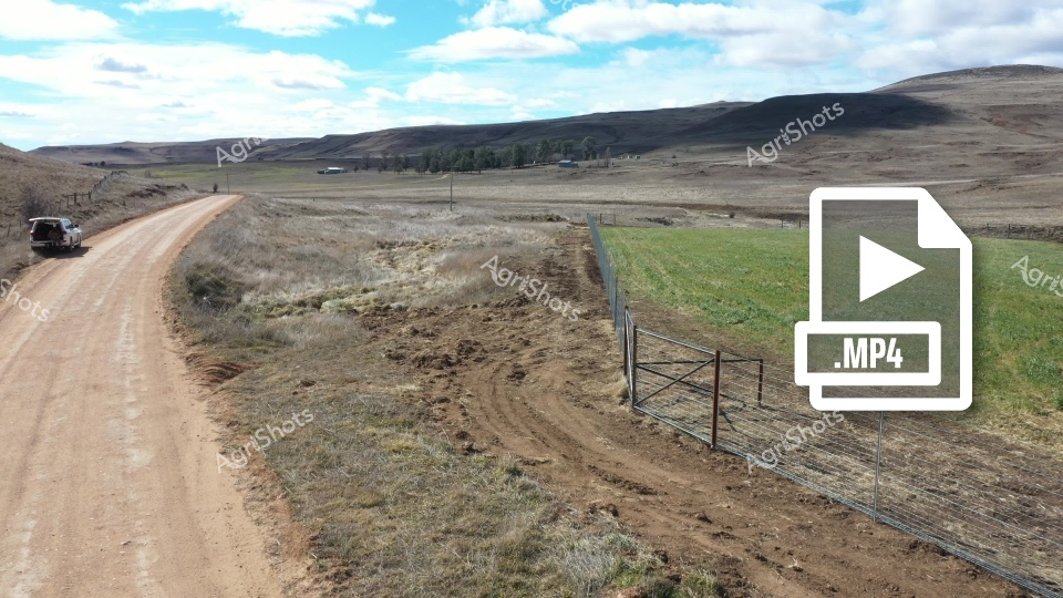
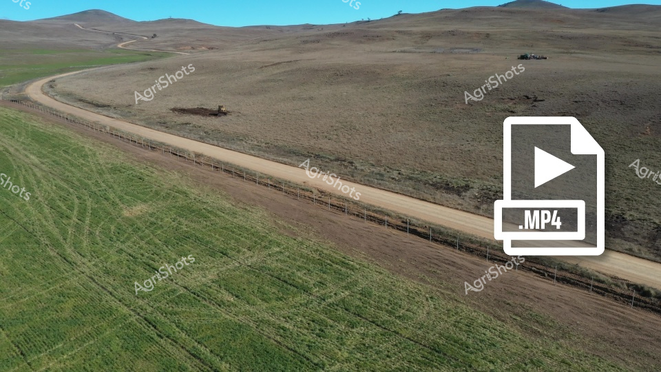
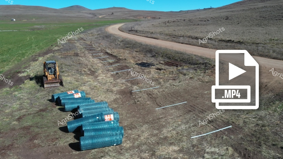
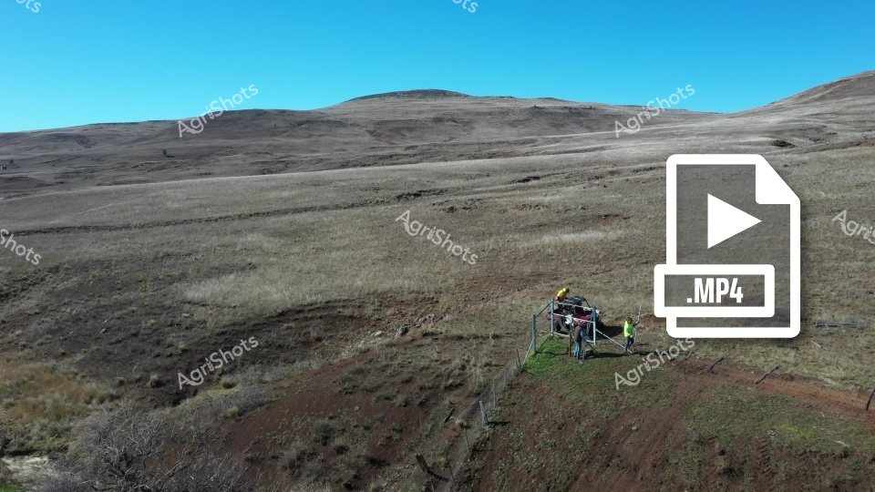
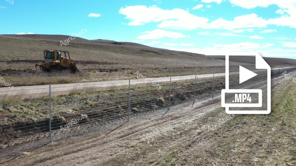
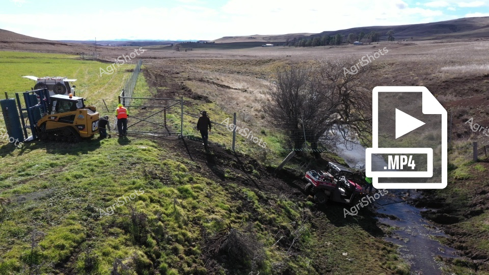
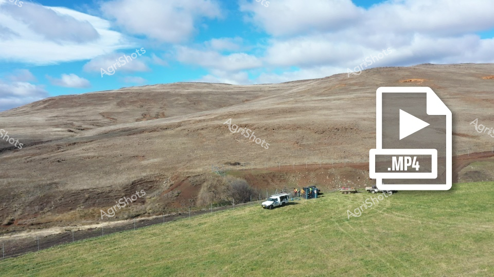
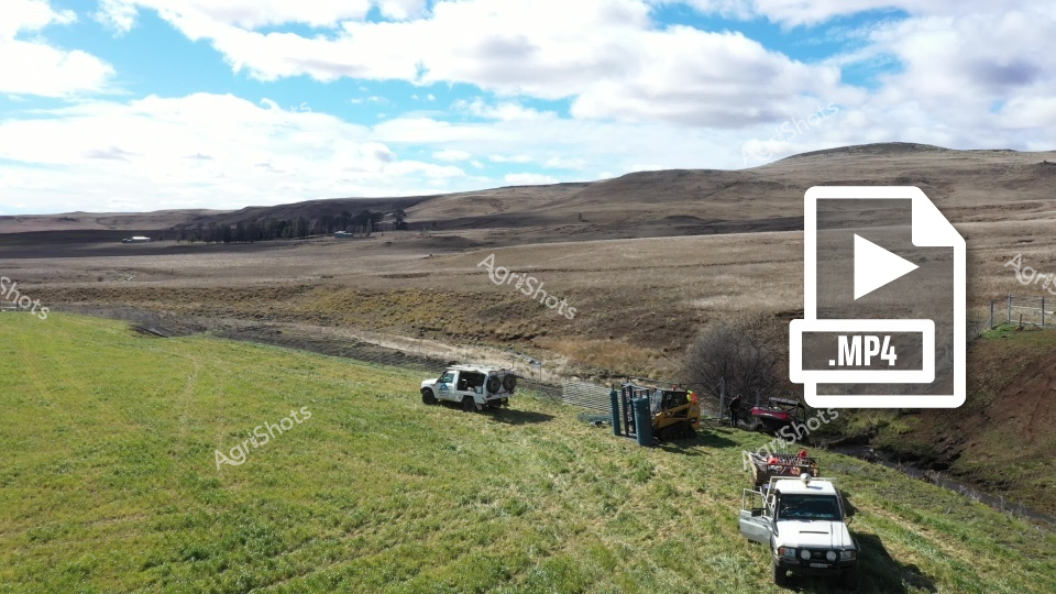
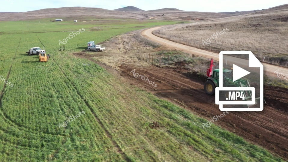
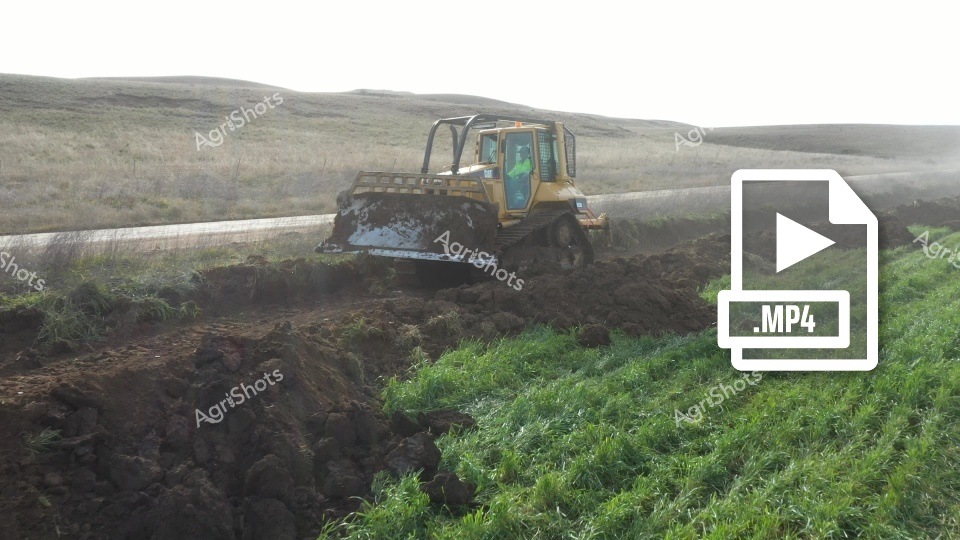
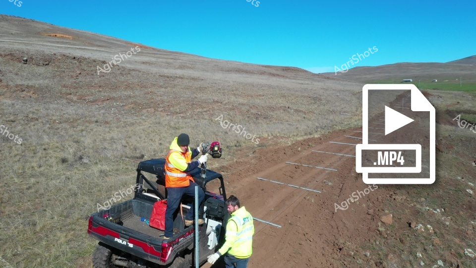
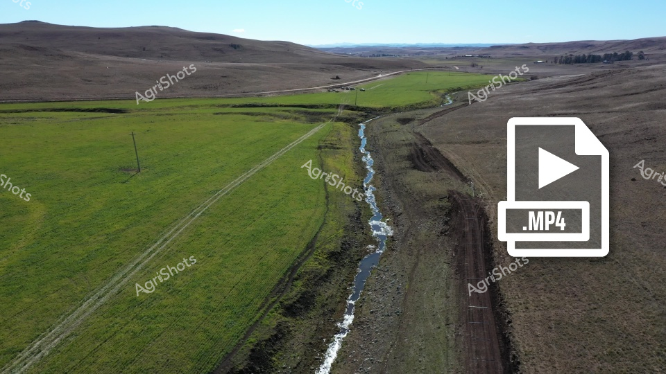
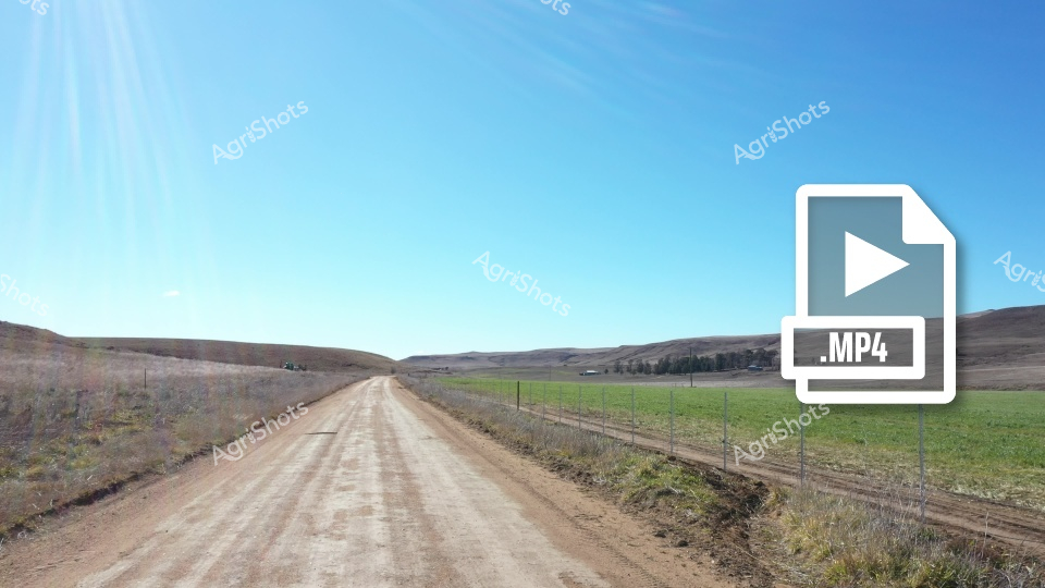
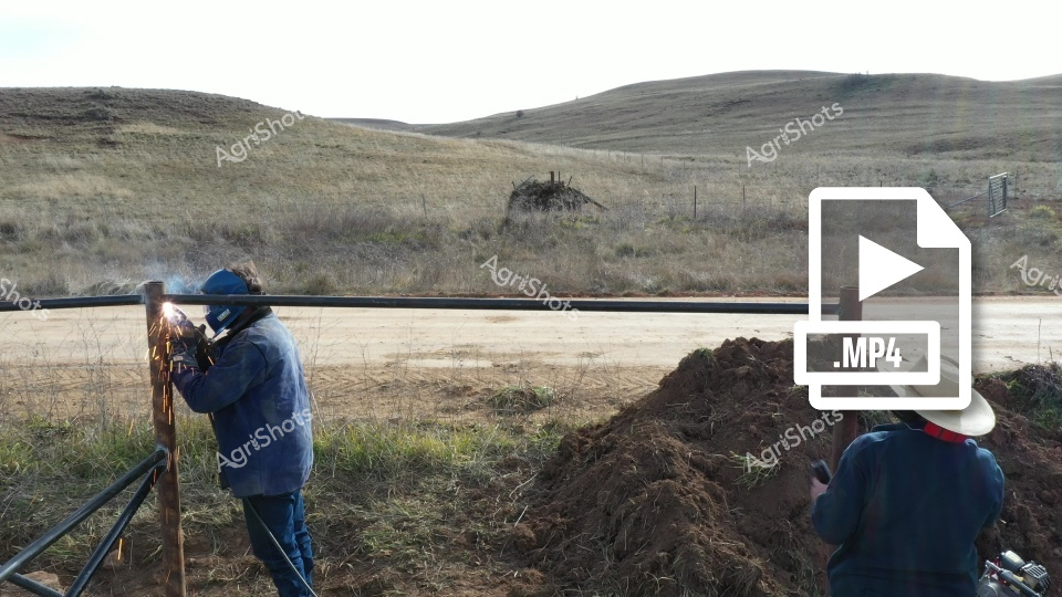
Rural boundary survey along a meandering creek line reveals precision agricultural infrastructure development. A survey team in high-visibility green safety gear documents a dirt track running parallel to a narrow blue waterway, with verdant pasture on one side transitioning to dry golden grasslands. Waratah fencing posts mark a systematic boundary line, suggesting an expansive livestock station in rural New South Wales preparing for strategic land management or exclusion fencing installation. The drone perspective captures the rugged topography - gentle slopes, scattered rock formations, and windswept landscape typical of Australian agricultural regions during the dry season. Sophisticated mapping and geospatial technologies are being employed to precisely measure and document land boundaries, reflecting the sophisticated technical approaches of modern agricultural operations. The scene eloquently portrays the intersection of traditional rural landscape and contemporary agricultural engineering, with careful human intervention sensitively integrated into the natural environment.

Rate this Video

Login to rate this image
Back to Gallery