Related Images & Videos
View All Similar


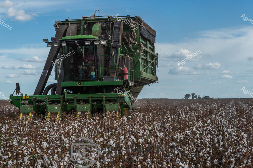

Purchase This Image
Get unlimited downloads with a subscription
View Subscription PlansAbout This Image
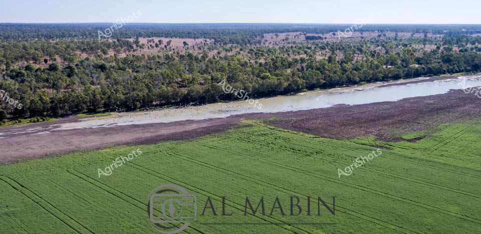
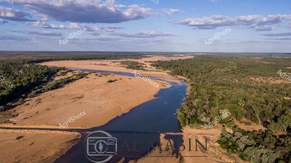
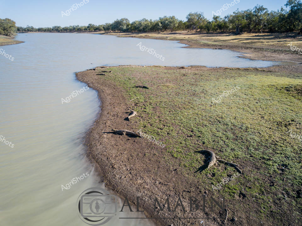
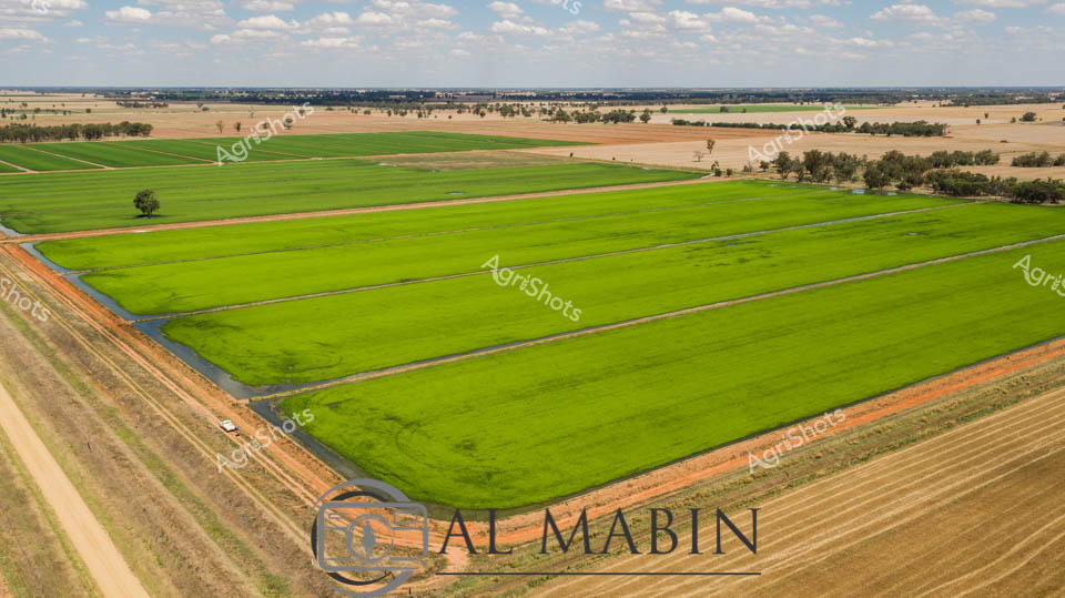
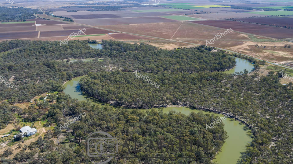
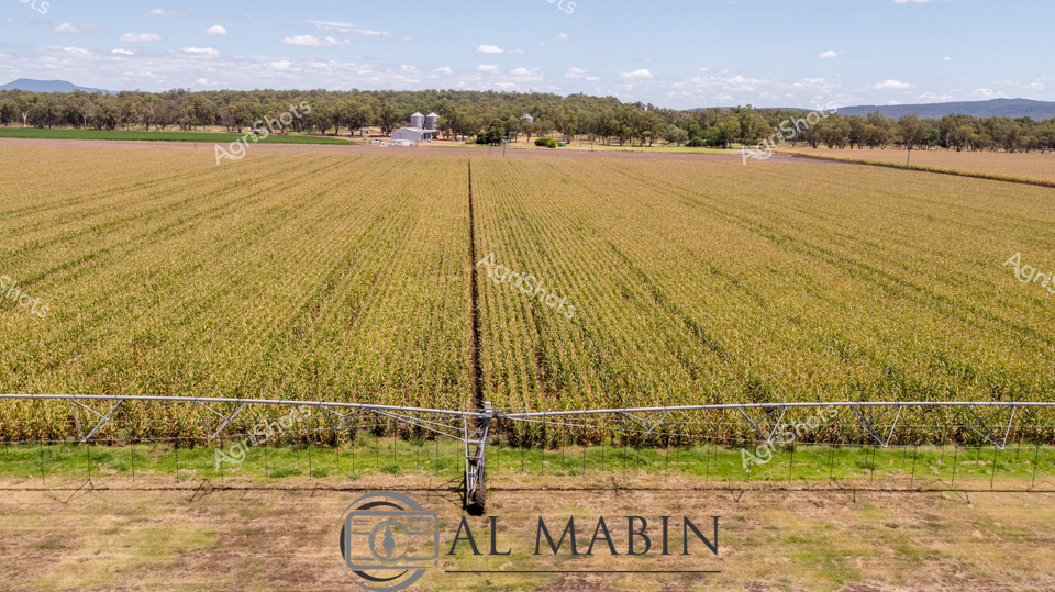
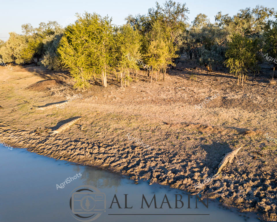
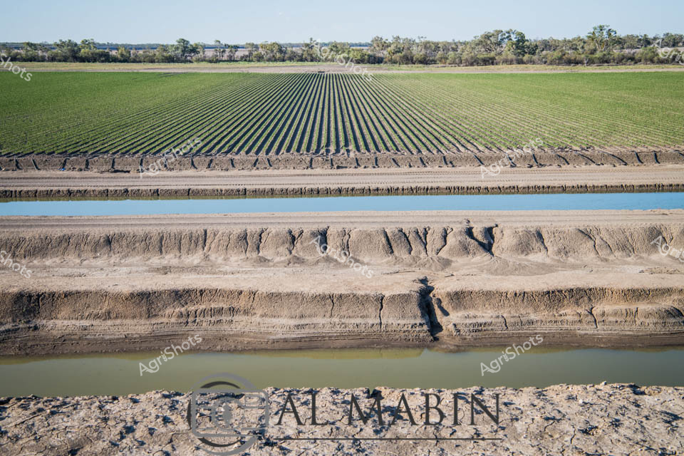
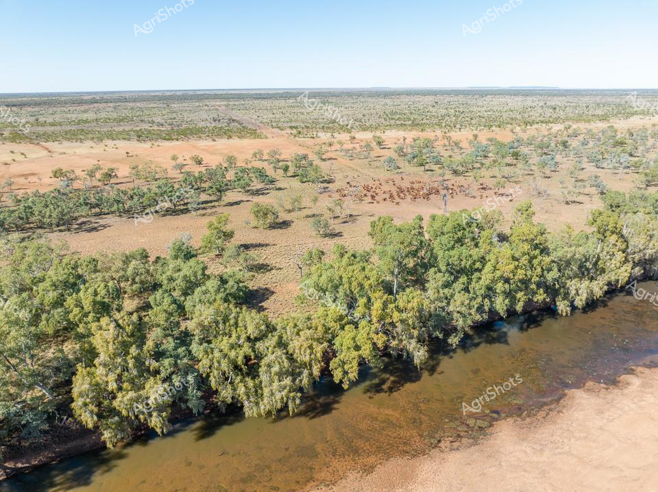
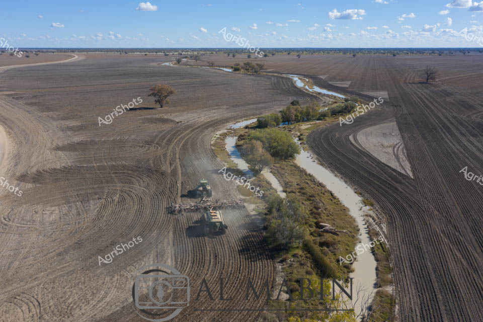
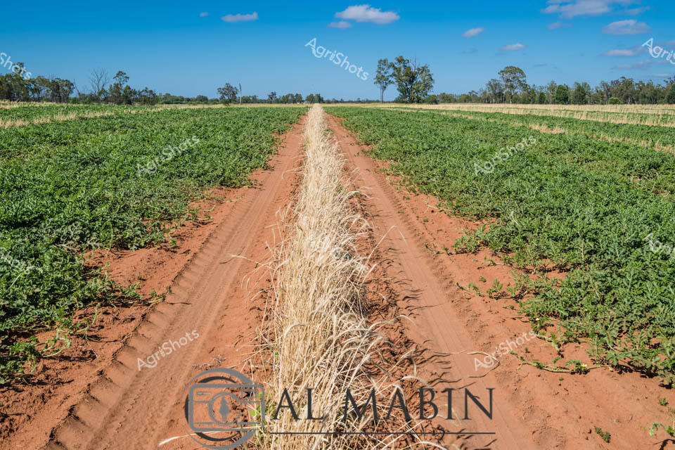
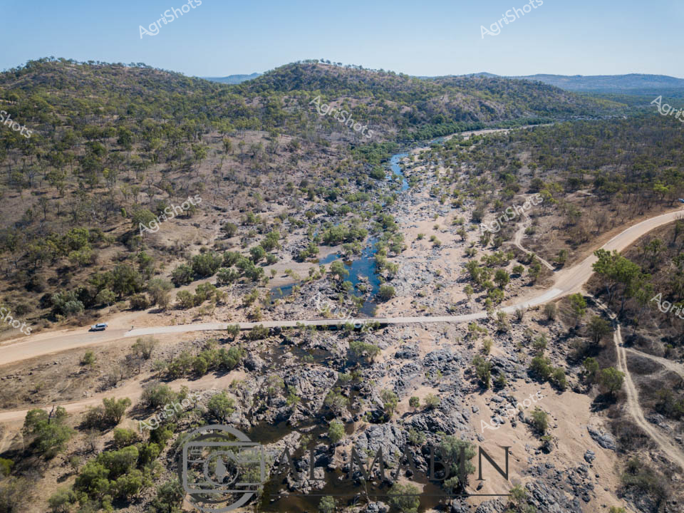
Nestled in the expansive agricultural landscape of Queensland, this striking aerial view captures the intricate relationship between waterways and cultivated land. Vibrant green chickpea fields stretch across the foreground, their precise row patterns revealing meticulous agricultural planning and modern farming techniques. The rich agricultural terrain meets a winding river, with its muddy banks creating a natural boundary between the cultivated areas and the surrounding native bushland. Dense eucalyptus forests frame the river's edge, offering a textural contrast to the geometric precision of the crops. The Al Mabin watermark signifies this as a professional agricultural documentation, highlighting the importance of capturing Queensland's agricultural narratives. The panoramic vista speaks to the resilience and sophistication of Australian agricultural practices, showcasing how farmers strategically utilize water resources and carefully selected land to produce vital food crops in challenging environmental conditions.