Related Images & Videos
View All Similar
Purchase This Video
Get unlimited downloads with a subscription
View Subscription PlansAbout This Video
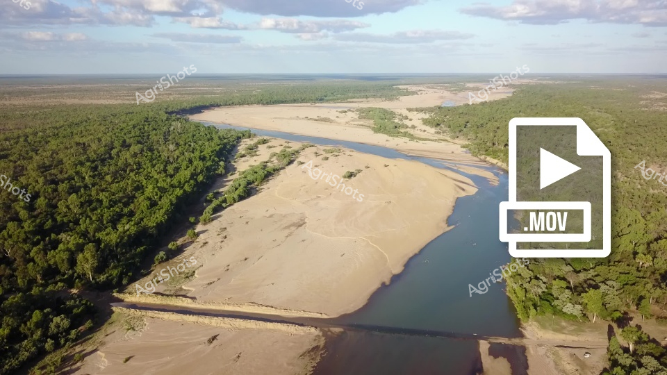
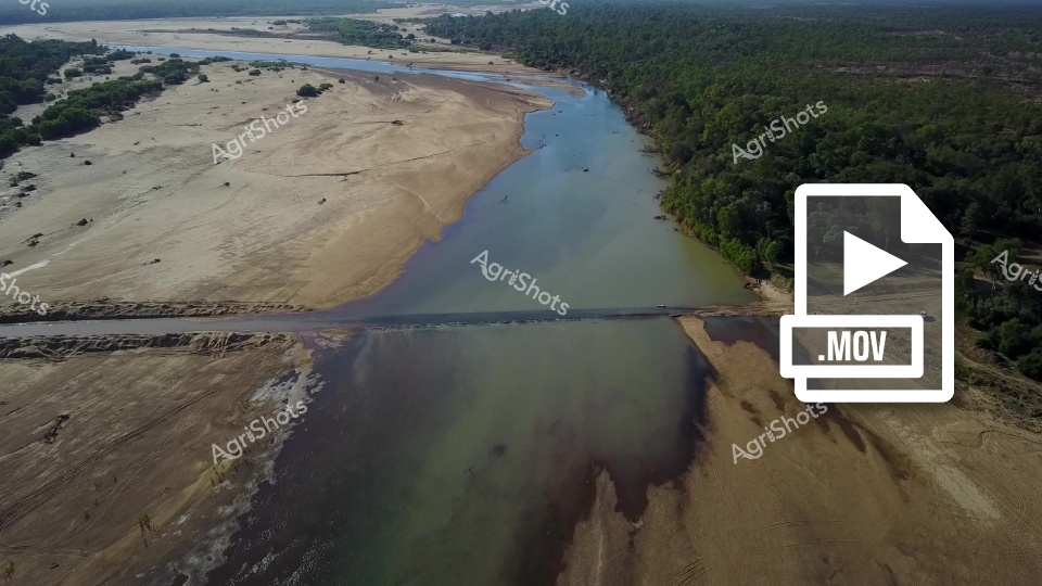
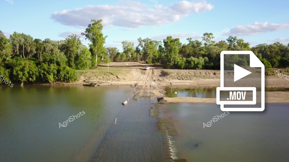
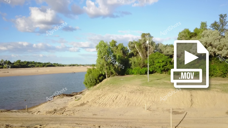
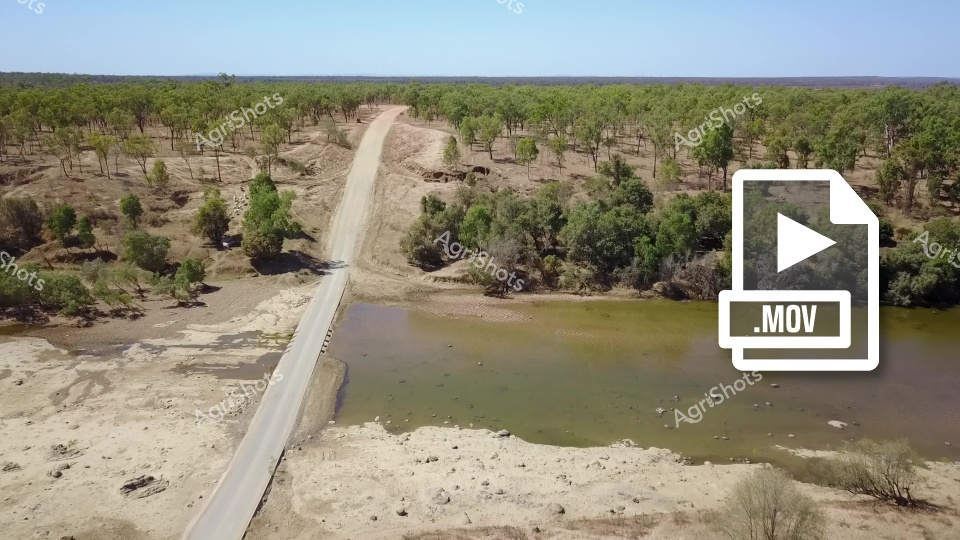
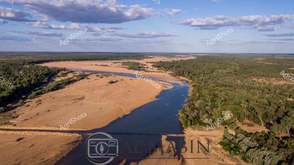
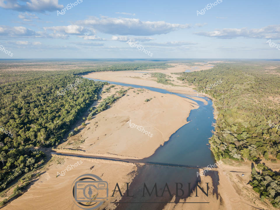
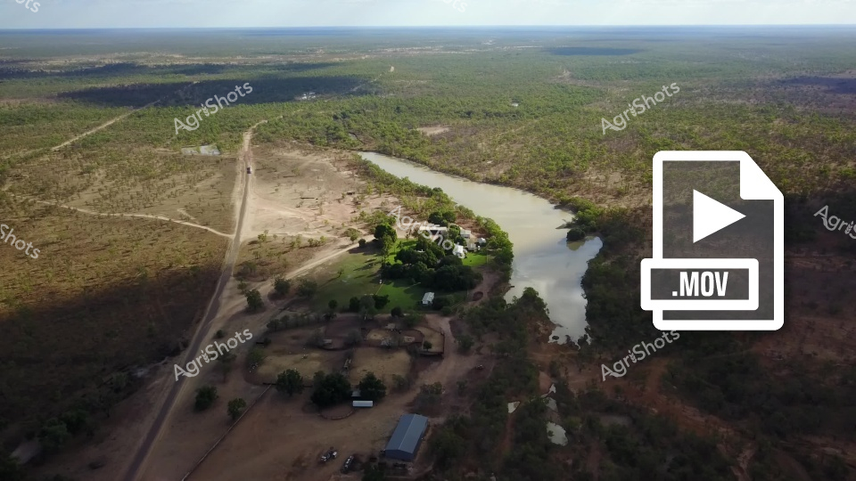
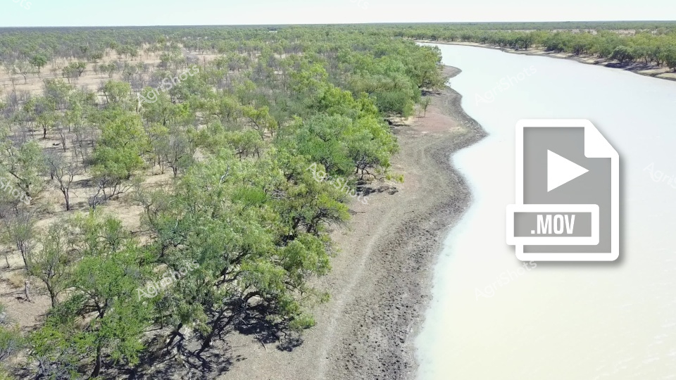
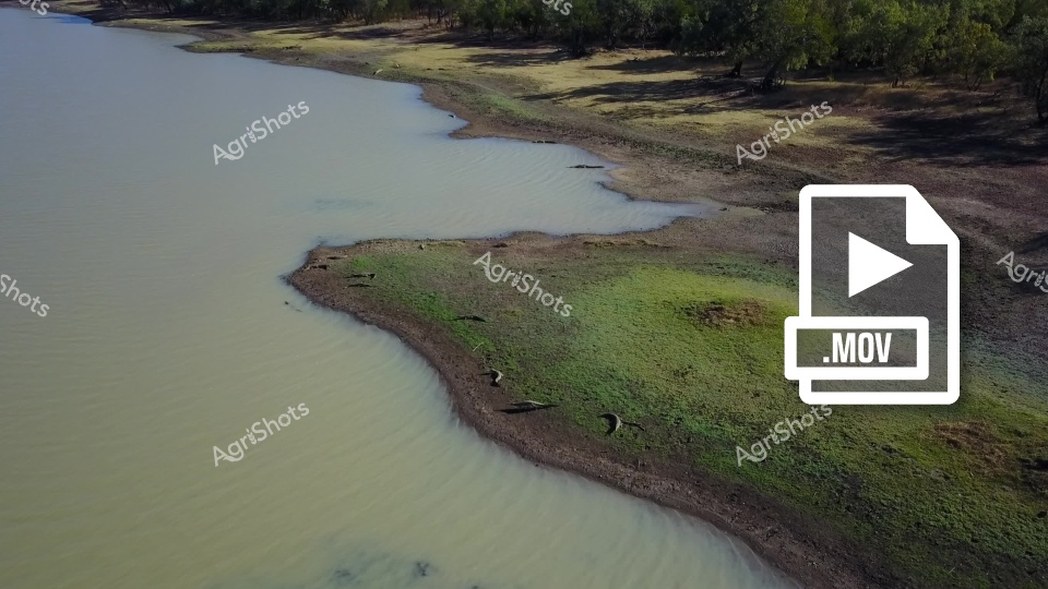
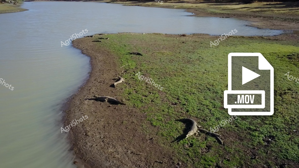
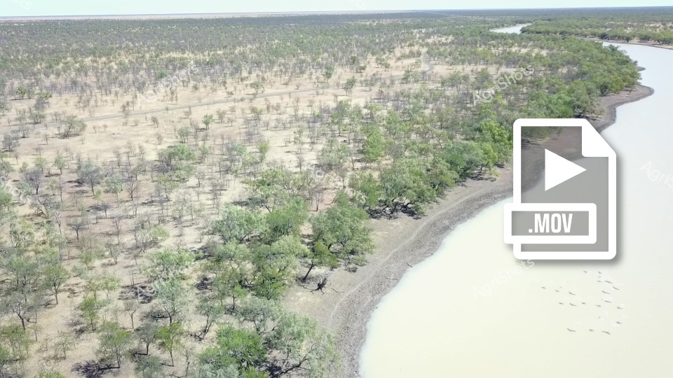
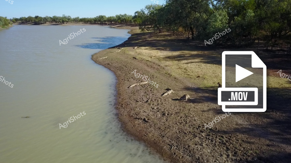
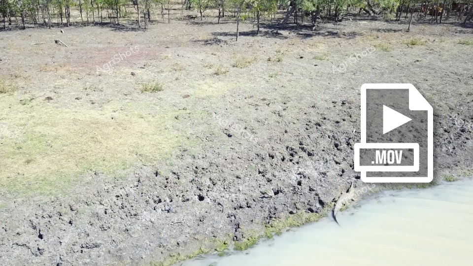
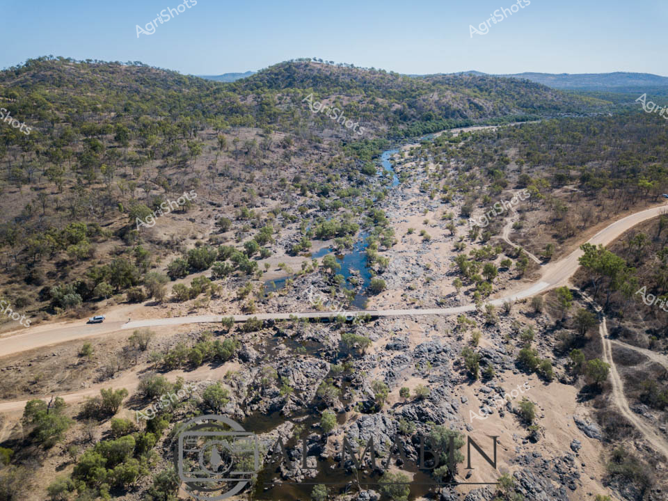
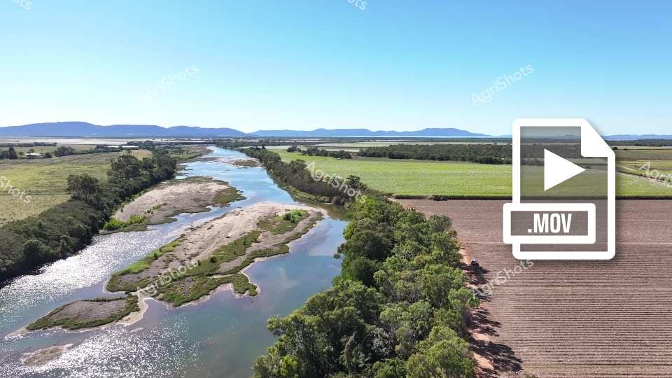
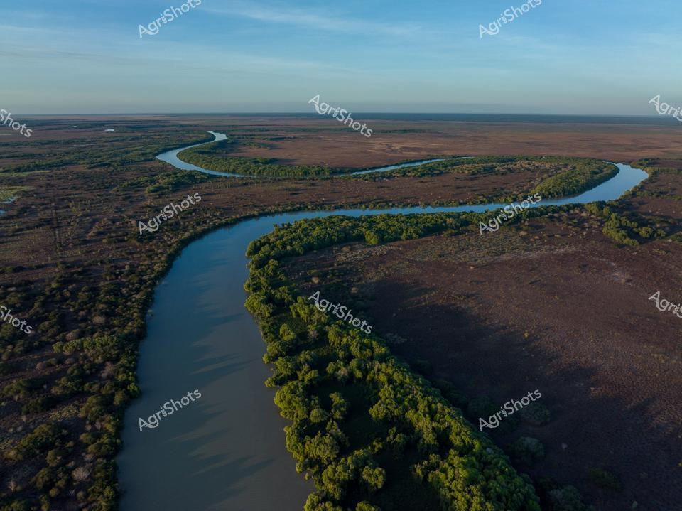
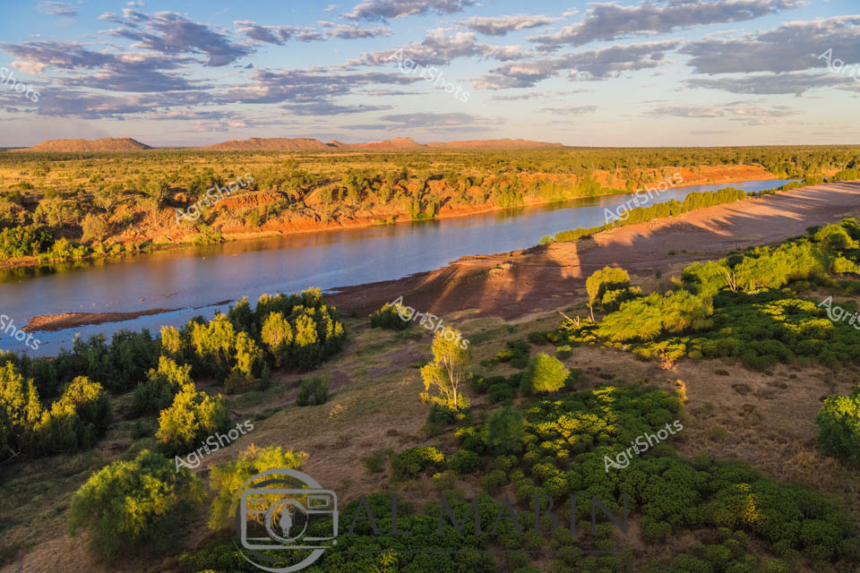
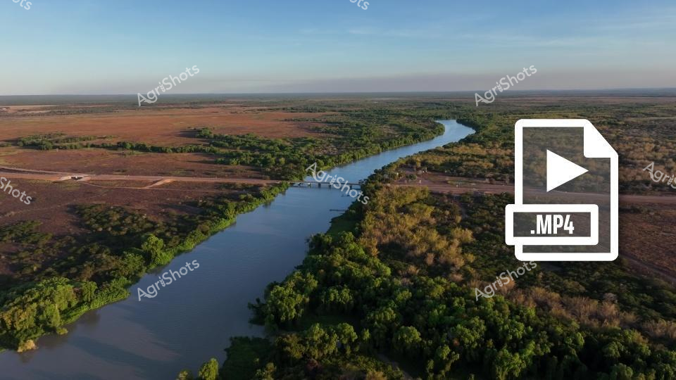
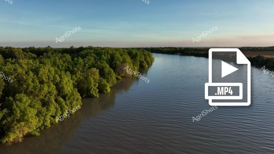
Aerial river landscape revealing drought-affected terrain in a regional waterway system. Sandy banks and multiple braided water channels create intricate patterns across the floodplain, exposing dry sedimentary layers and sparse vegetation. The river's sunlight-reflected surface cuts a brilliant white-blue pathway through the brown and beige landscape, highlighting the dramatic water levels and environmental conditions. Surrounding green forest reserves frame the edges of the barren riverbed, suggesting a stark contrast between vegetated zones and the water-depleted central area. Aerial perspective captures the geological complexity and environmental dynamics of this potentially climate-stressed river system, revealing the intricate topographical changes caused by reduced water flow. The .MOV video file icon suggests this is a dynamic video capture documenting the river's current state, potentially for environmental monitoring or agricultural research purposes. Waterway geomorphology is critically important for understanding regional agricultural and ecological sustainability.