Related Images & Videos
View All Similar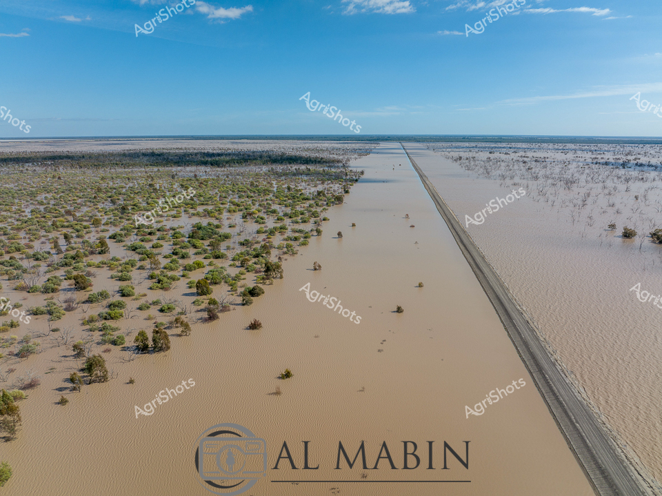
Purchase This Image
Get unlimited downloads with a subscription
View Subscription PlansAbout This Image
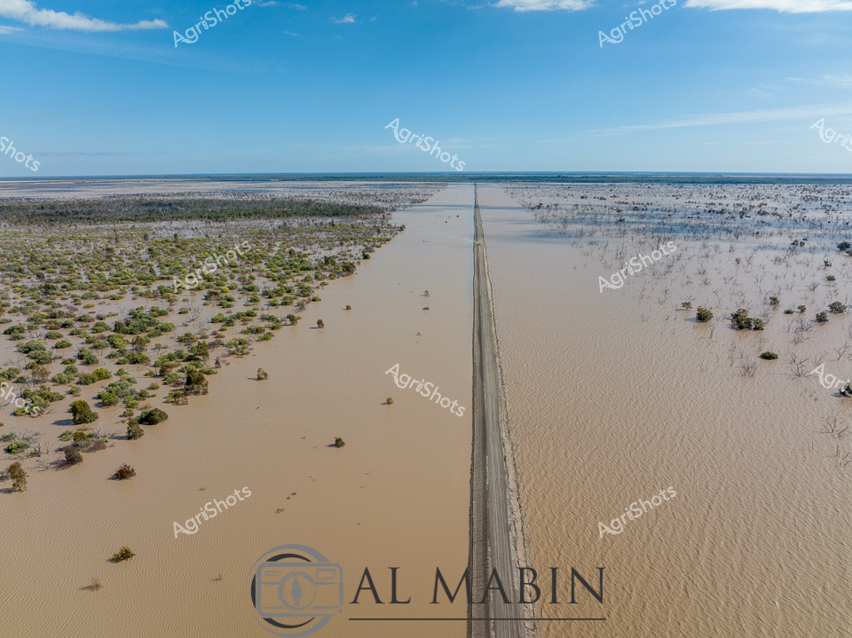
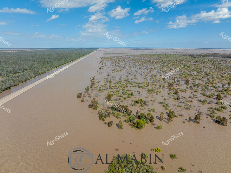
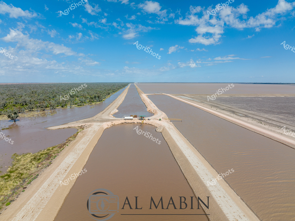
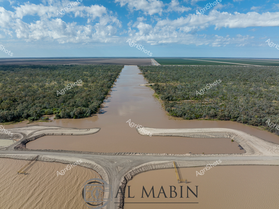
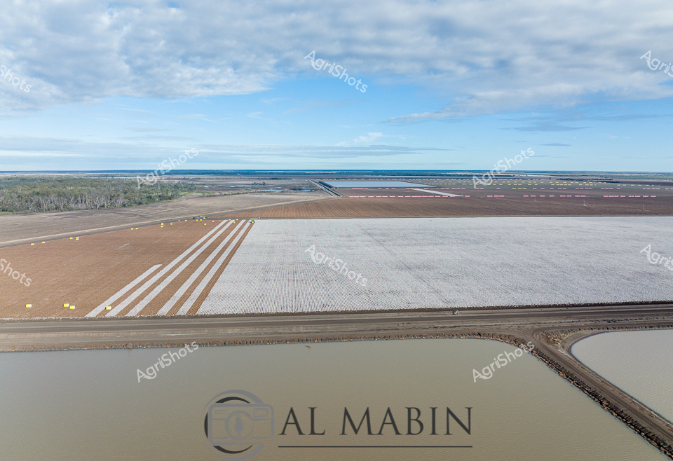
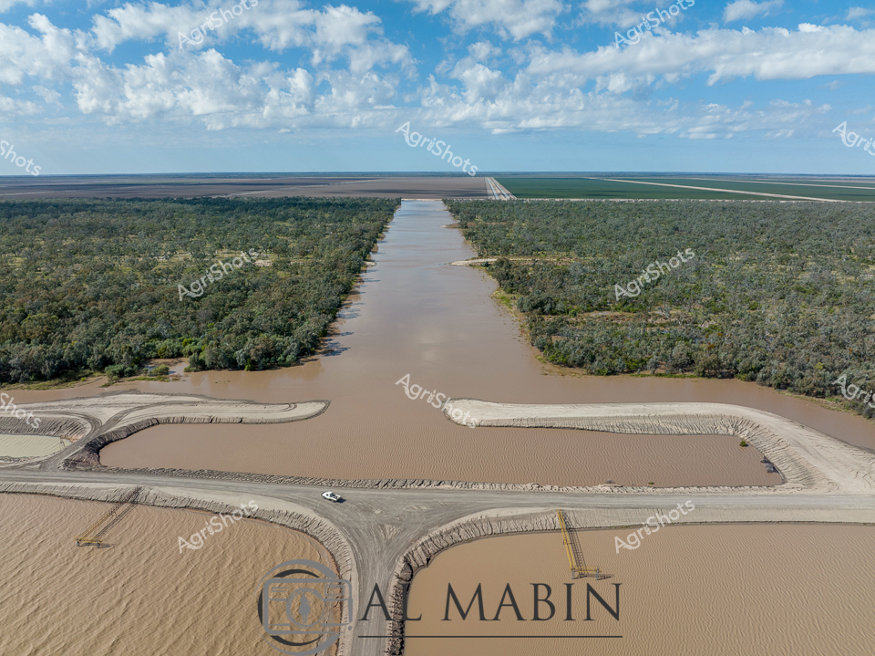
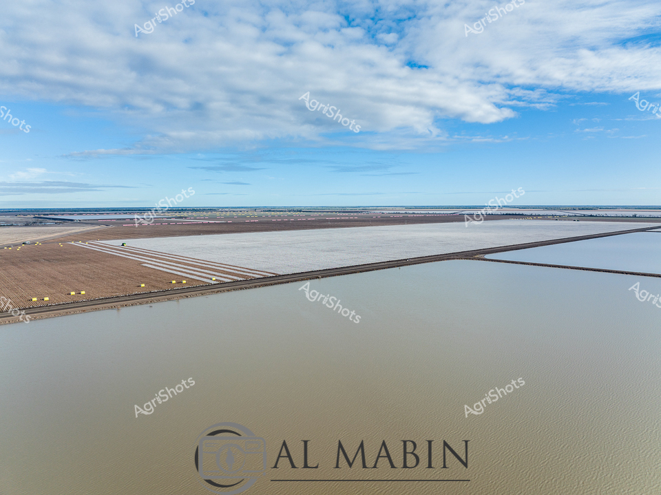
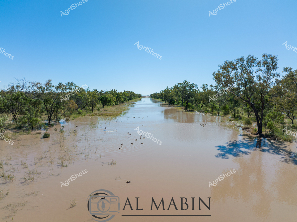
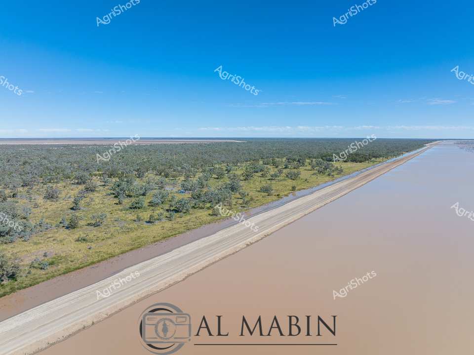
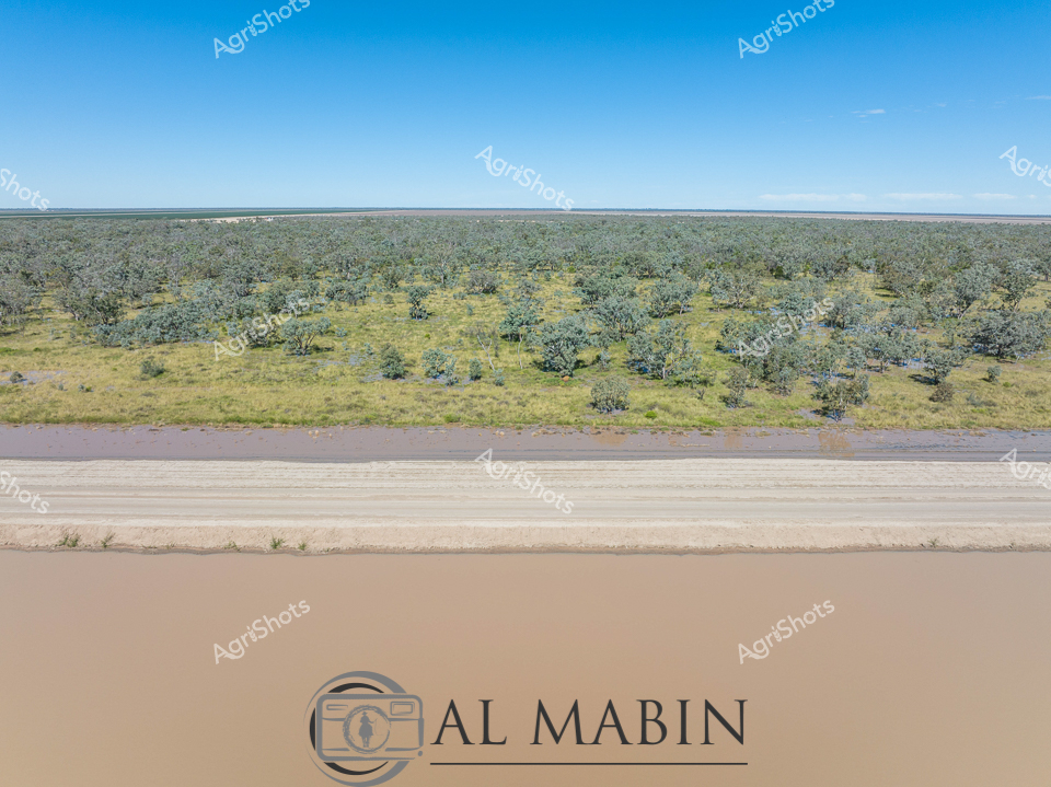
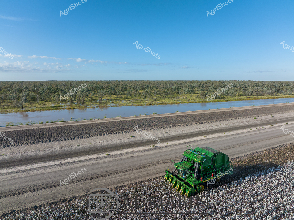
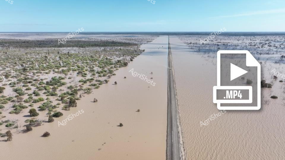
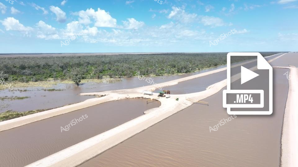
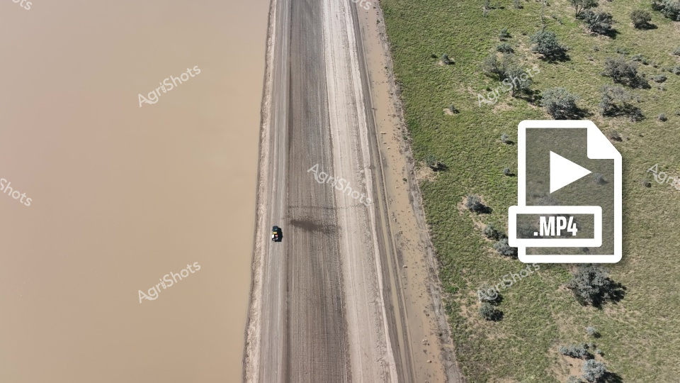
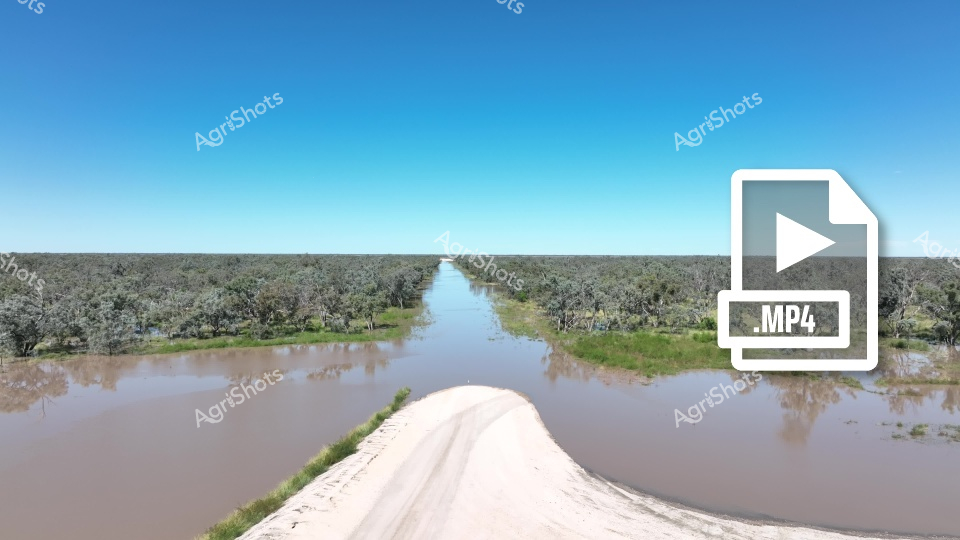
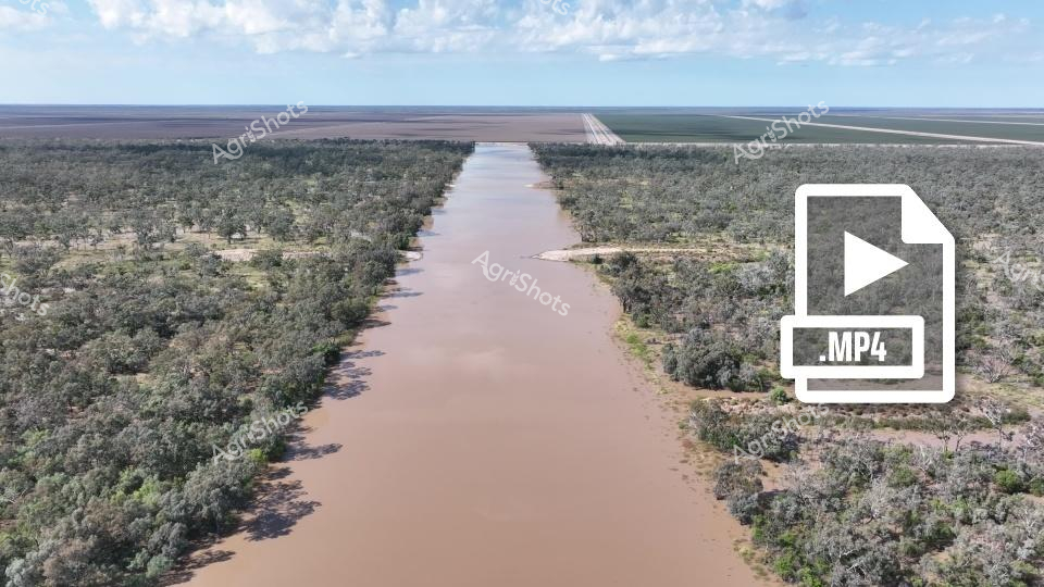
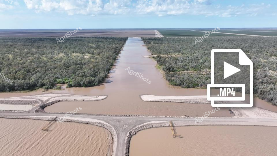
A stark highway bisects a surreal, flooded agricultural landscape, revealing the dramatic impact of water management and environmental challenges in an arid region. The straight road cuts precisely through expansive muddy waters, creating a sharp geometric contrast with the organic, scattered vegetation emerging from the inundated terrain. Sparse shrubs and small trees dot the waterlogged landscape, their muted green and brown tones punctuating the beige and tan water surfaces stretching towards a distant blue horizon. This aerial perspective captures the complex interplay between human infrastructure and natural systems, showcasing how agricultural engineering transforms challenging environments through strategic water distribution and land use. The image powerfully illustrates Queensland's agricultural resilience, where precise infrastructure allows cultivation in seemingly inhospitable conditions. The crisp blue sky and uniform water surfaces create a sense of serene yet profound transformation, highlighting the intricate relationship between human intervention and landscape adaptation.