Related Images & Videos
View All Similar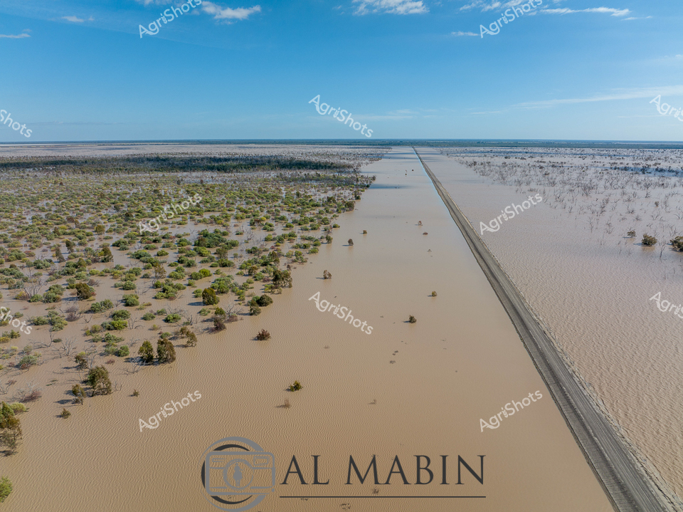

Purchase This Image
Get unlimited downloads with a subscription
View Subscription PlansAbout This Image
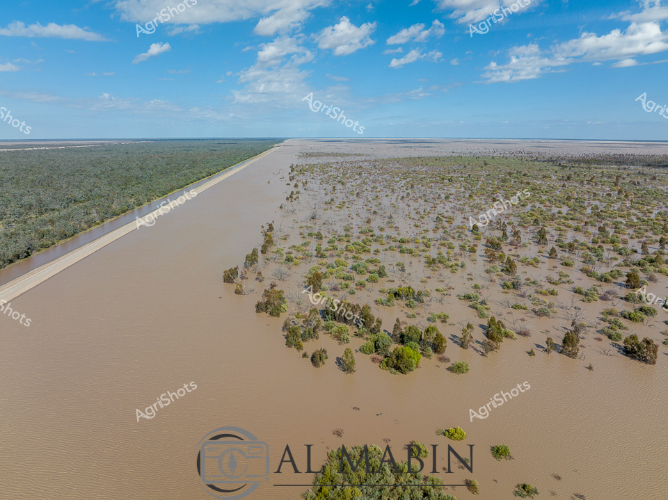
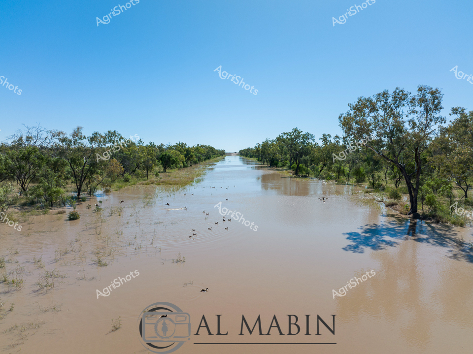
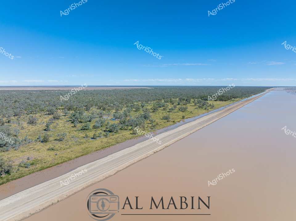
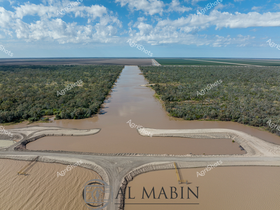
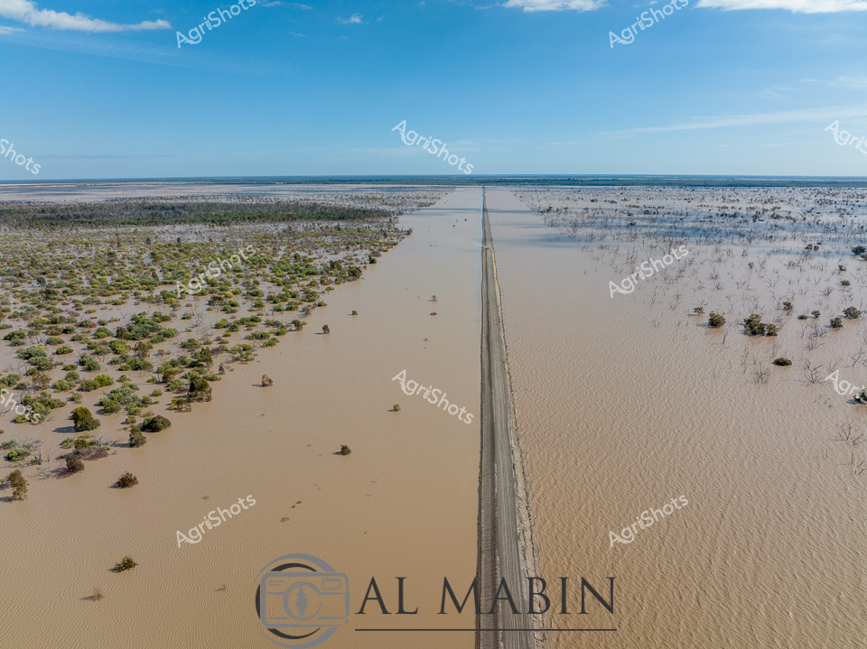
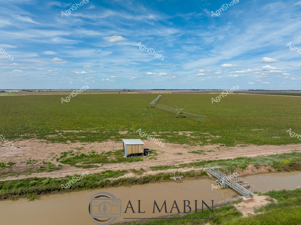
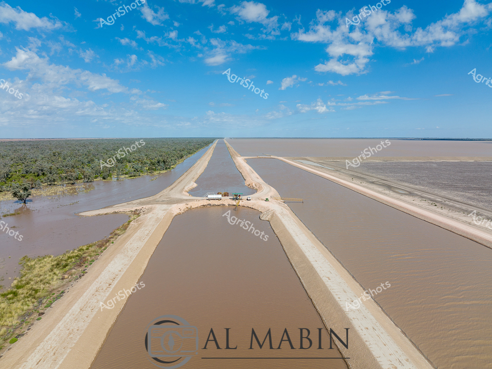
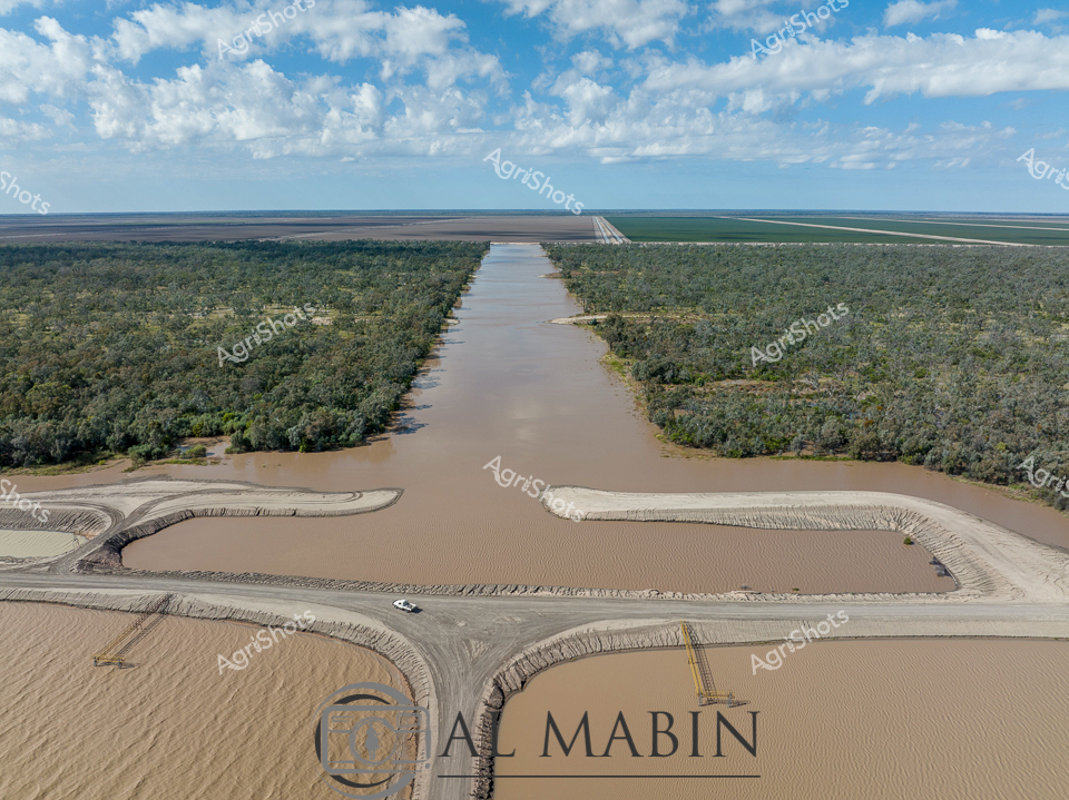
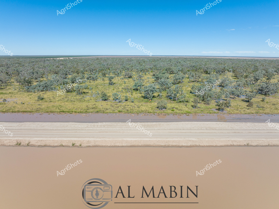
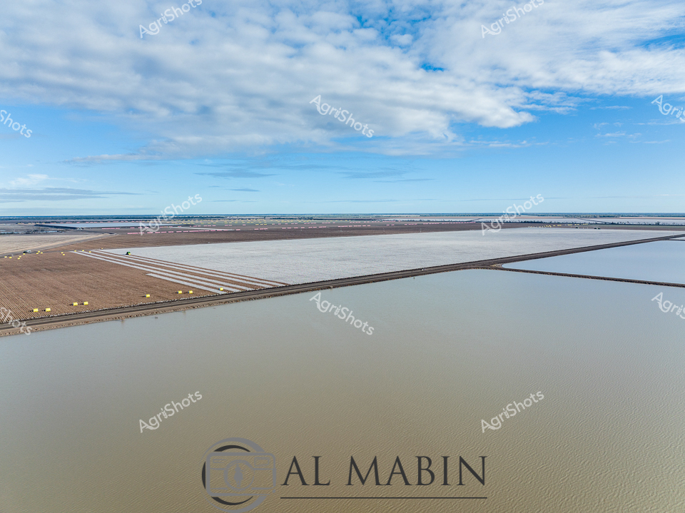
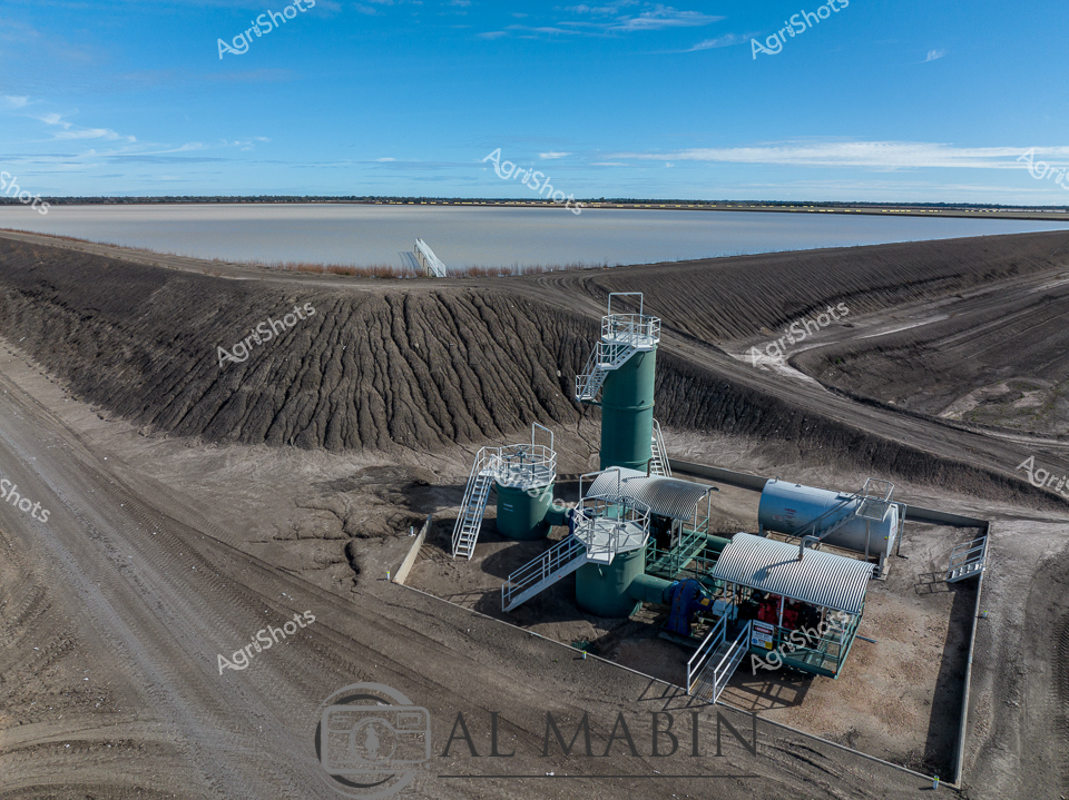
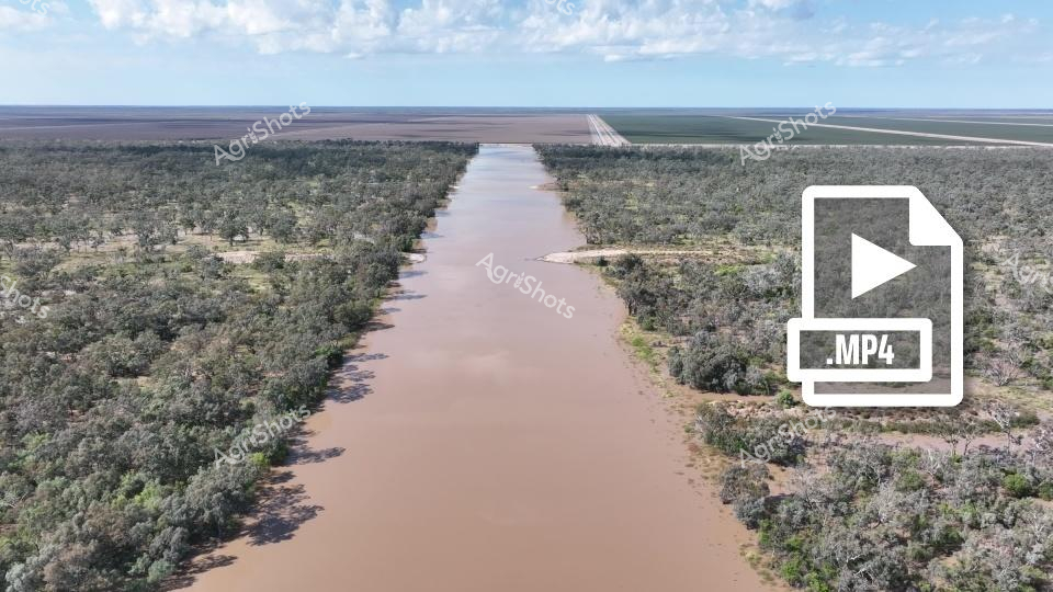
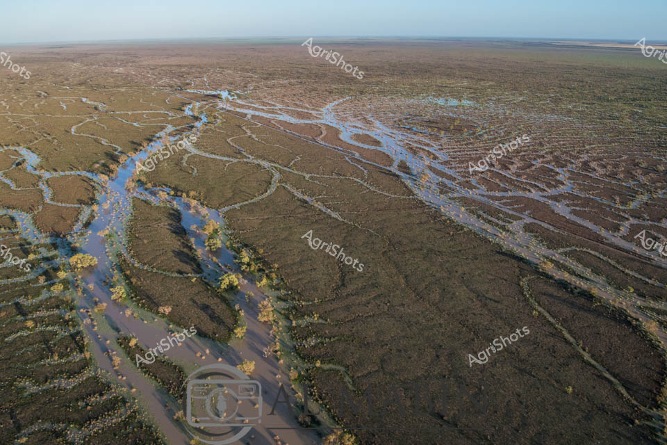
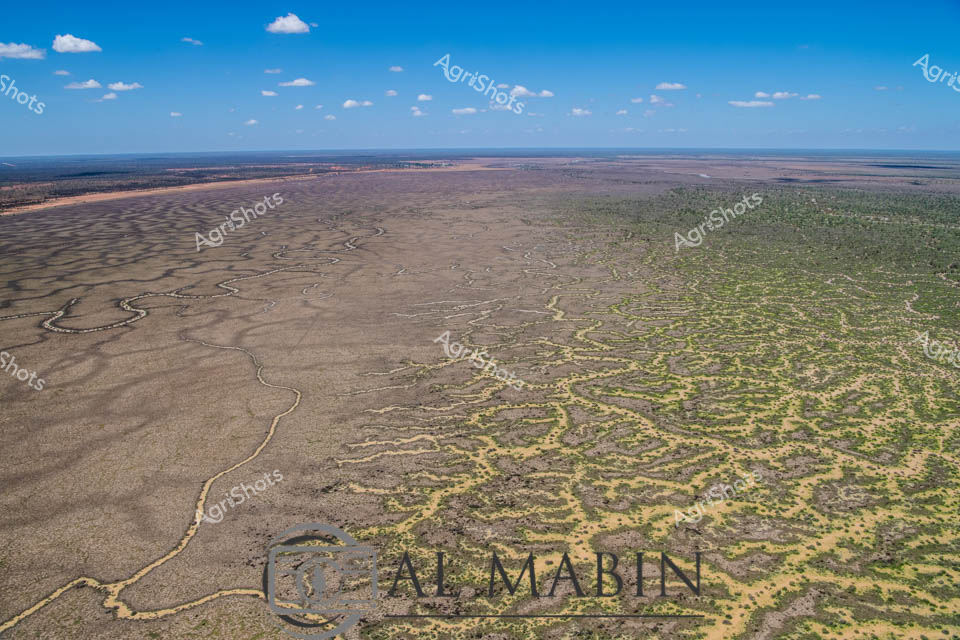
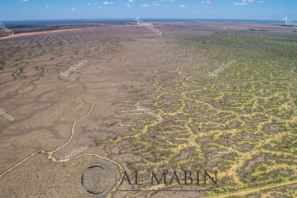
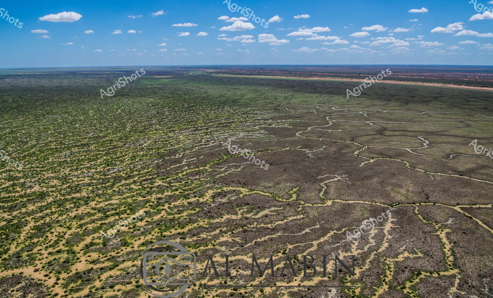
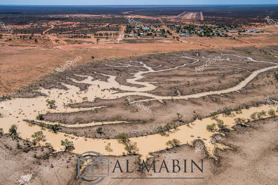
Floodplains of the Balonne: Inundation and Agricultural Resilience A vast inland waterscape stretches across the Queensland landscape, where murky flood waters have transformed the arid terrain into a scattered archipelago of verdant vegetation. The precisely engineered irrigation channel cuts a stark, geometrically perfect line through the organic chaos of the submerged landscape, a testament to human agricultural intervention in a challenging environment. Clusters of green-leafed trees emerge like small islands from the muddy waters, their canopies providing the only vertical relief in this expansive horizontal panorama. The sky above is a brilliant azure, punctuated by soft cumulus clouds that mirror the textural complexity of the flooded terrain below. This aerial perspective reveals the dramatic transformation of agricultural land during flood events, showcasing both the vulnerability and adaptive capacity of Queensland's farming ecosystems. The image captures a moment of natural disruption, where water becomes a powerful sculptural force reshaping the agricultural landscape, presenting both challenge and opportunity for rural communities.