Related Images & Videos
View All Similar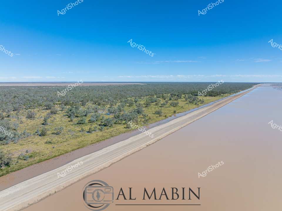

Purchase This Image
Get unlimited downloads with a subscription
View Subscription PlansAbout This Image
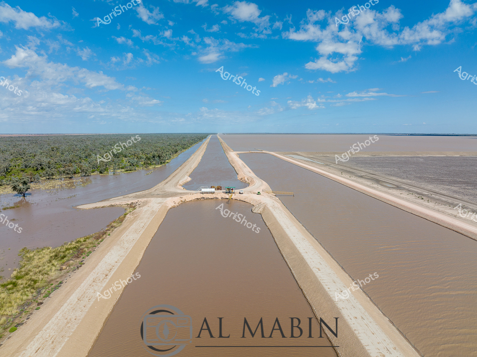
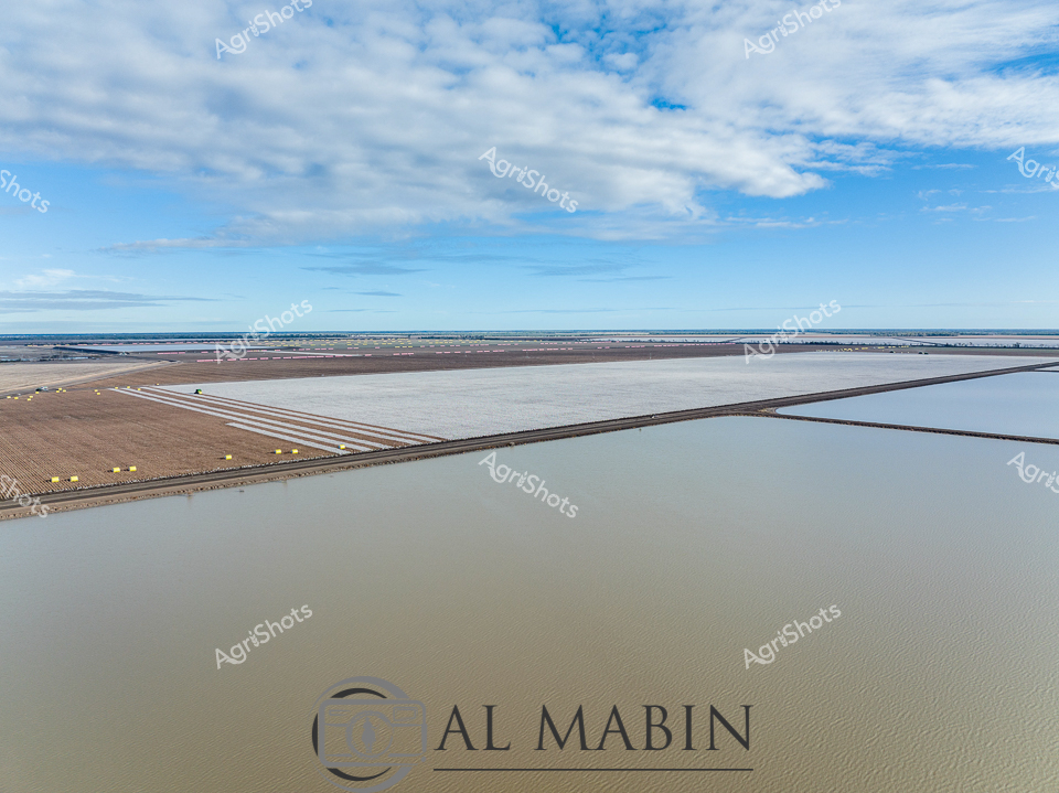
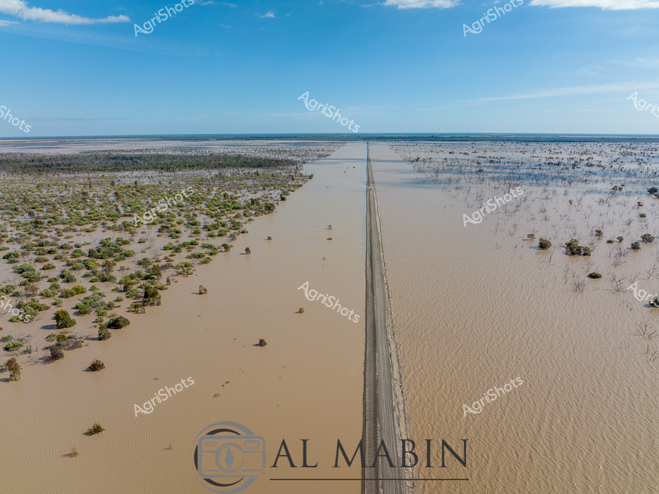
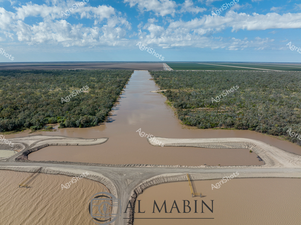
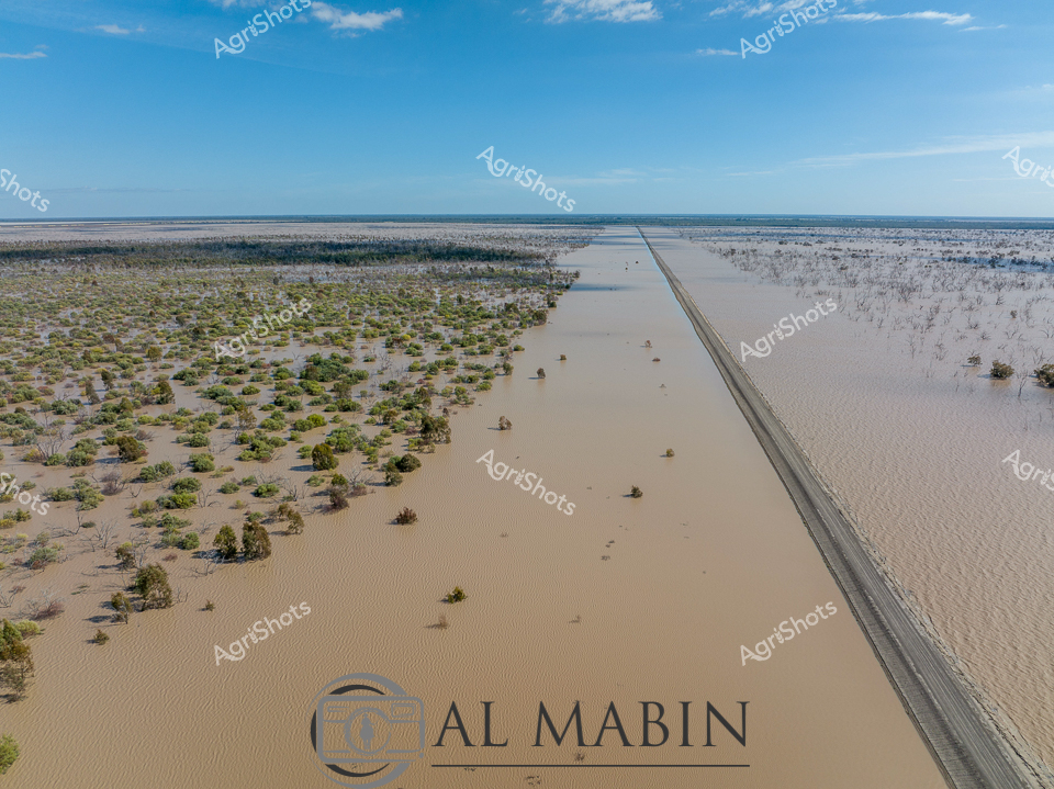
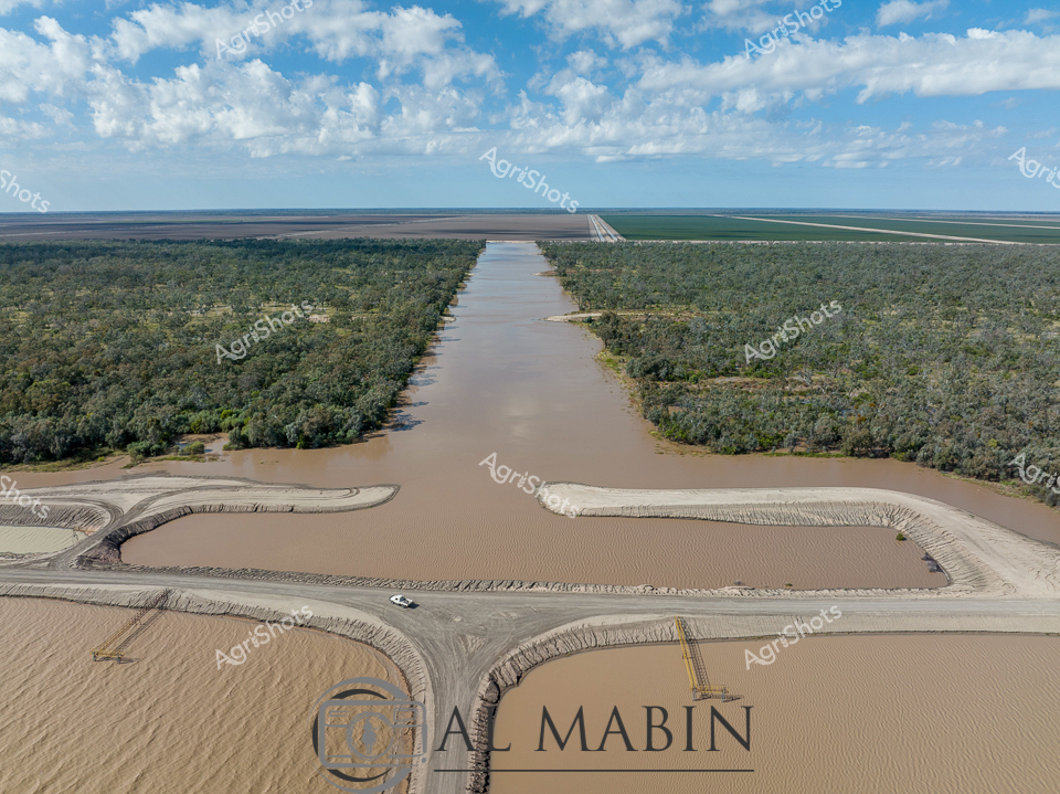
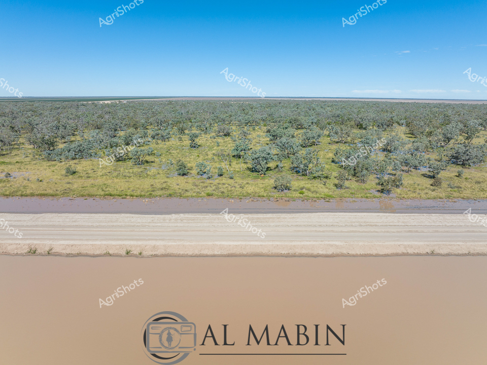
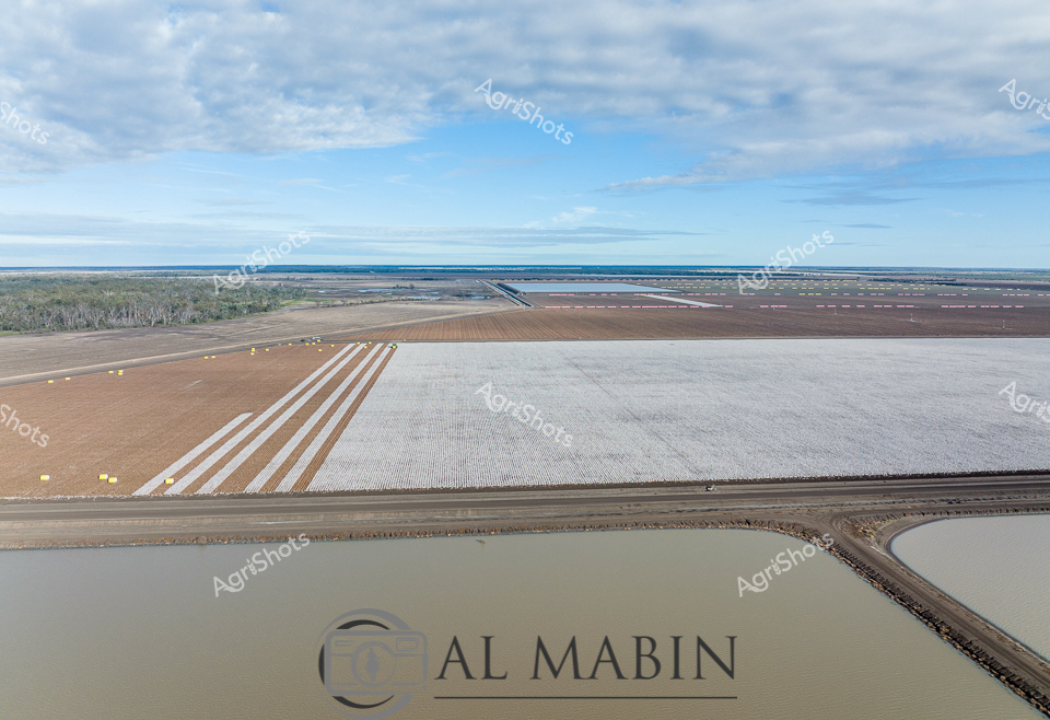
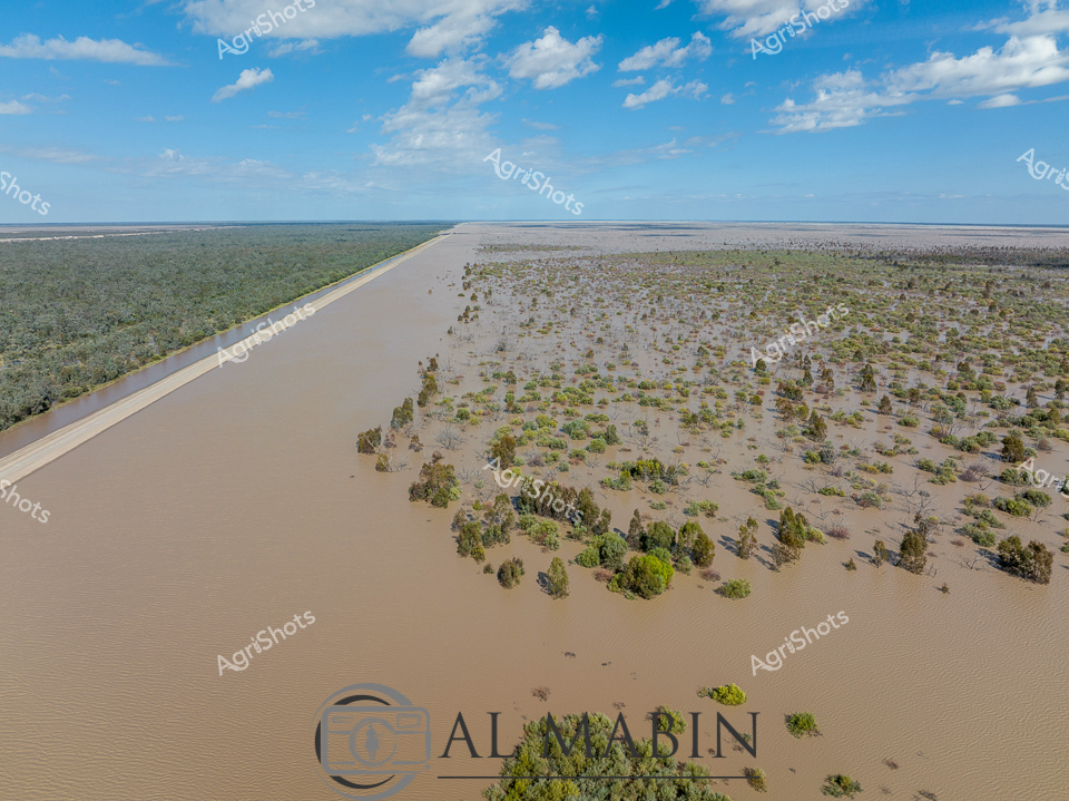
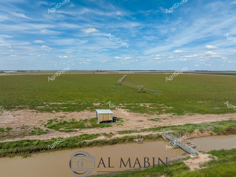
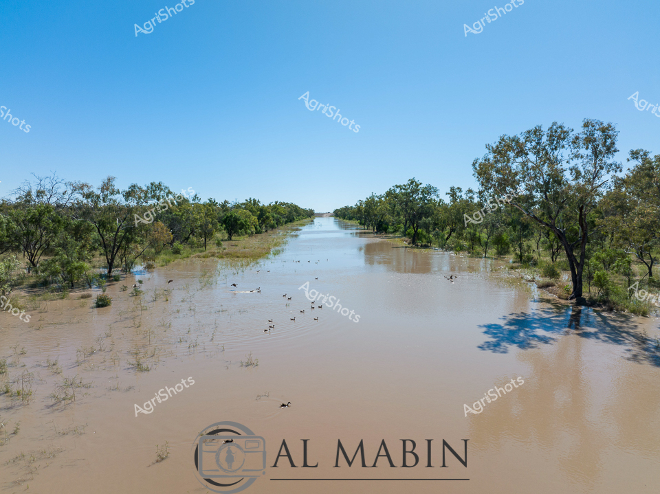
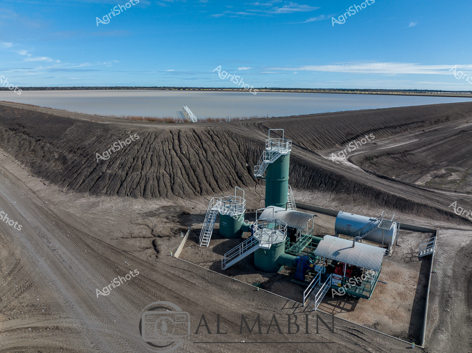
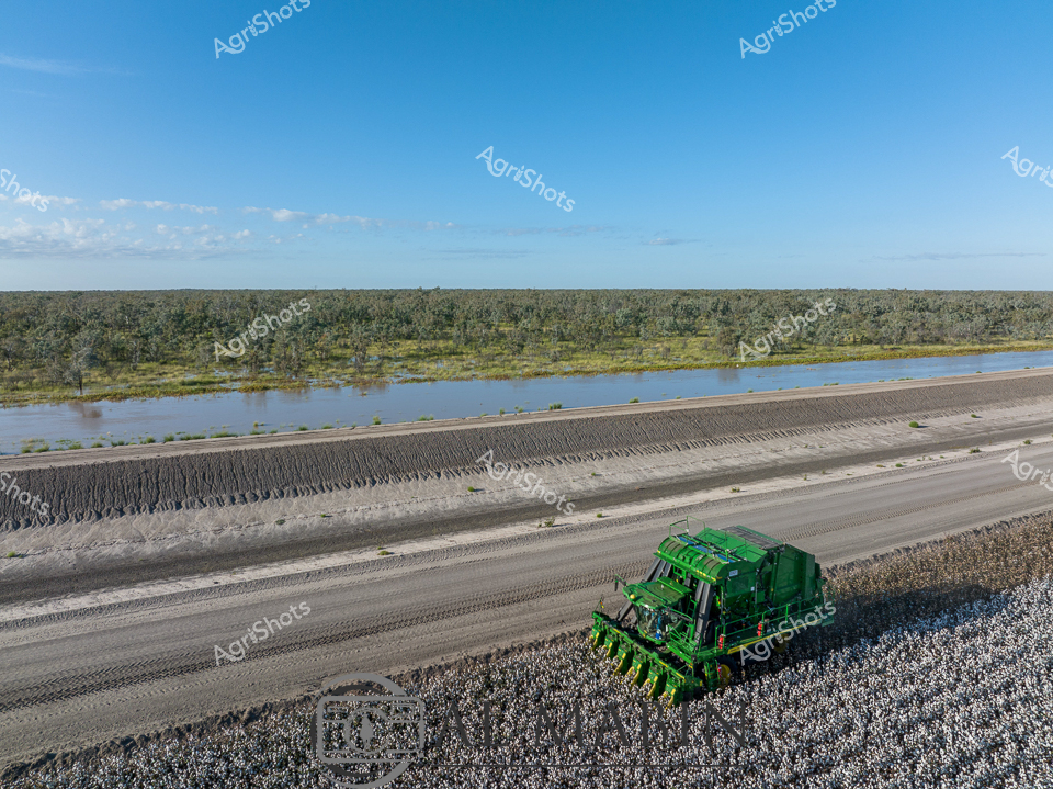
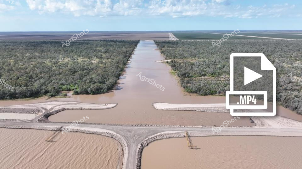
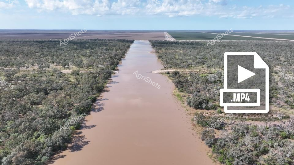
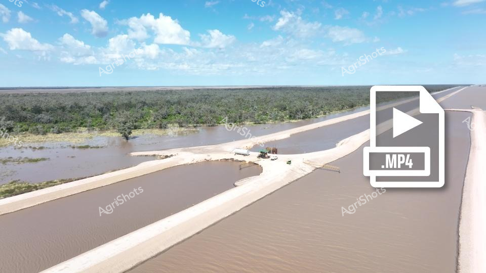
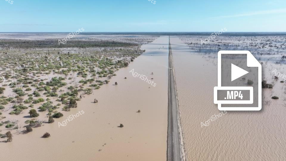
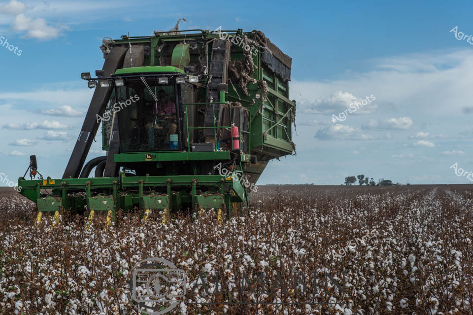
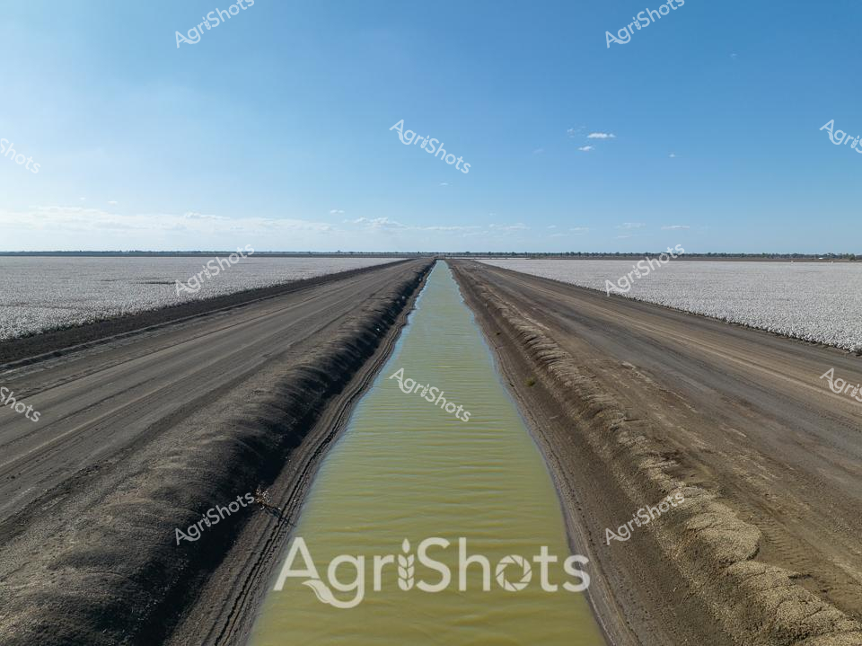
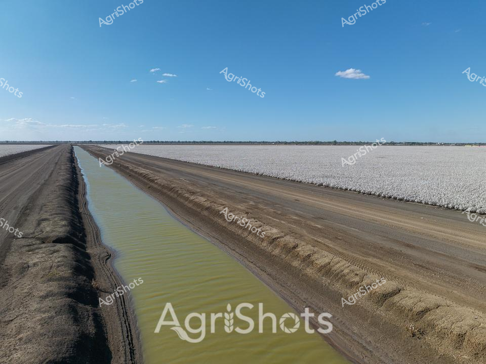
Expansive irrigation channels slice through the arid Queensland landscape, revealing the extraordinary engineering of agricultural water management. A precision-engineered water distribution point intersects multiple channels, creating a geometric landscape of muddy waterways bordered by stark white levees. The scene captures the complex infrastructure required to transform challenging dry terrain into productive agricultural land, with lush green vegetation visible on one side and barren plains on the other. Brilliant blue skies with scattered clouds provide a dramatic backdrop to this testament of human agricultural innovation. The waterways, likely part of a cotton irrigation system, demonstrate the sophisticated water allocation techniques used in the Balonne Shire region to support critical crop production. The Al Mabin watermark suggests this is a professional agricultural documentation, highlighting the technical and strategic approaches to farming in Australia's demanding environmental conditions.