Related Images & Videos
View All Similar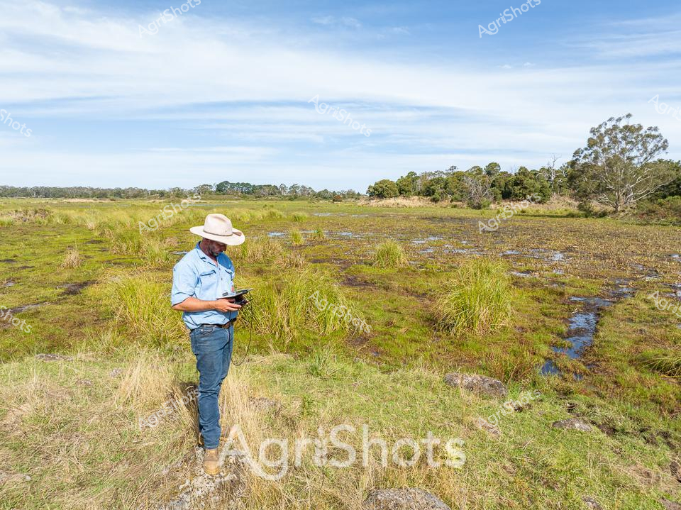

Purchase This Image
Get unlimited downloads with a subscription
View Subscription PlansAbout This Image
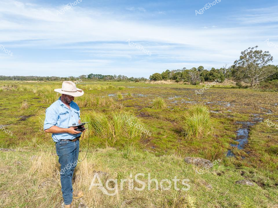
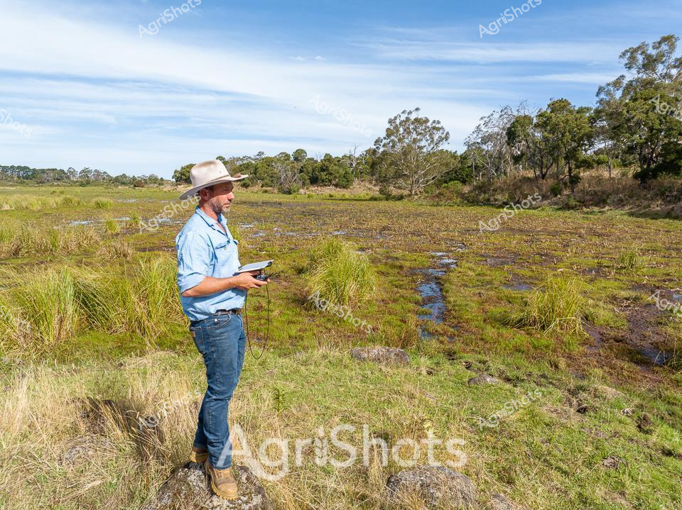
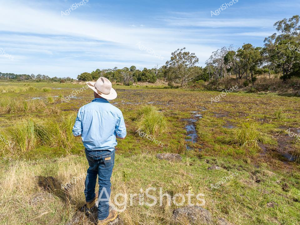
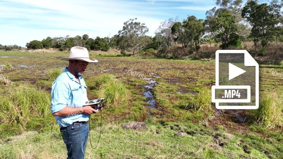
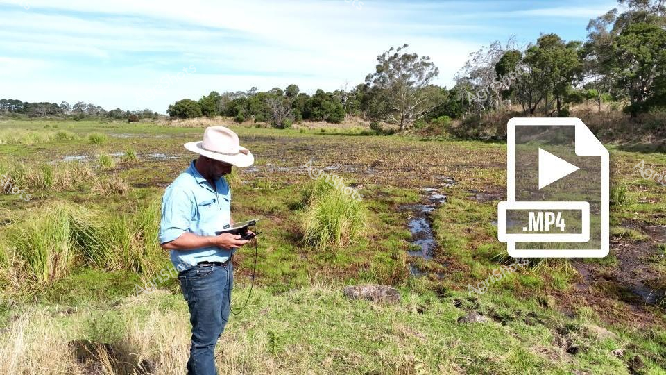
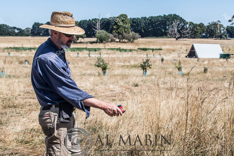
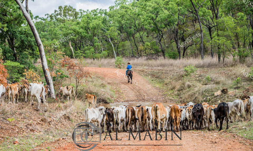
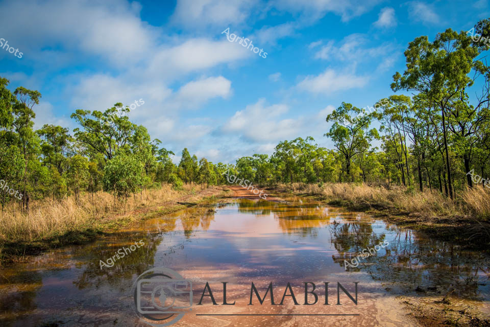
Beneath an expansive blue Australian sky, an agricultural professional surveys a wetland pasture in rural Victoria. Wearing a classic wide-brimmed sun hat, light blue work shirt, and denim jeans, the researcher stands amidst lush green grasses and water-logged terrain, intently focused on a handheld drone control device. Thin streams of water meander through clumps of native grasses, creating a mosaic of green and blue textures across the marshy landscape. Distant tree lines and eucalyptus punctuate the horizon, suggesting this is likely a cattle grazing region used for Angus beef production. The scene captures the intersection of modern agricultural technology and traditional landscape management, with the drone potentially being used for land surveying, cattle monitoring, or environmental assessment. Soft cloud formations and gentle lighting indicate an early morning or late afternoon moment, typical of the contemplative work of agricultural researchers and land managers in the Australian countryside.