Related Images & Videos
View All Similar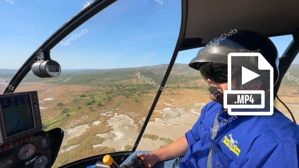


Purchase This Video
Get unlimited downloads with a subscription
View Subscription PlansAbout This Video
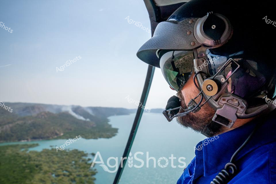
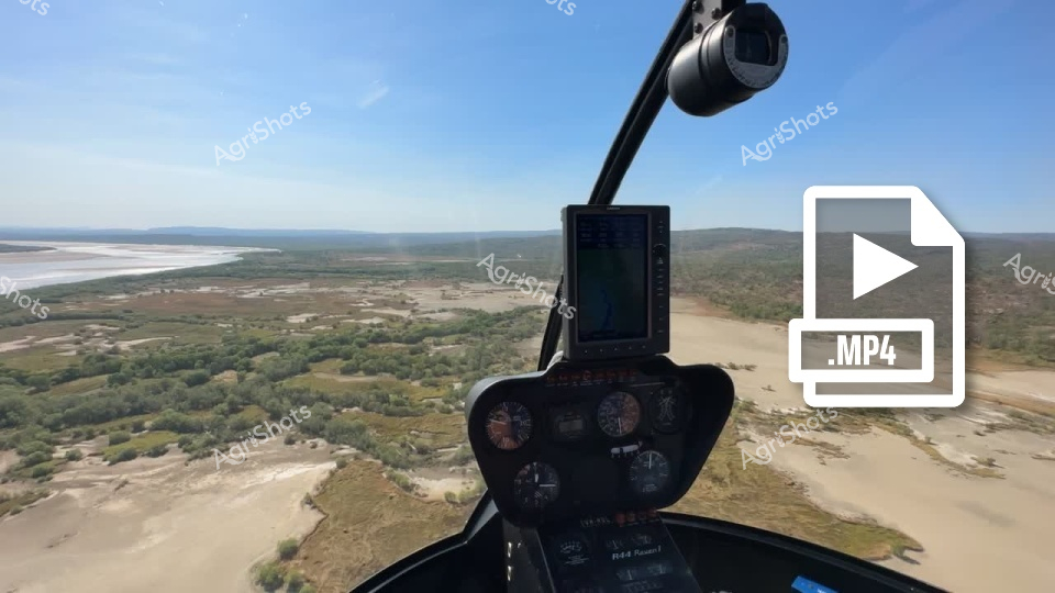
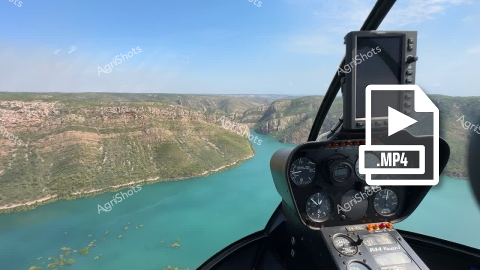
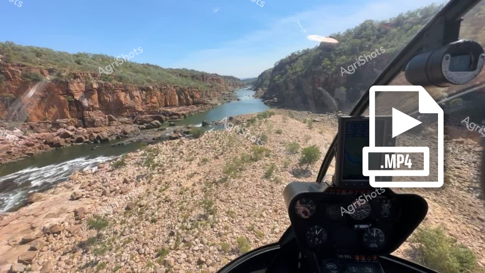
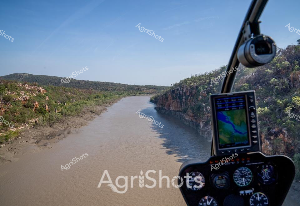
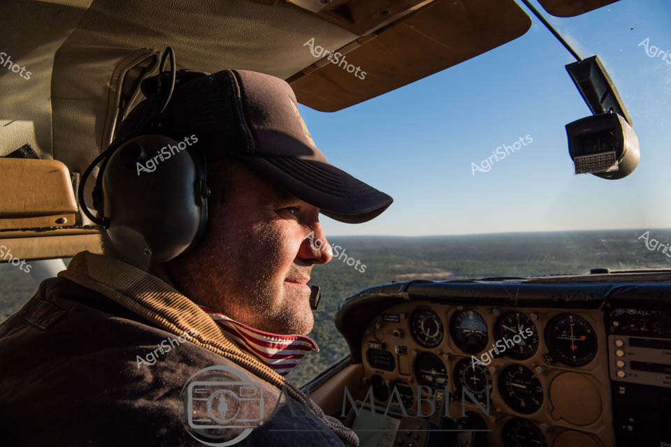
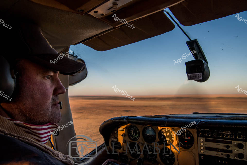
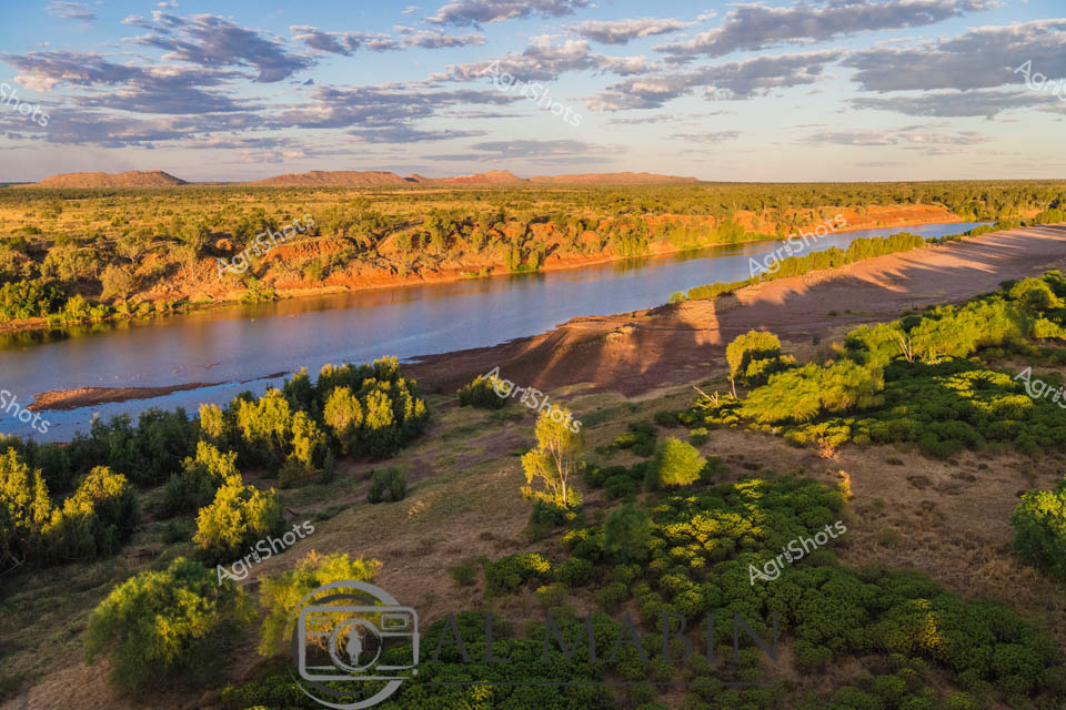
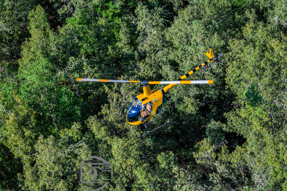
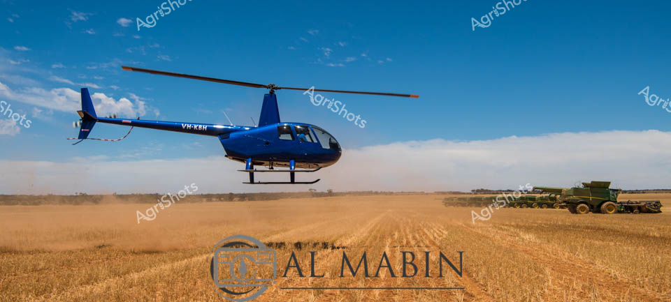
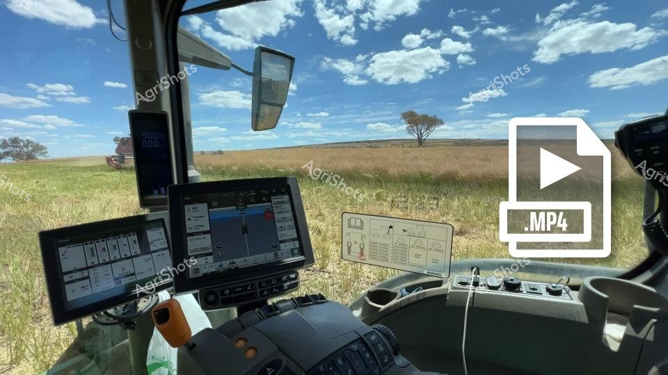
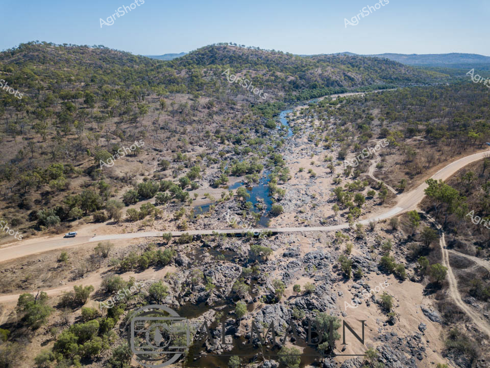
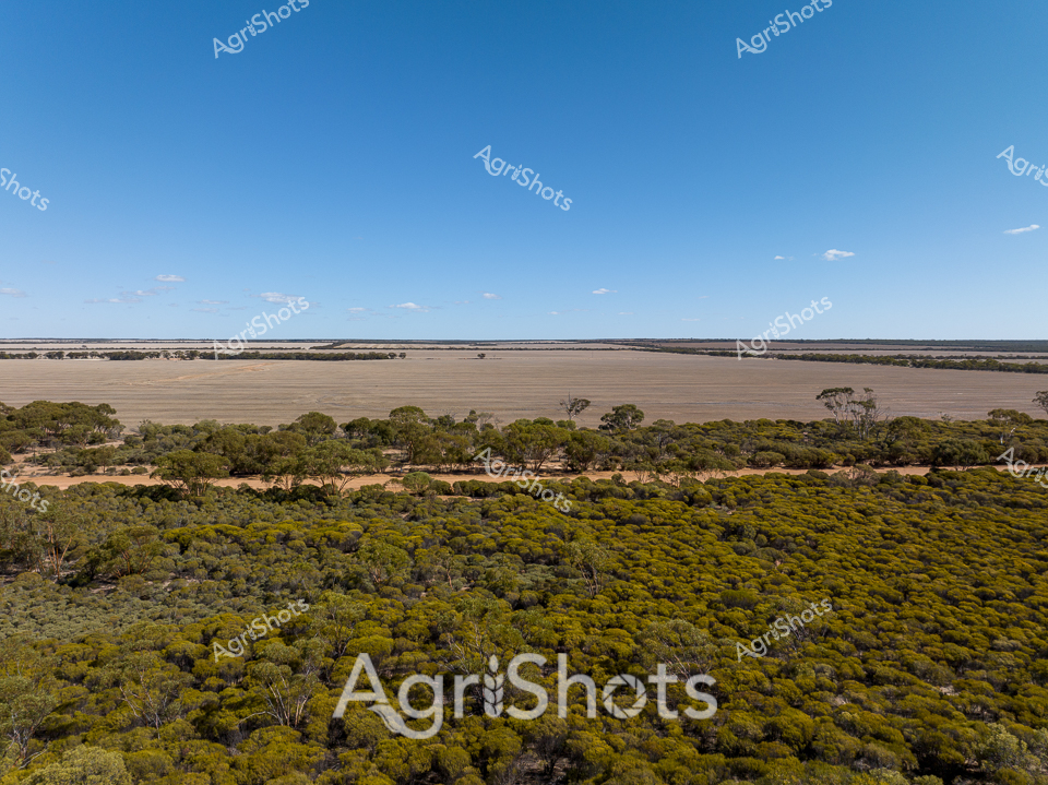
Aerial Survey of the Kimberley Landscape Golden morning light sweeps across the expansive Western Australian pastoral terrain, revealing a meandering river system cutting through ochre plains and verdant green paddocks. From the cockpit of a professional survey helicopter, an experienced pilot navigates the aircraft with precision, tracking the sinuous waterway and surveying the remote station landscape. Instrument panels display critical navigation data while the pilot's hand rests confidently on the cyclic control, wearing a blue technical flight suit and protective headset. The wide curved windscreen frames a breathtaking panorama of undulating topography - a patchwork of agricultural and natural landscapes stretching toward a distant horizon. Sophisticated avionics and mapping technology enable detailed aerial reconnaissance of this rugged agricultural region, capturing the intricate relationships between water resources, terrain, and land management in one of Australia's most challenging agricultural frontiers.