Related Images & Videos
View All Similar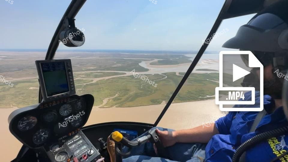


Purchase This Video
Get unlimited downloads with a subscription
View Subscription PlansAbout This Video
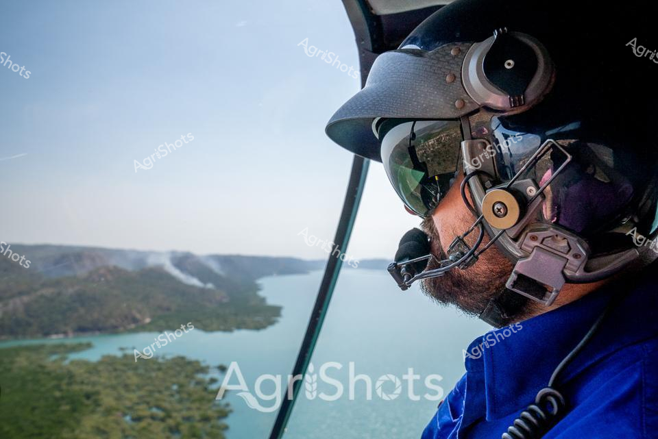
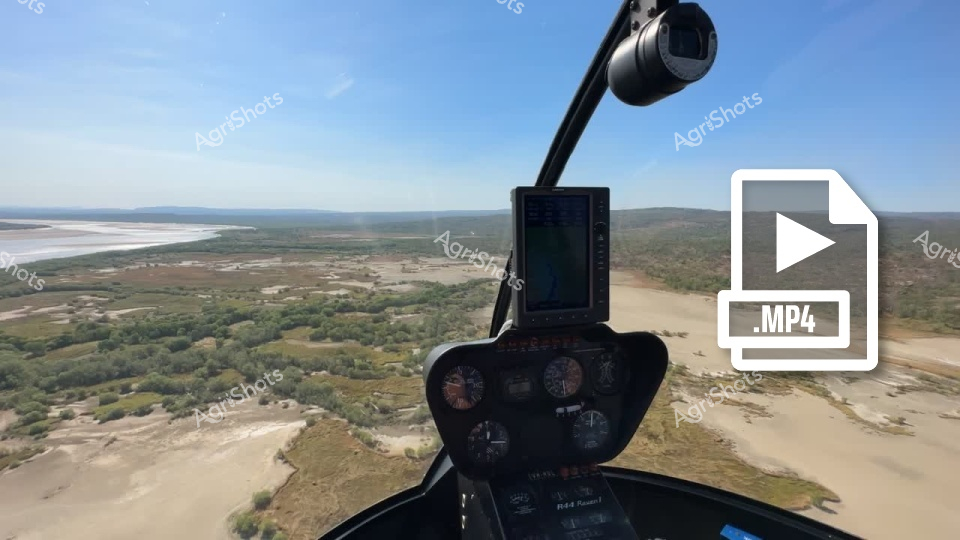
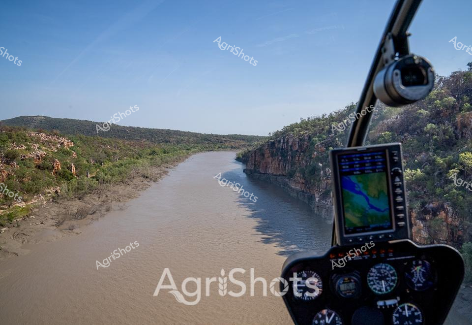
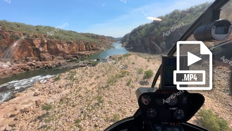
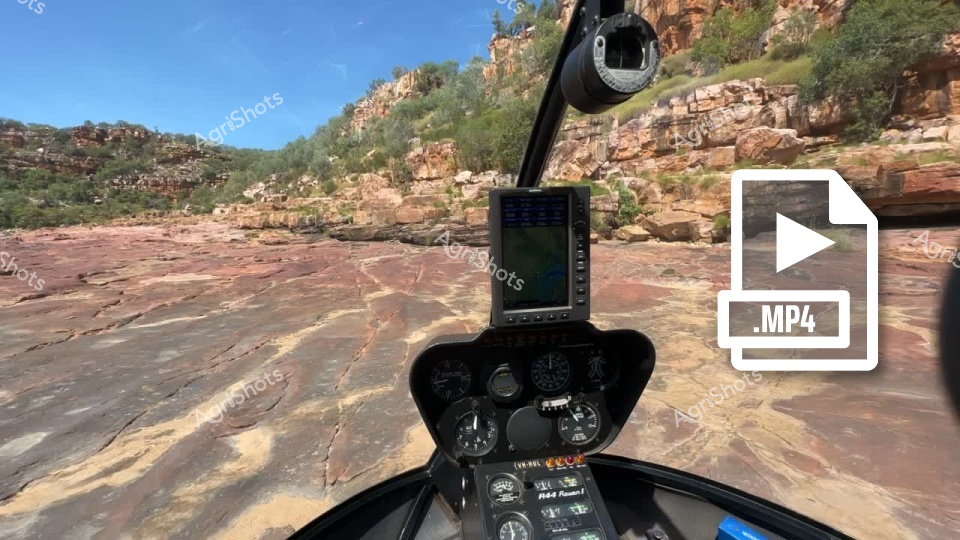
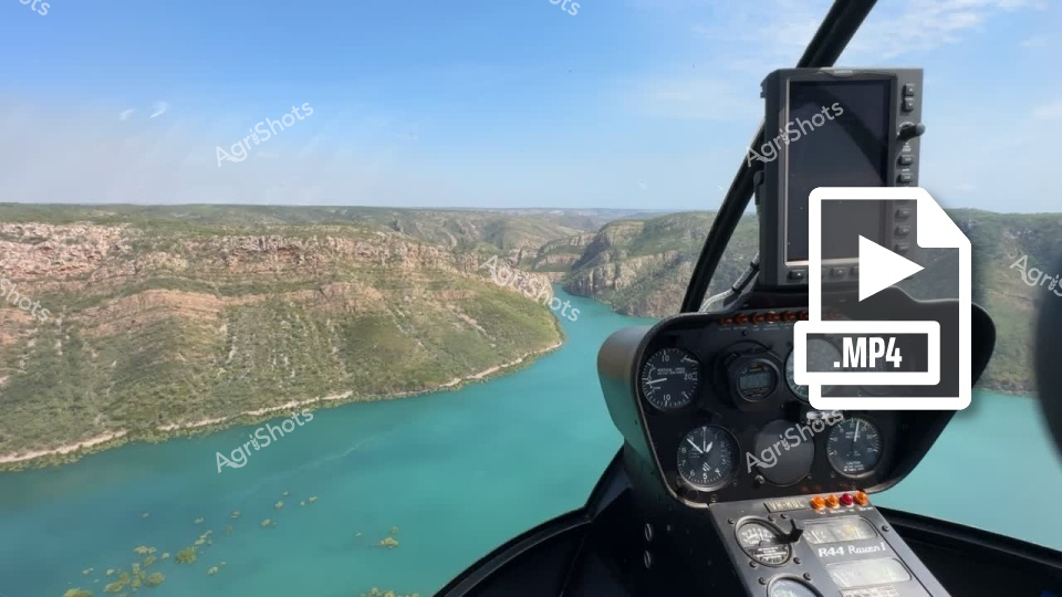
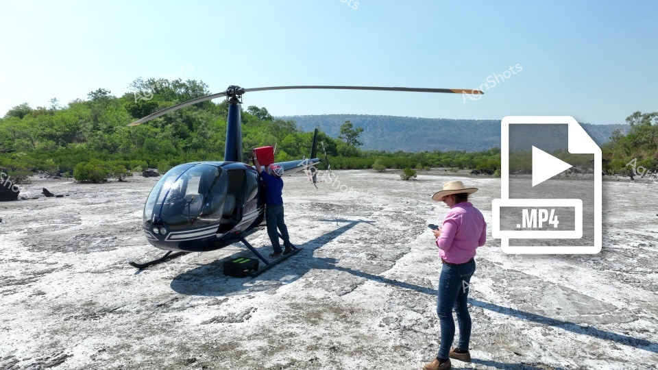
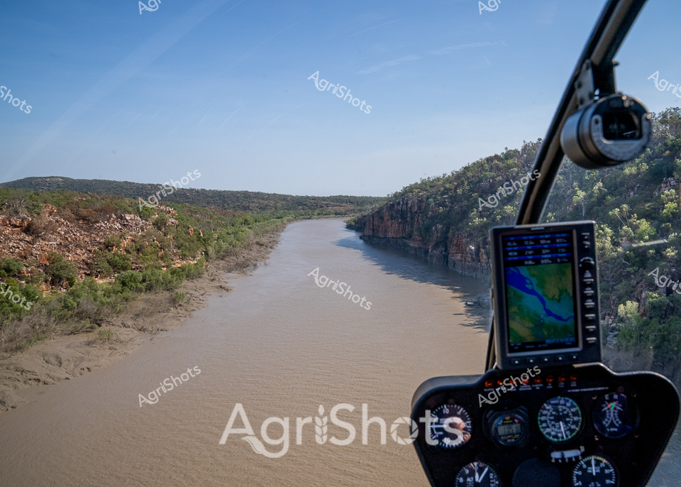
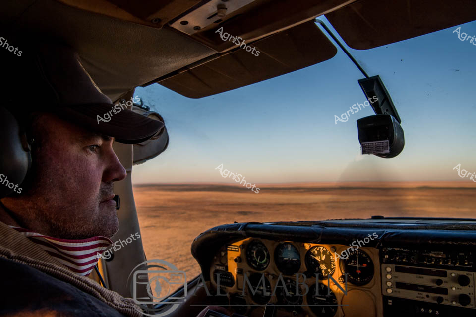
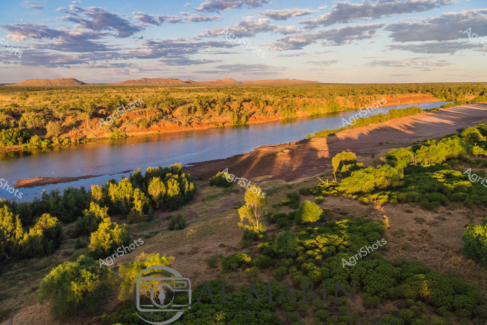
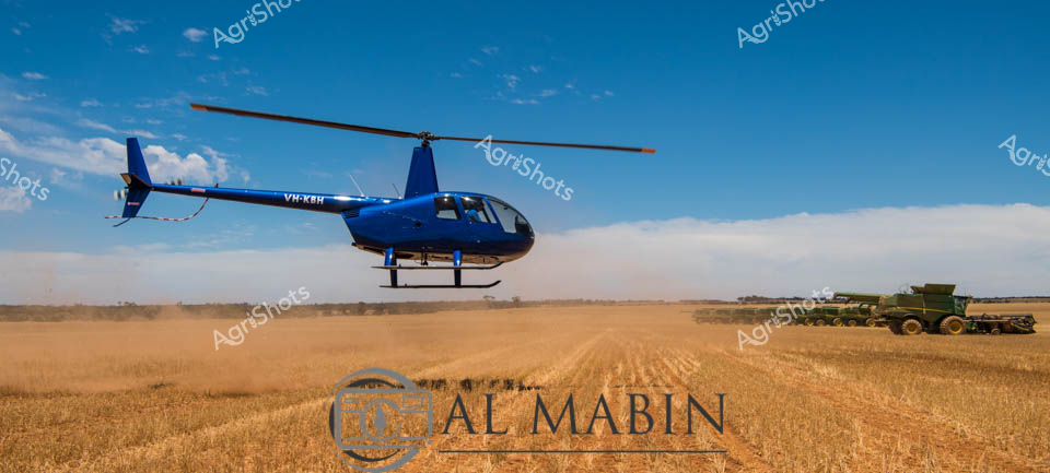
Aerial agricultural survey across the rugged Western Australian landscape, captured from the cockpit of a precision helicopter. A pilot in a vivid blue uniform and protective silver helmet navigates over a sprawling pastoral terrain, revealing the intricate topography of rocky outcrops, sparse woodland, and meandering waterways. The expansive golden-brown terrain stretches beneath the aircraft, punctuated by isolated vegetation clusters and geological formations that speak to the harsh yet beautiful inland regions. Advanced onboard camera technology and navigation instruments suggest a sophisticated approach to modern agricultural monitoring and land management. The crisp blue sky and clear visibility indicate an ideal surveying day, where every contour of the landscape can be meticulously examined from this aerial perspective. This image encapsulates the critical role of aerial reconnaissance in understanding and managing vast agricultural territories in Western Australia's challenging environments.