Related Images & Videos
View All Similar


Purchase This Image
Get unlimited downloads with a subscription
View Subscription PlansAbout This Image
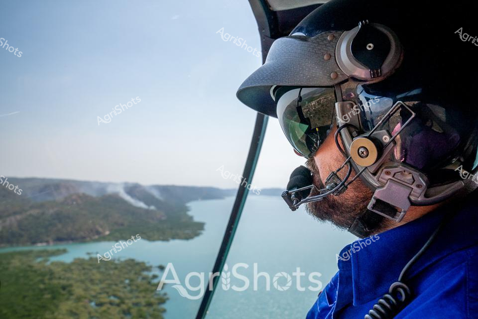
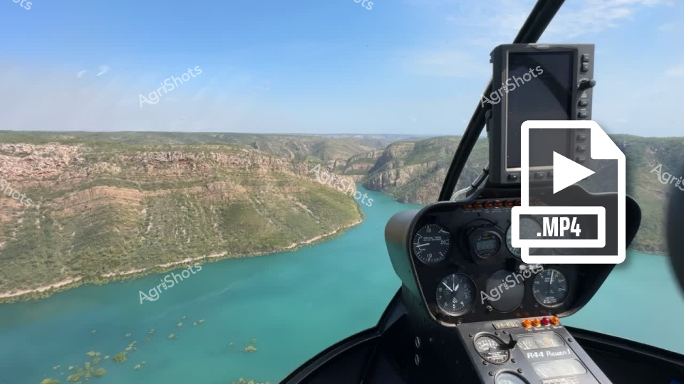
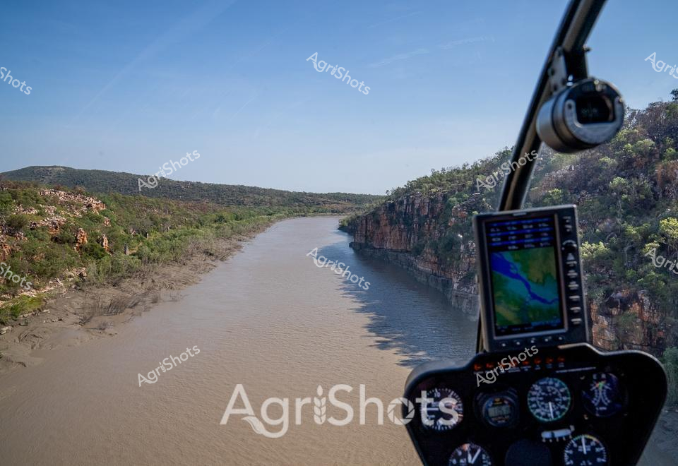
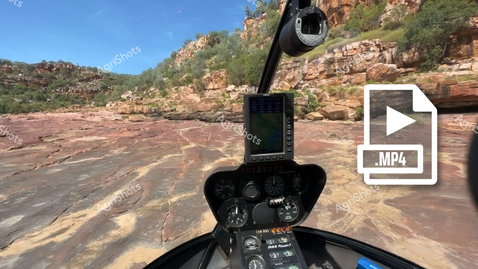
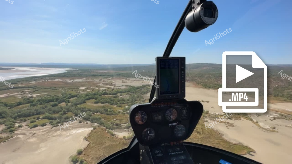
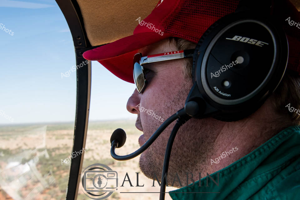
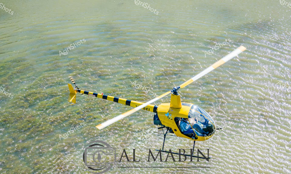
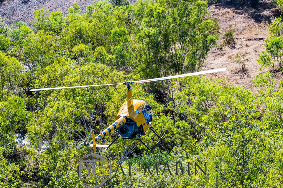
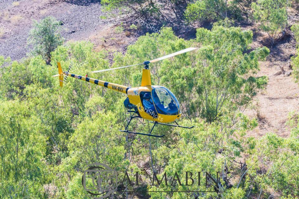
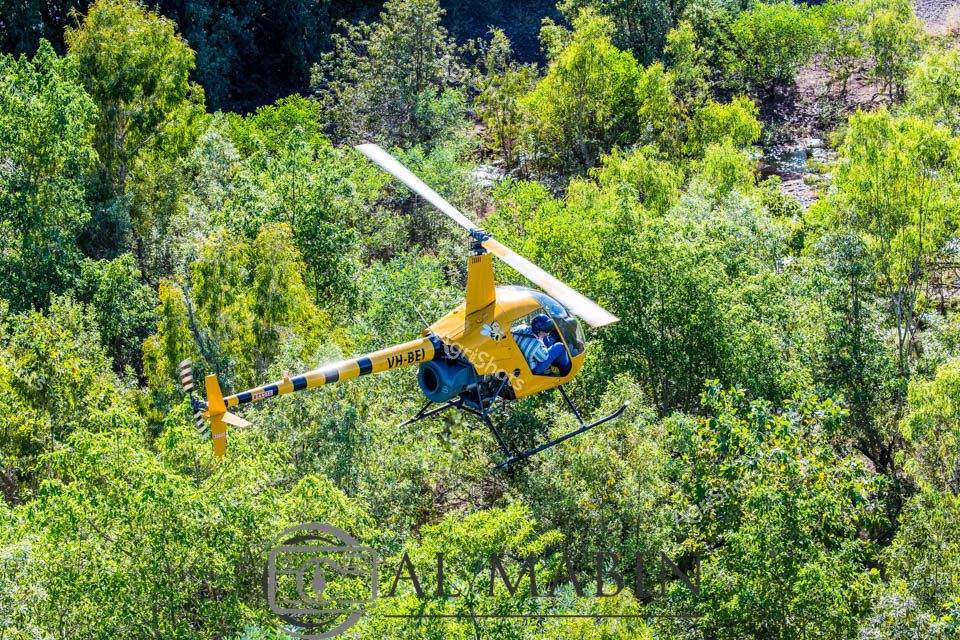
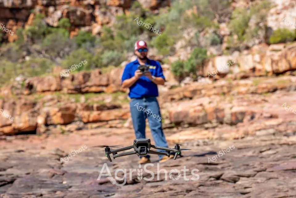
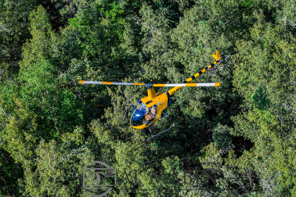
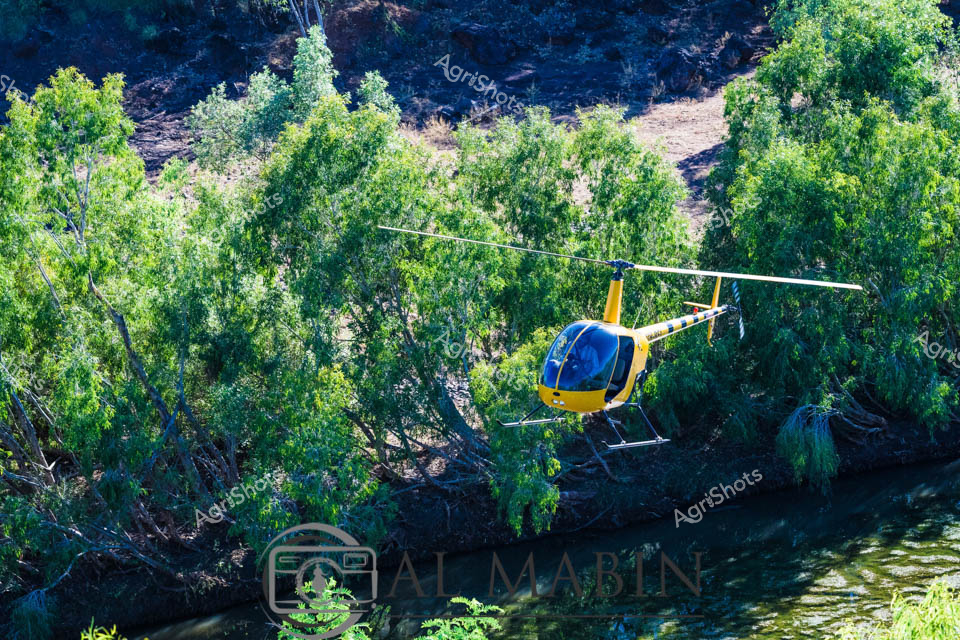
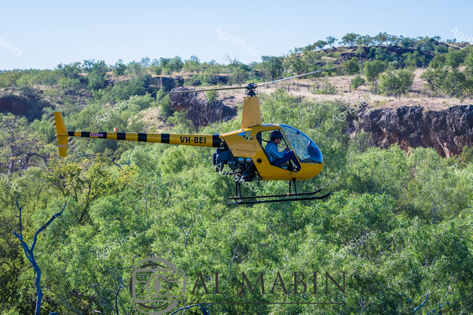
Aerial Reconnaissance over Kimberley Waterways A seasoned helicopter pilot surveys the vast inland waterways of Western Australia's Kimberley region, his weathered profile framed by high-tech navigation equipment and a robust blue flight suit. Intricate communication headsets and a specialized aviation helmet frame his bearded face as he navigates the aircraft above a stunning landscape of serpentine rivers and verdant flood plains. The expansive turquoise water below reflects the cloudless golden horizon, revealing the complex geographical tapestry of this remote agricultural frontier. His professional gaze tracks the meandering waterways, likely assessing land conditions, potential pastoral routes, or monitoring cattle station boundaries - a critical role in managing these immense agricultural territories. The close-up perspective captures the intense concentration of a pilot who knows these landscapes intimately, representing the sophisticated technological infrastructure that supports modern Australian agricultural operations. This image epitomizes the intersection of human expertise, advanced technology, and the raw, untamed beauty of Western Australia's agricultural heartland.