
Related Images & Videos
View All Similar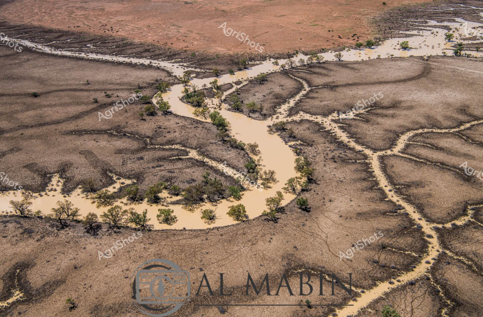


Purchase This Image
Get unlimited downloads with a subscription
View Subscription PlansAbout This Image
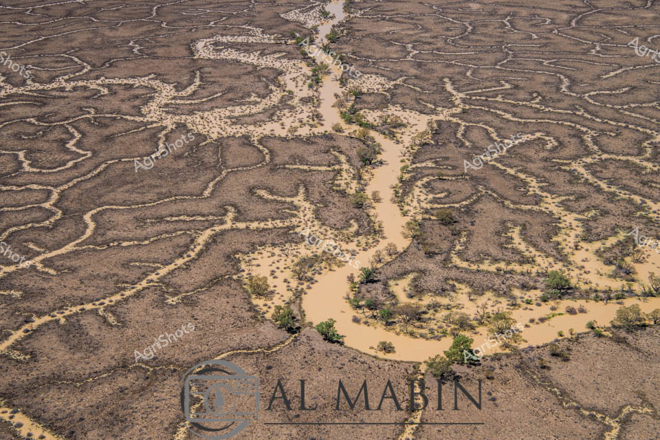
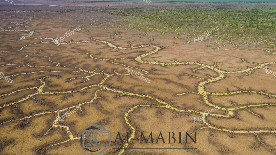
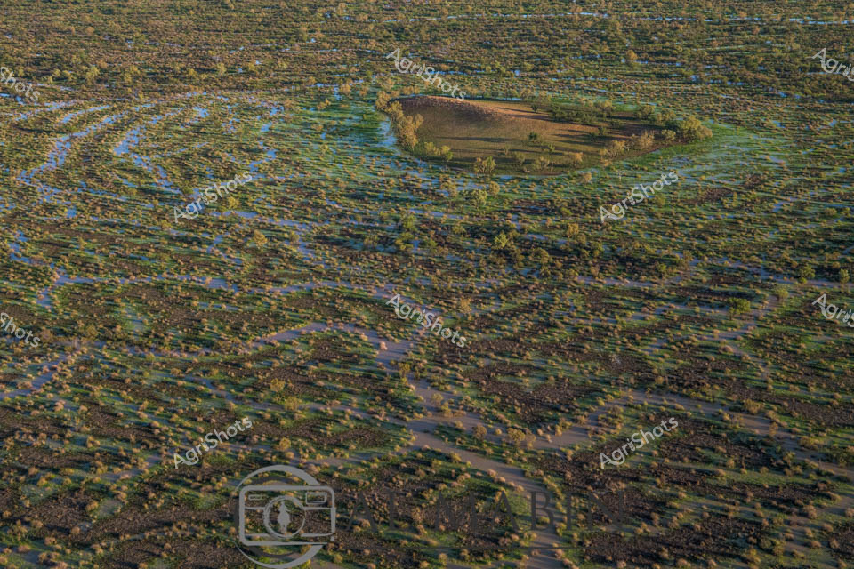
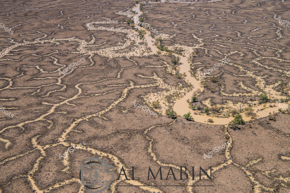
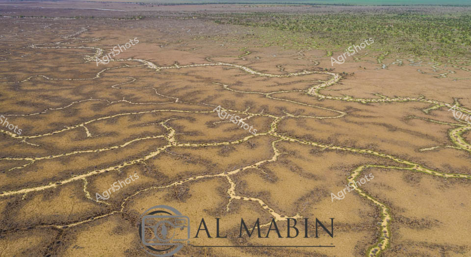
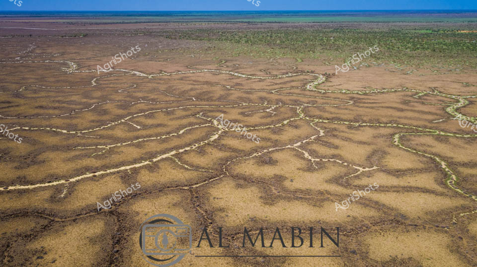
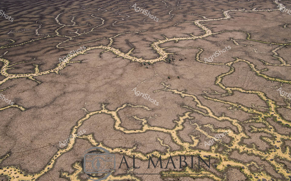
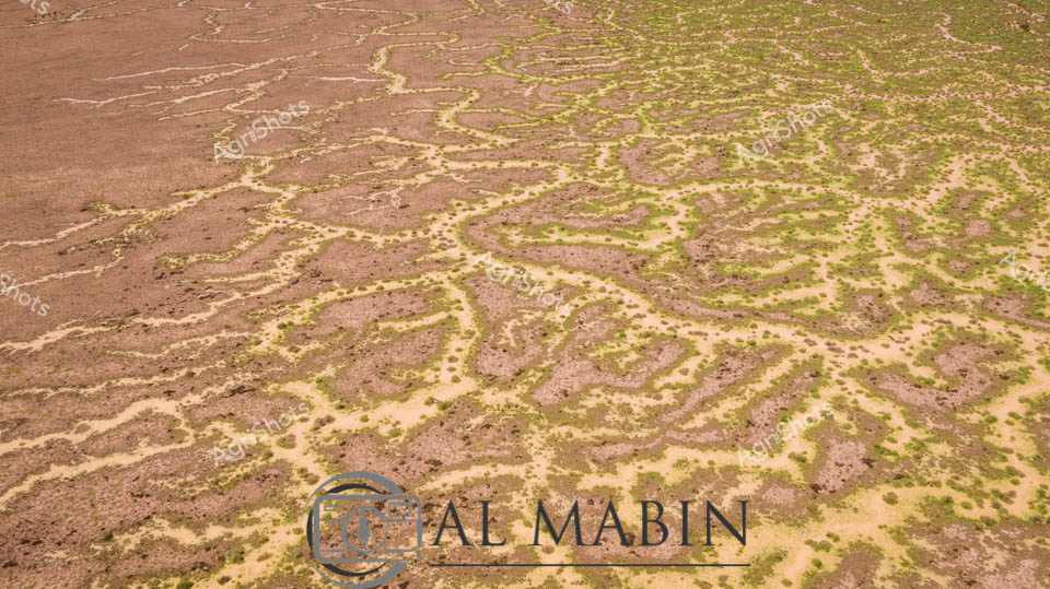
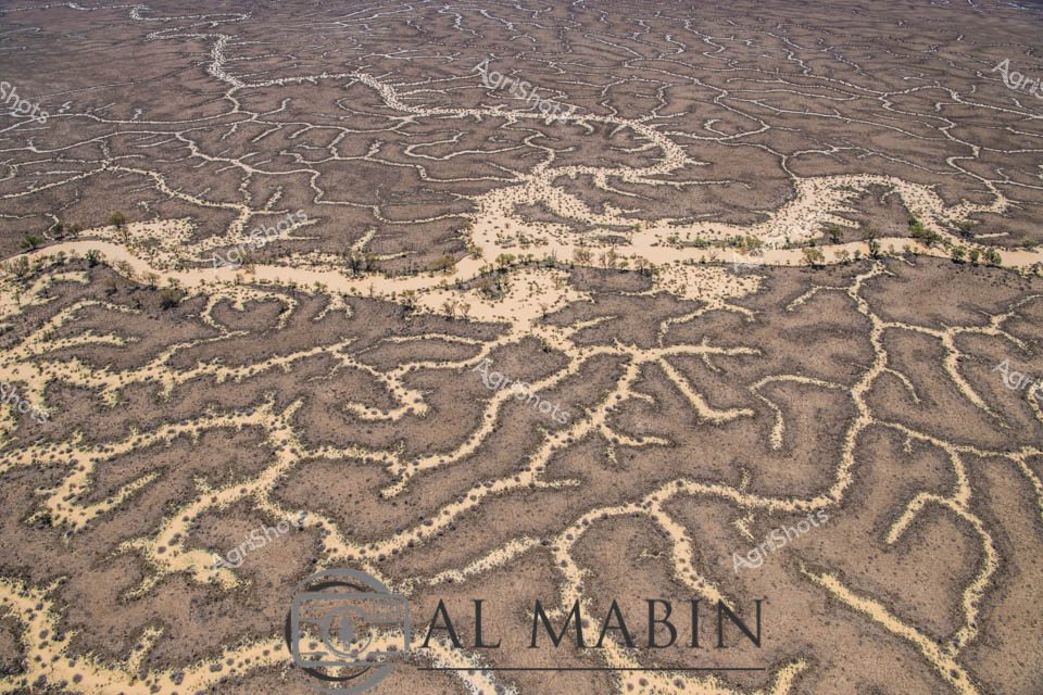
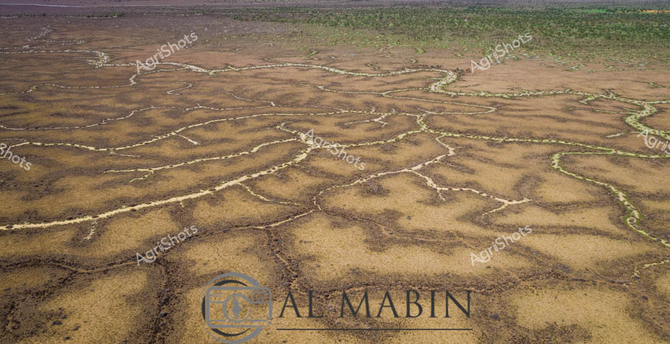
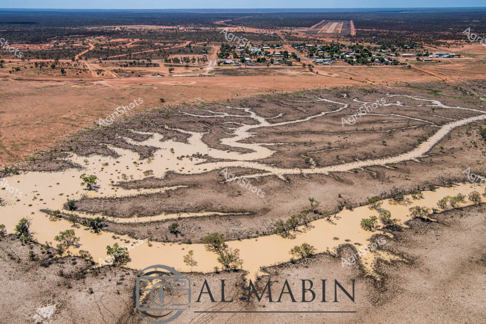
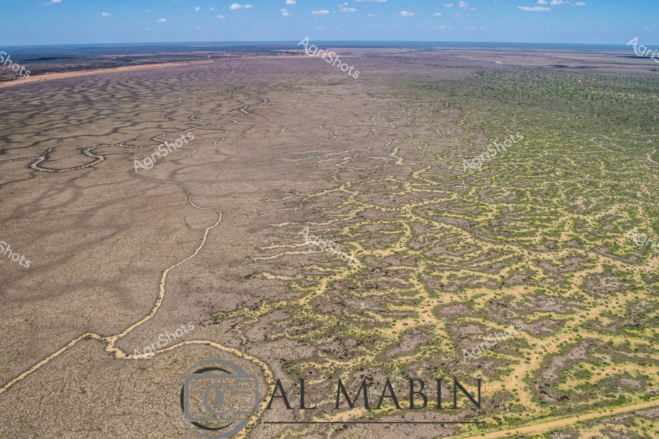
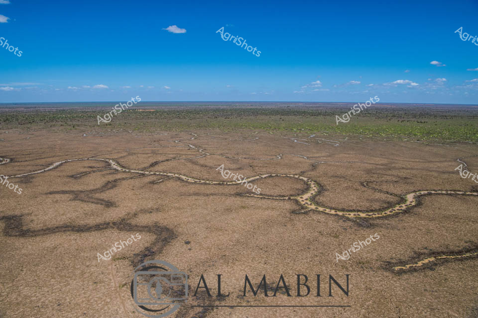
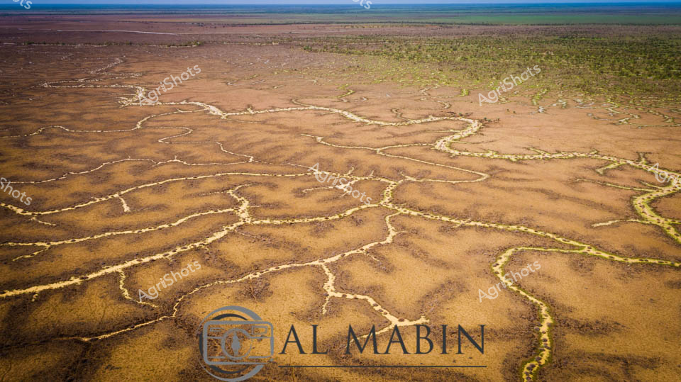
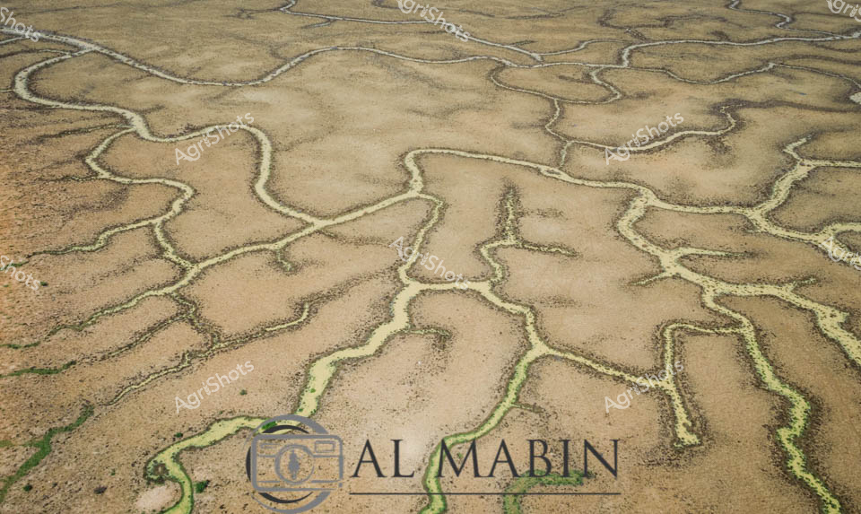
Serpentine waterways slice through the parched Channel Country landscape, revealing the intricate hydrology of Queensland's remote inland region. Murky sandy-colored floodwaters wind between drought-scorched earth, creating sinuous channels lined with sparse, resilient eucalyptus and acacia trees. The aerial perspective captures the delicate network of ephemeral creek systems that are vital lifelines for pastoral stations during rare flooding events, transforming the arid terrain into a complex hydraulic mosaic. Pale sediment-laden streams contrast dramatically with the burnt sienna and charcoal tones of the surrounding landscape, highlighting the dynamic seasonal transformations of this harsh yet beautiful inland ecosystem. These waterways represent critical infrastructure for beef cattle stations, providing essential water resources across thousands of square kilometers of remote Australian outback. The image powerfully illustrates the challenging environmental conditions that define agricultural operations in Queensland's most extreme pastoral zones, where water management is crucial for survival.