Related Images & Videos
View All Similar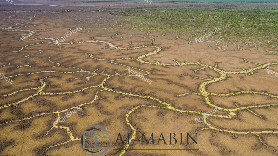


Purchase This Image
Get unlimited downloads with a subscription
View Subscription PlansAbout This Image
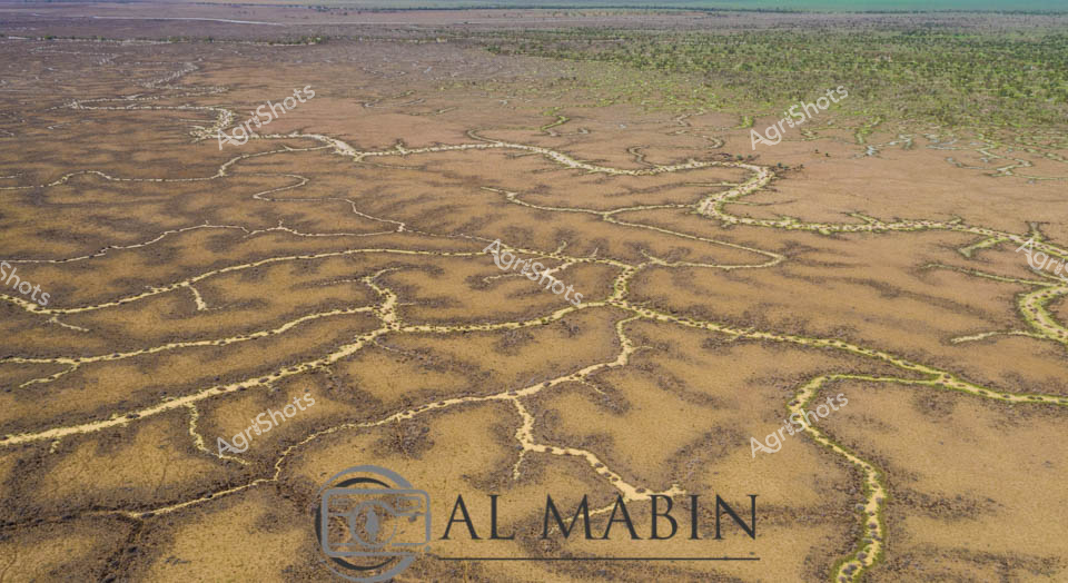
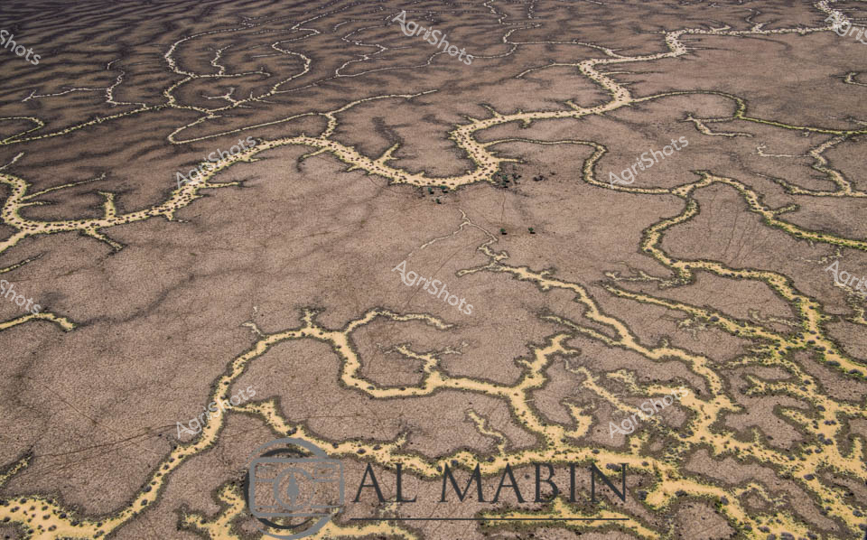
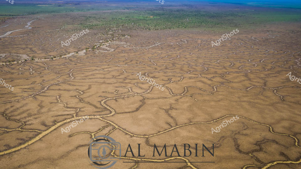
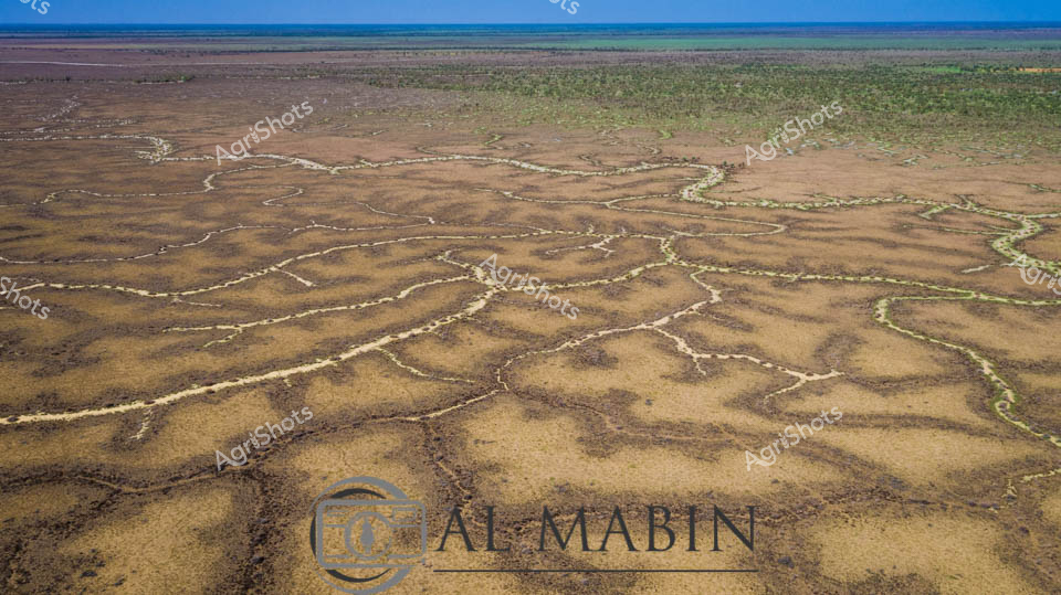
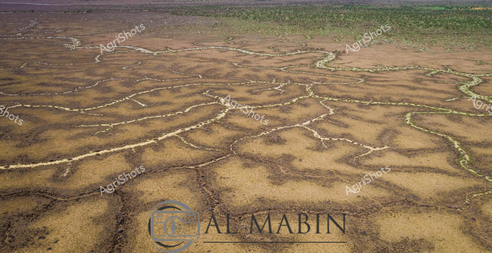
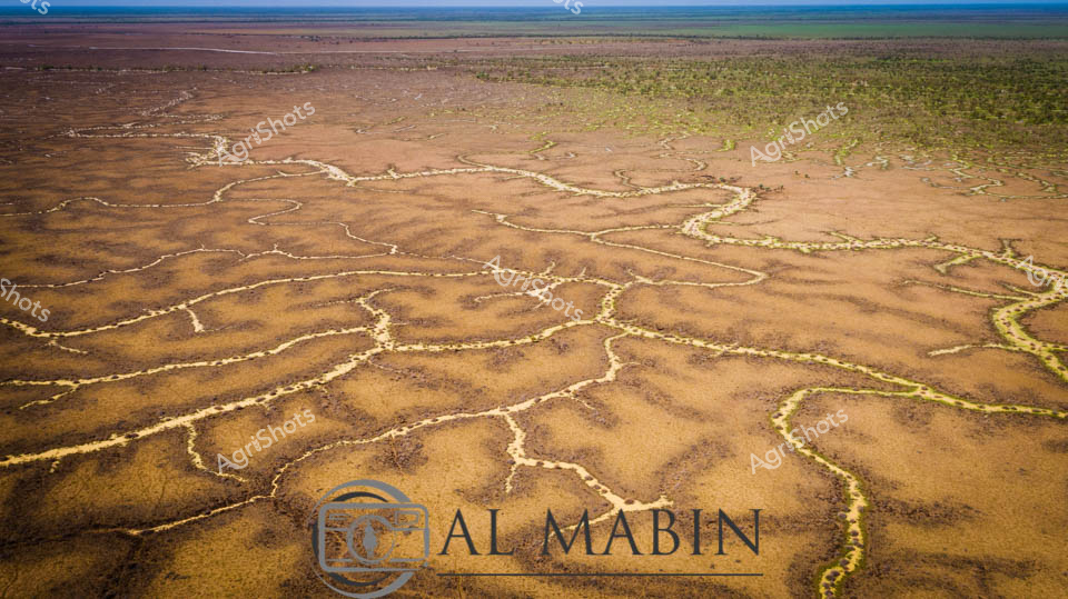
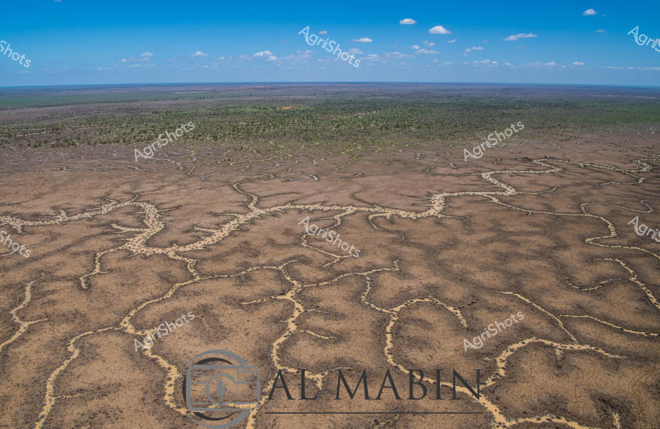
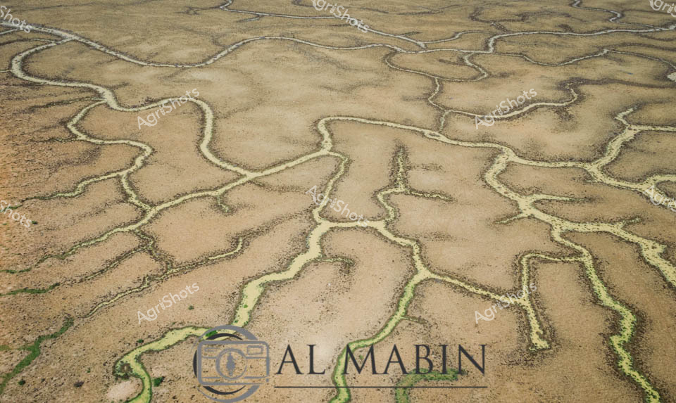
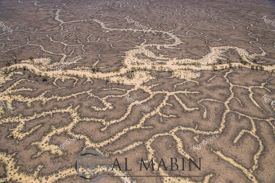
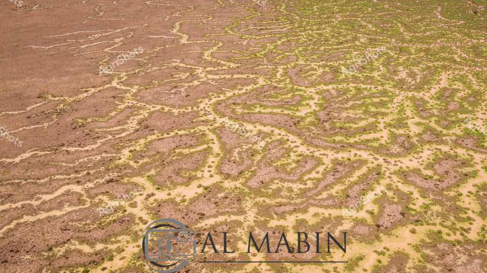
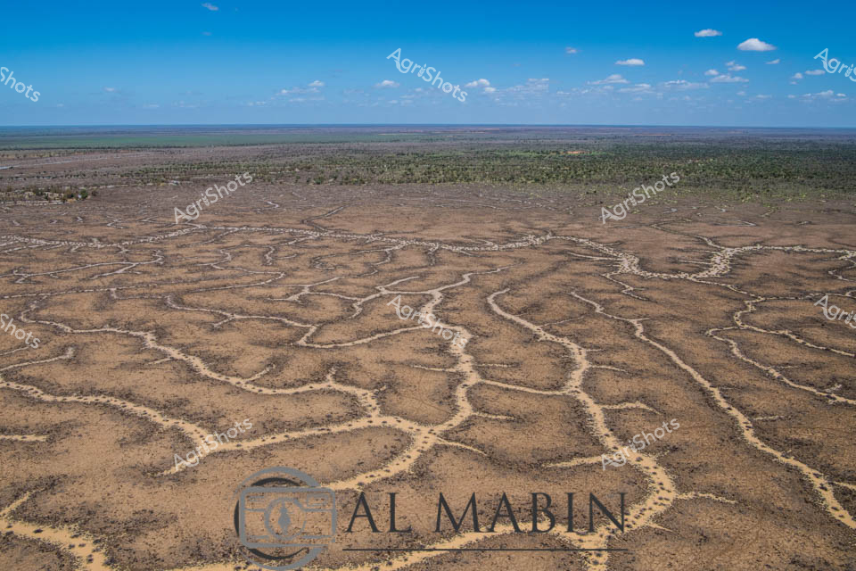
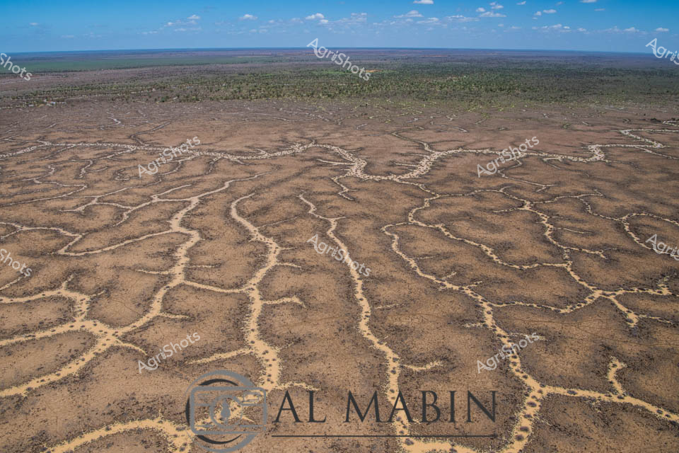
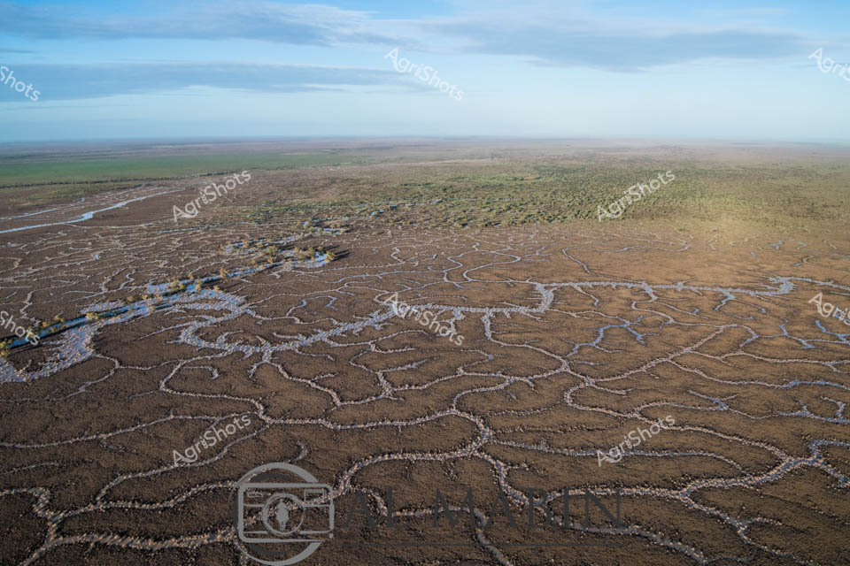
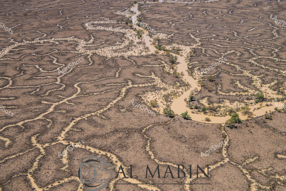
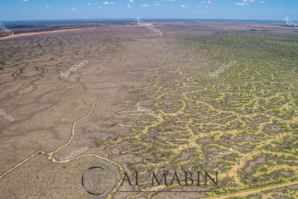
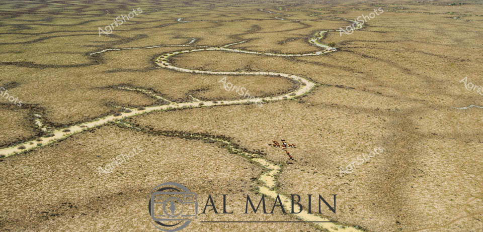
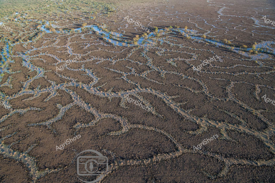
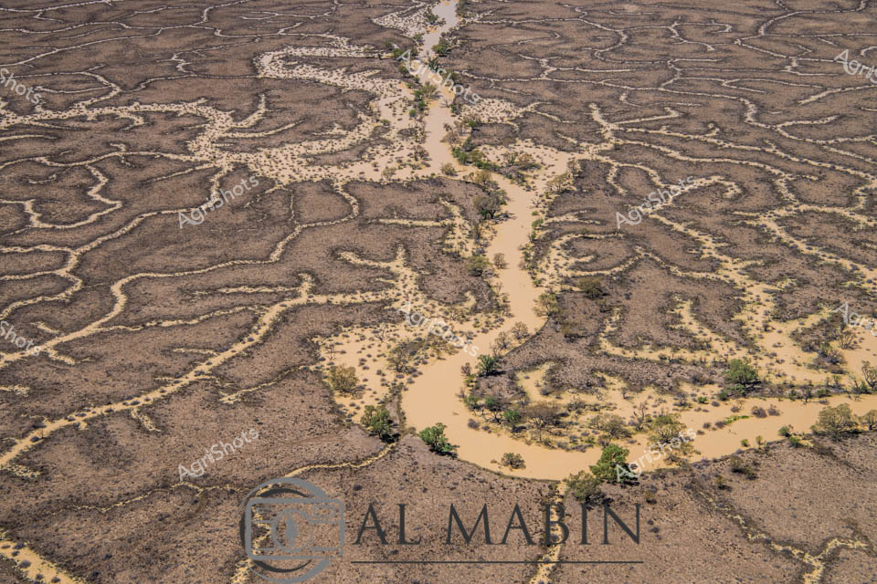
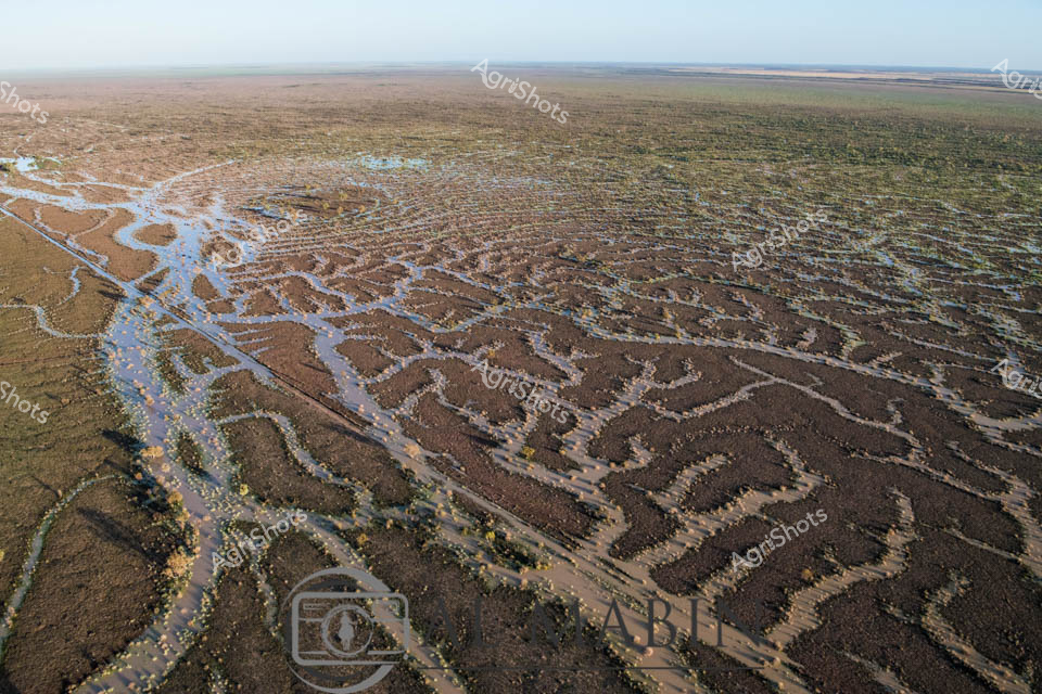
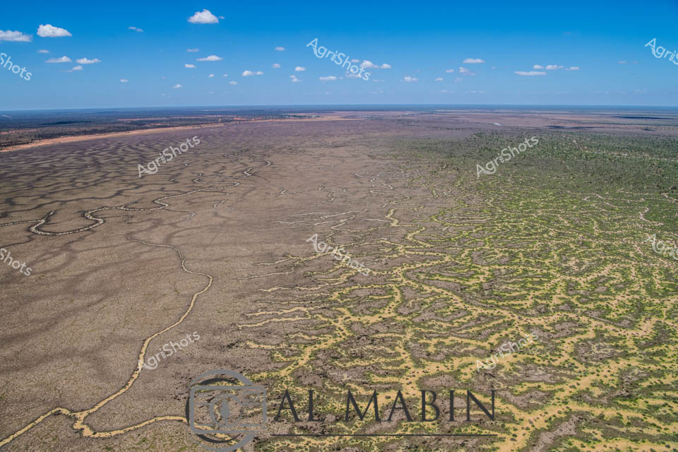
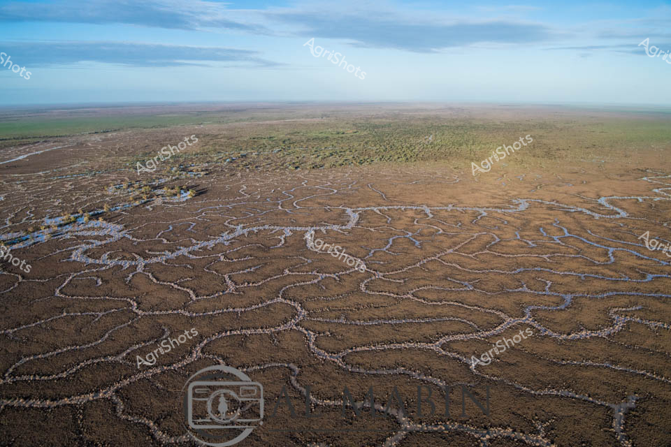
Branching waterways weave an intricate network across the parched Channel Country landscape, revealing the ephemeral lifelines of Queensland's remote interior. Limestone-edged creek lines trace delicate golden-green pathways through ochre and umber plains, capturing the subtle hydrology of an arid pastoral ecosystem. During rare flood events, these seemingly fragile watercourses transform the landscape, carrying vital moisture across vast cattle station territories and sustaining native grasses that support extensive beef production. The aerial perspective unveils a natural irrigation system where water navigates subtle topographical contours, creating a mesmerizing organic pattern that speaks to the resilience of Australia's inland agricultural environments. Soft green vegetation clusters along the watercourse edges contrast with the dominant brown earth, highlighting the critical role of water in this unforgiving terrain. The Al Mabin watermark signals this as a professional agricultural landscape documentation, capturing the strategic beauty of Queensland's remote pastoral zones.