Related Images & Videos
View All Similar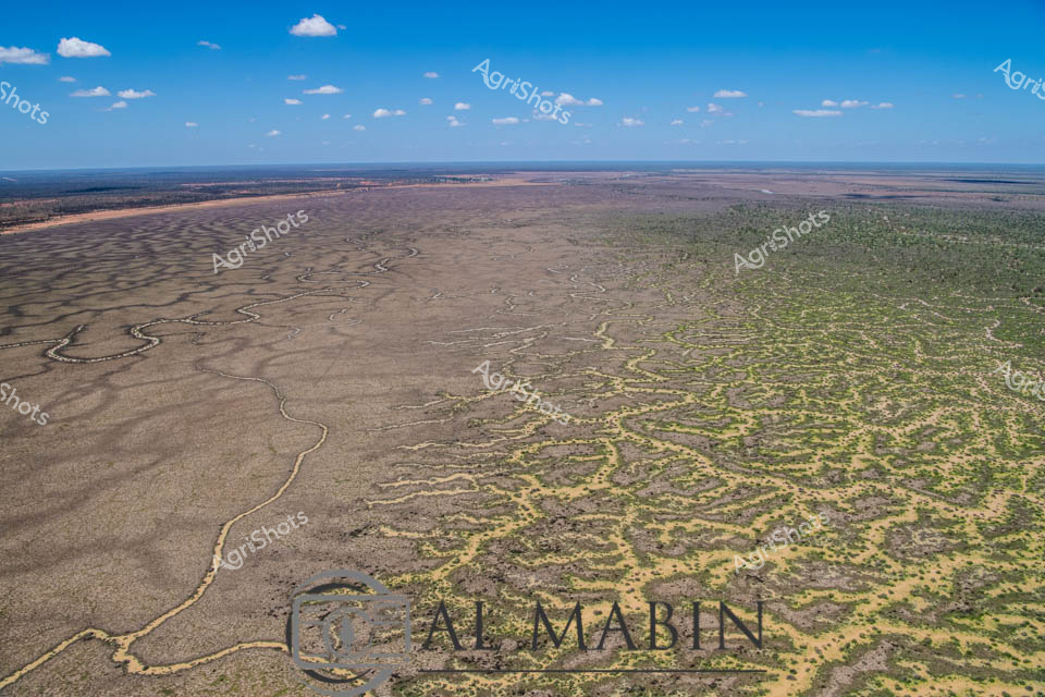


Purchase This Image
Get unlimited downloads with a subscription
View Subscription PlansAbout This Image
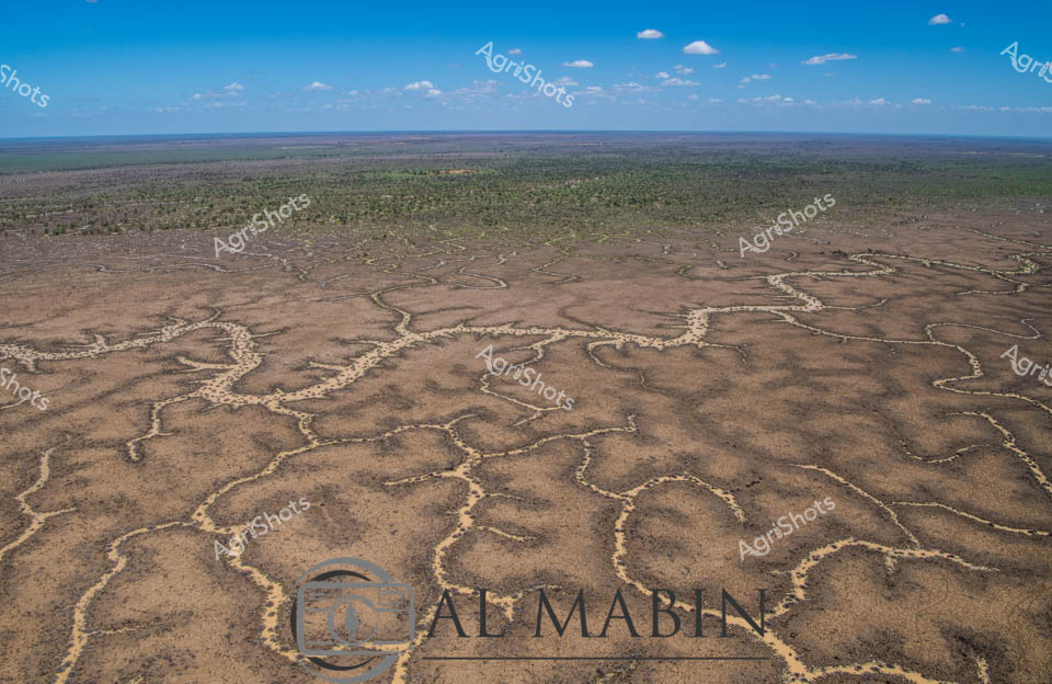
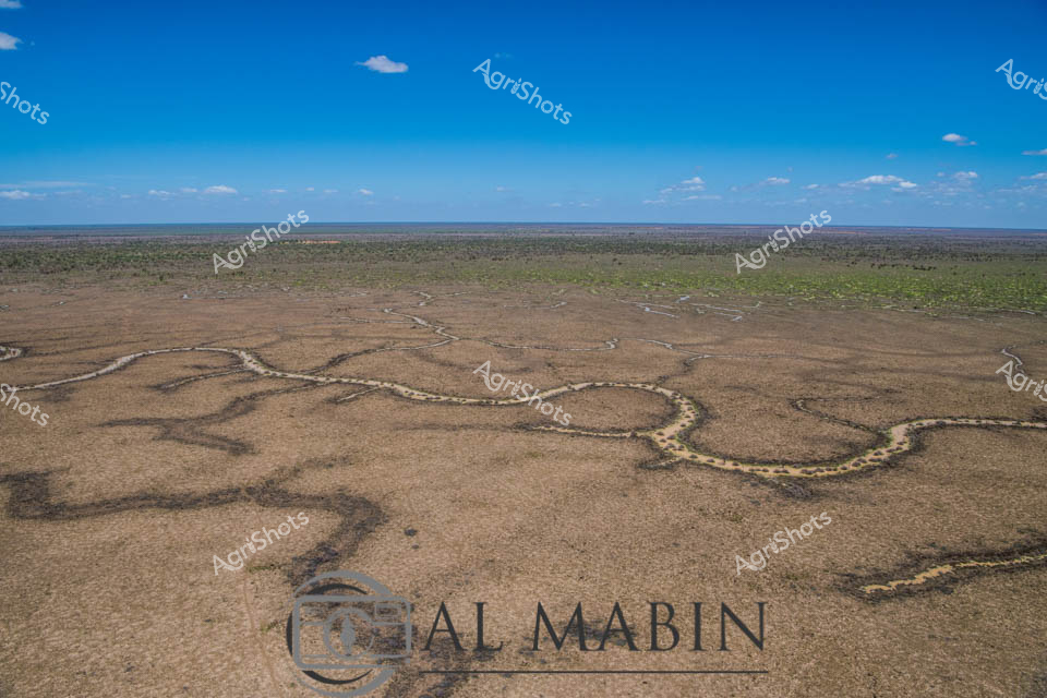
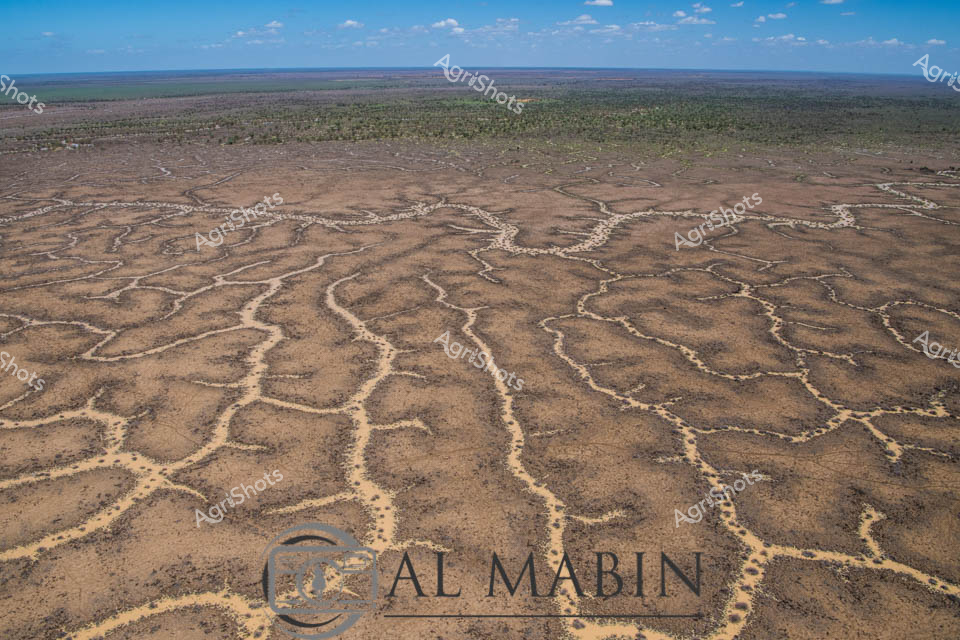
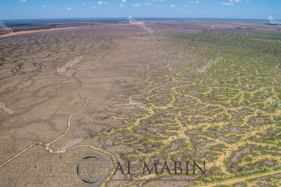
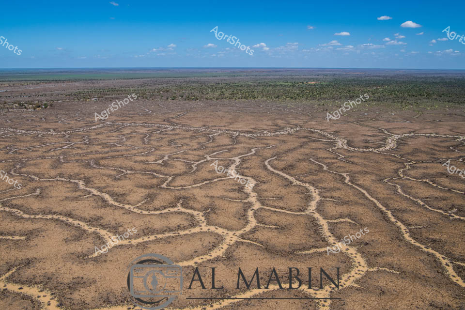
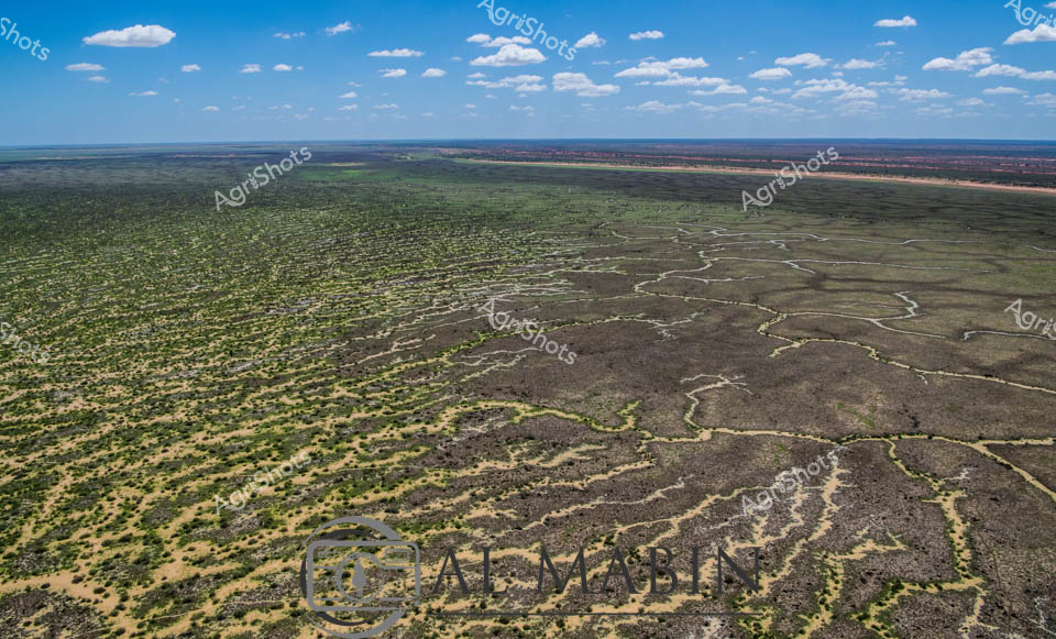
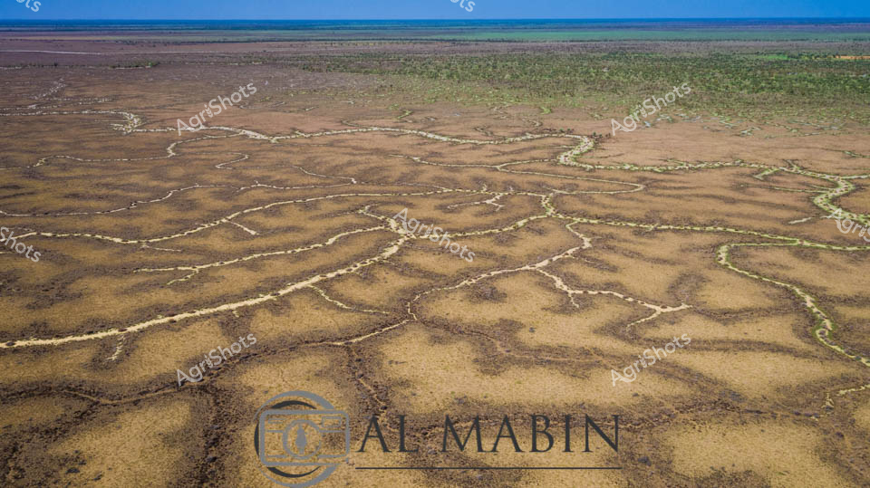
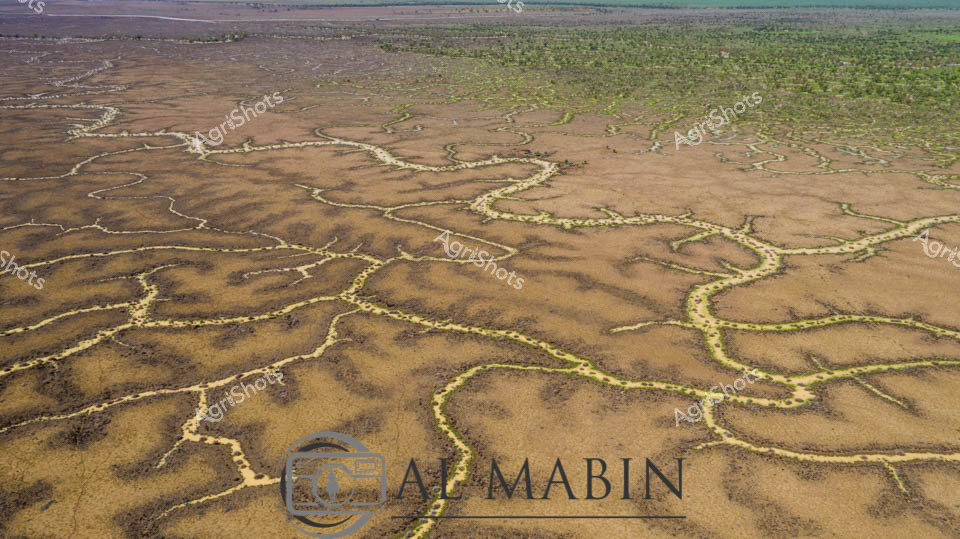
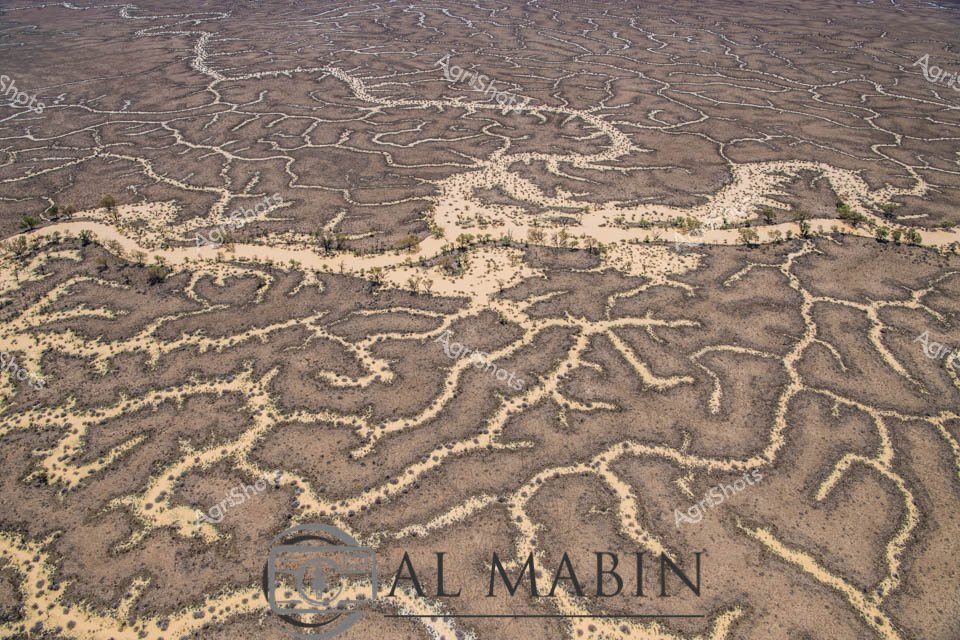
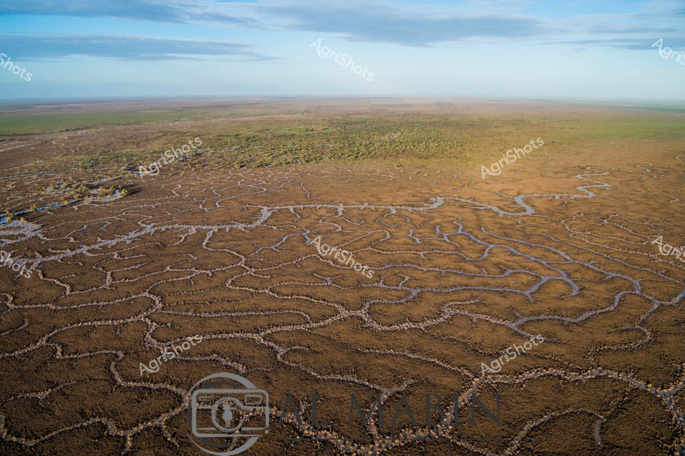
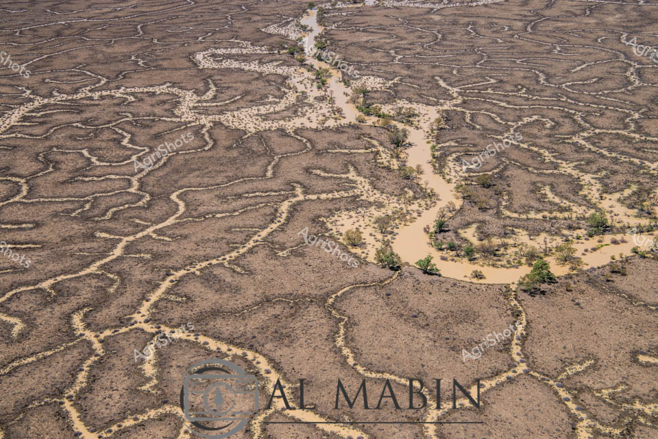
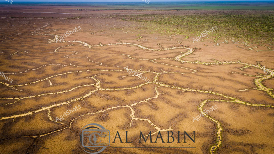
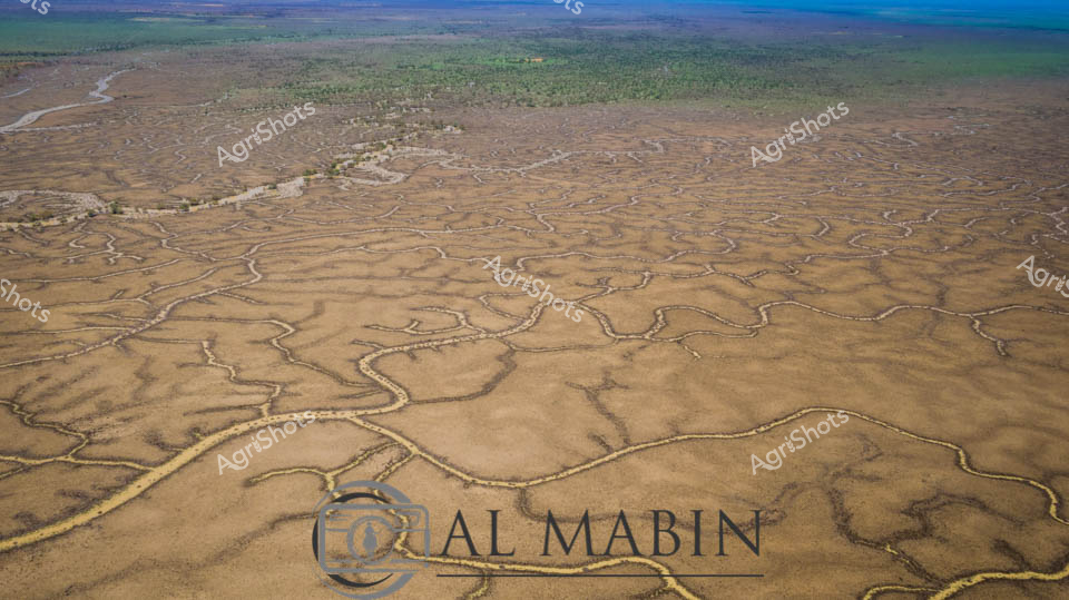
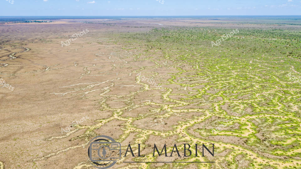
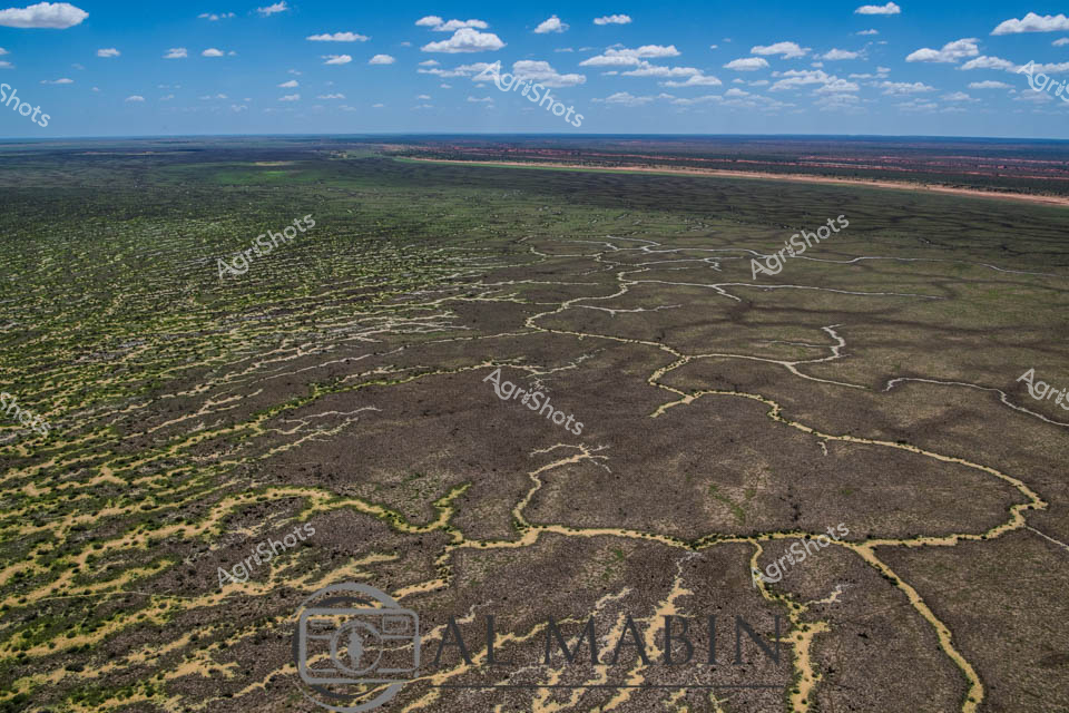
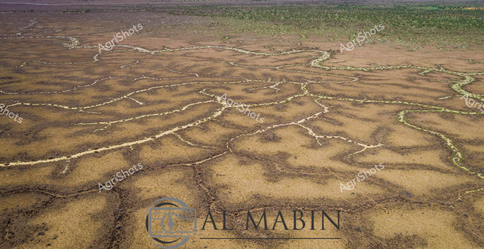
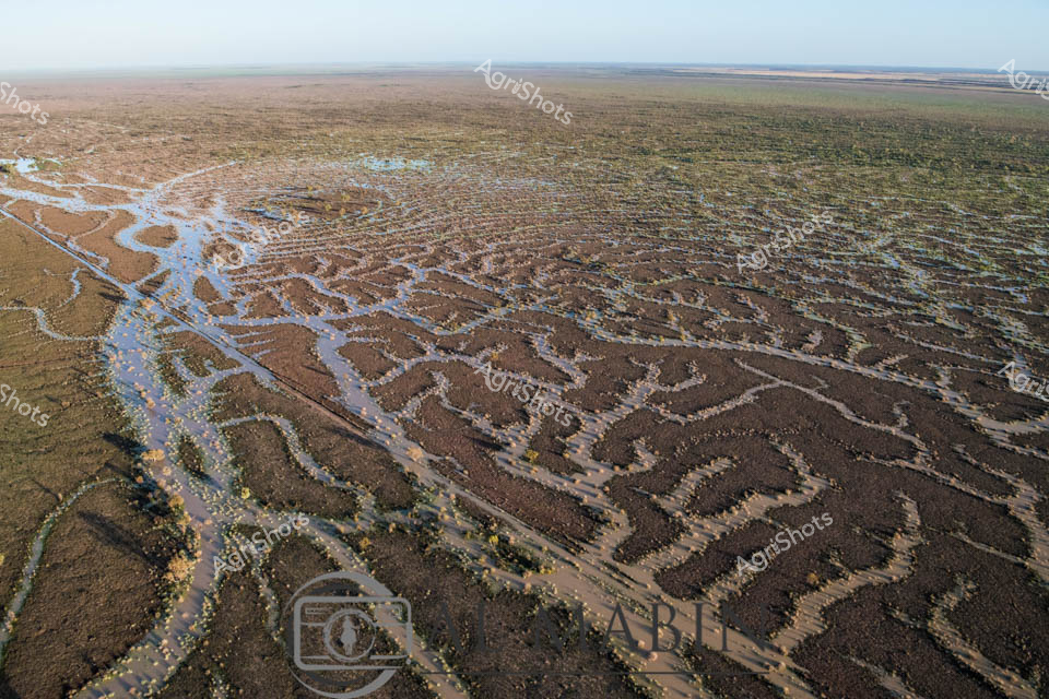
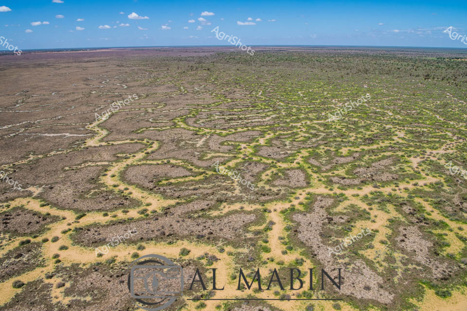
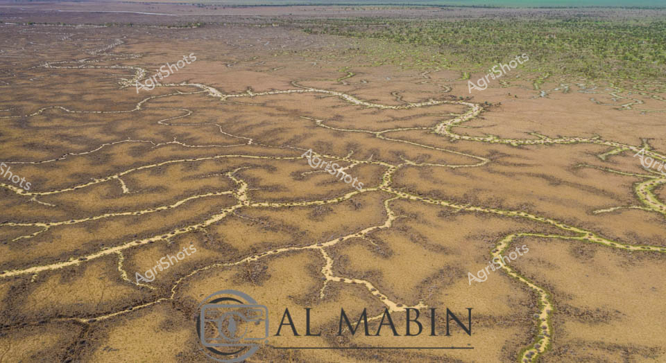
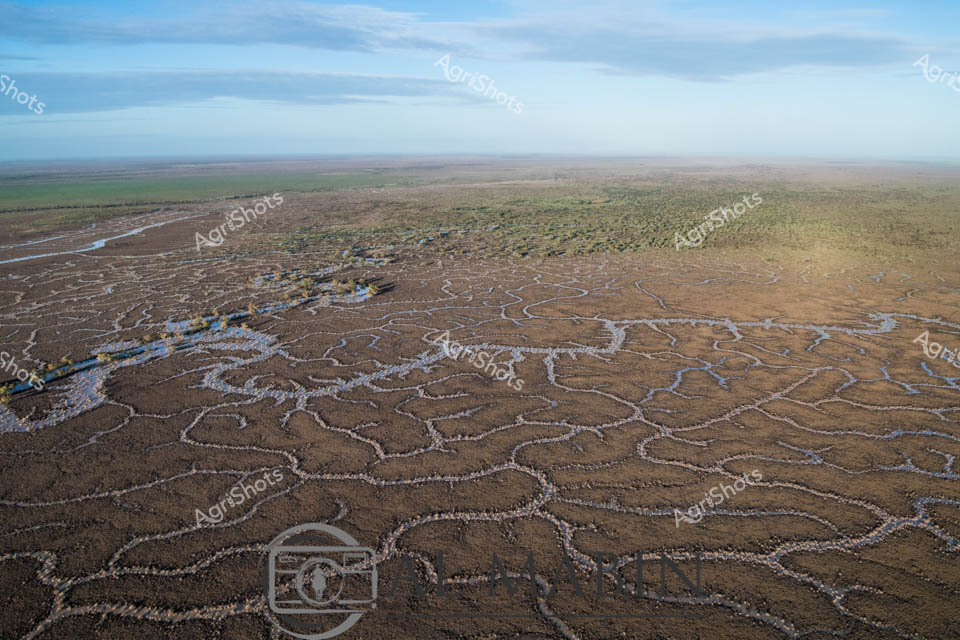
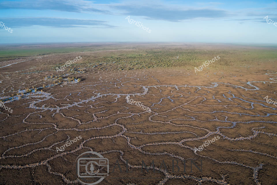
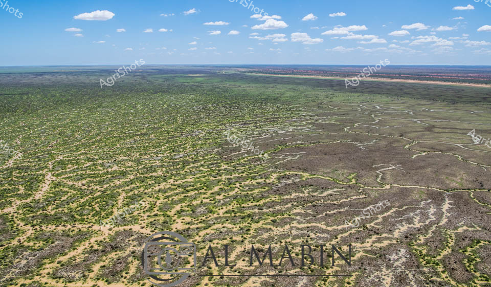
Serpentine waterways carve intricate patterns across the arid landscape of Queensland's Channel Country, revealing the delicate hydraulic infrastructure of Al Mabin station. Aerial perspectives showcase the complex network of ephemeral creek channels, their pale edges contrasting against the ochre and dusty brown earth, creating a natural irrigation system that sustains this remote beef cattle pastoral region. The intricate branching waterways resemble delicate veins across the landscape, capturing the precious moisture essential for survival in this harsh Australian outback environment. Distant green vegetation marks the edges of the floodplain, while a bright blue sky with scattered white clouds offers a sense of expansive tranquility and timeless geological process. This remarkable image captures the nuanced relationship between water, land, and pastoral agriculture in one of Australia's most challenging yet productive agricultural landscapes. The natural drainage patterns demonstrate how strategic water management enables cattle production in an environment where every drop of water is a lifeline.