Related Images & Videos
View All Similar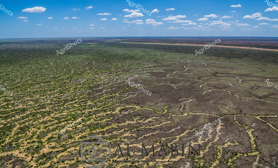

Purchase This Image
Get unlimited downloads with a subscription
View Subscription PlansAbout This Image
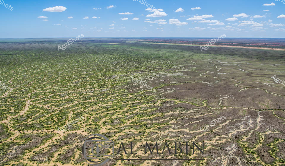
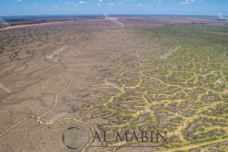
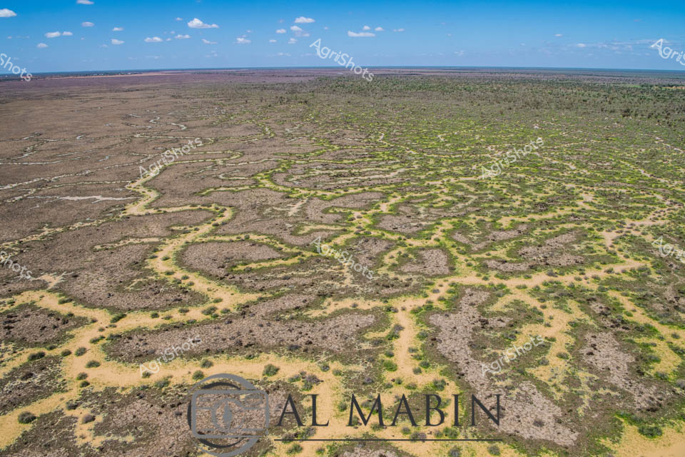
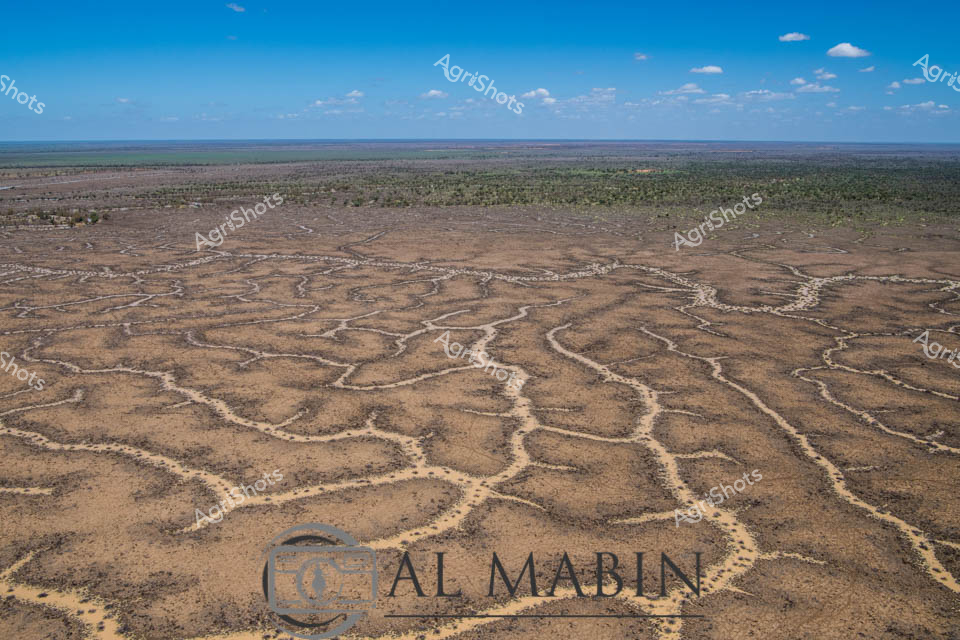
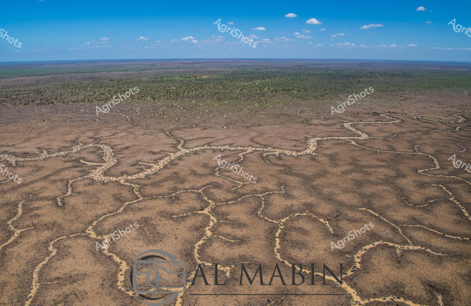
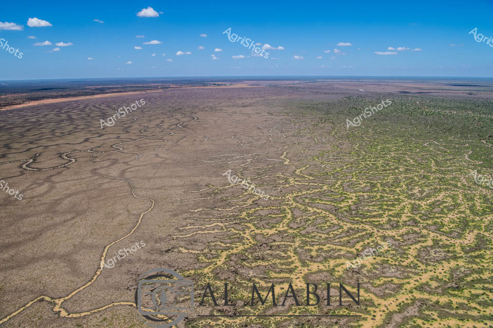
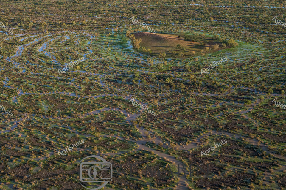
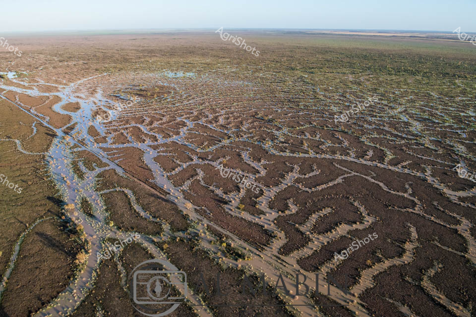
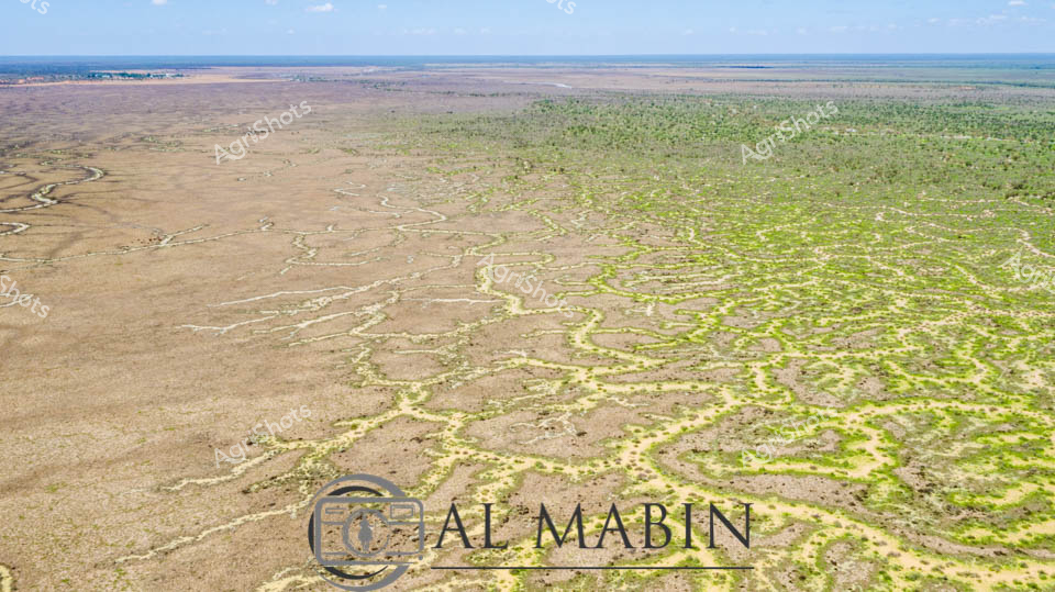
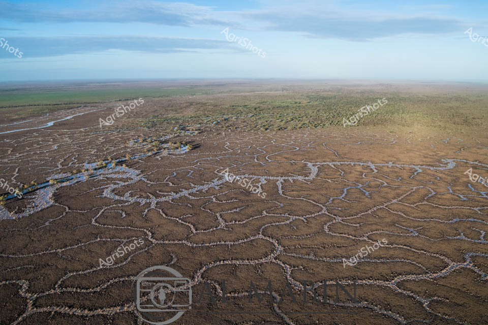
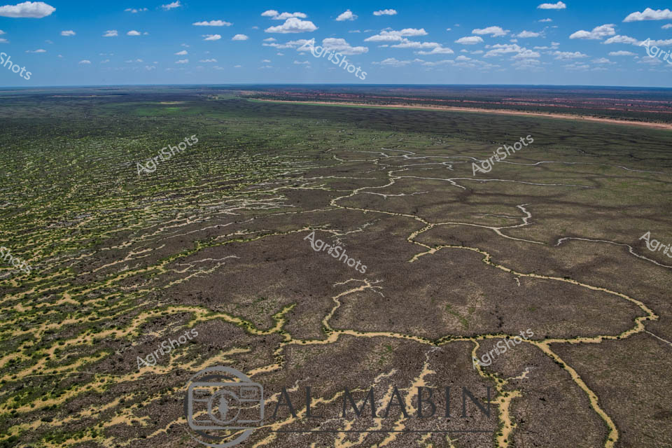
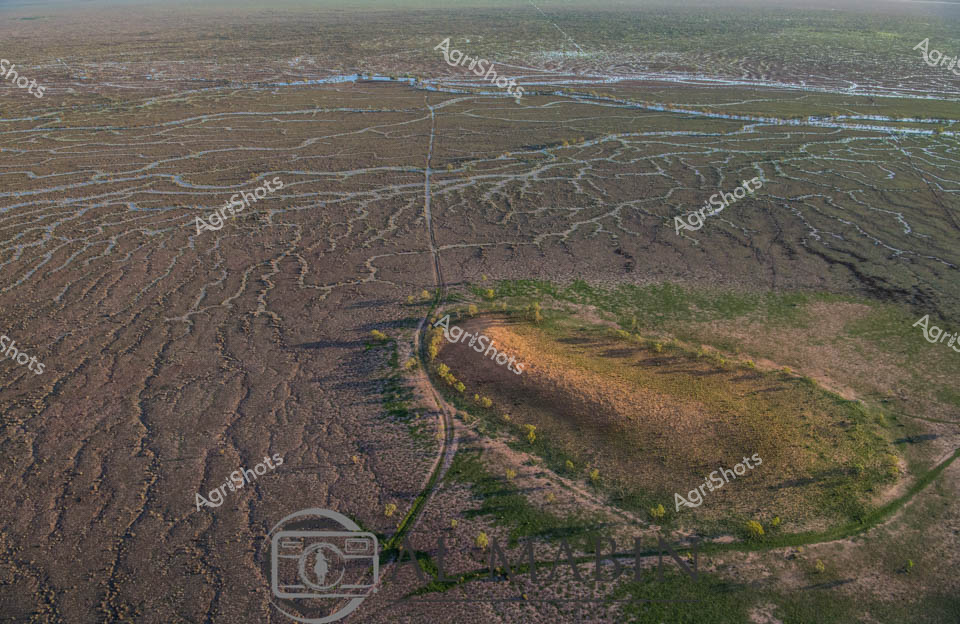
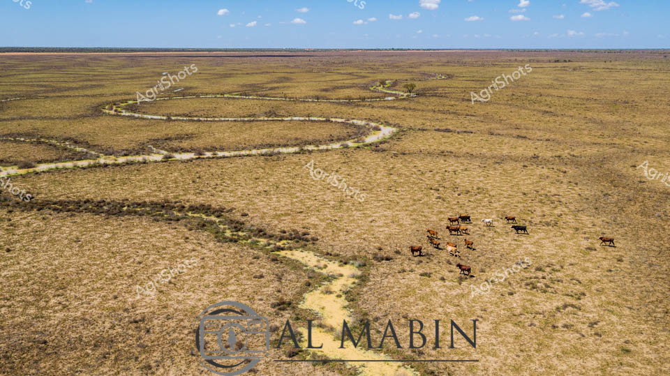
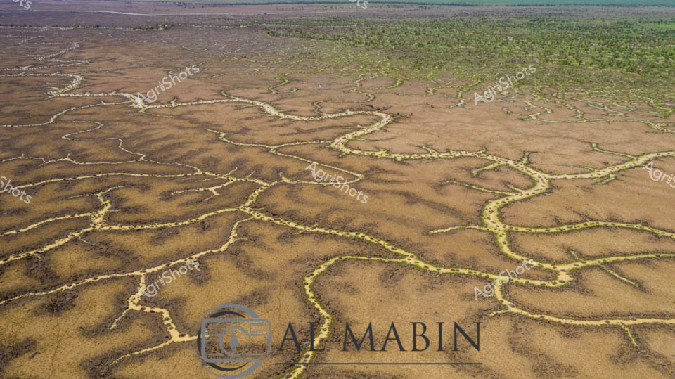
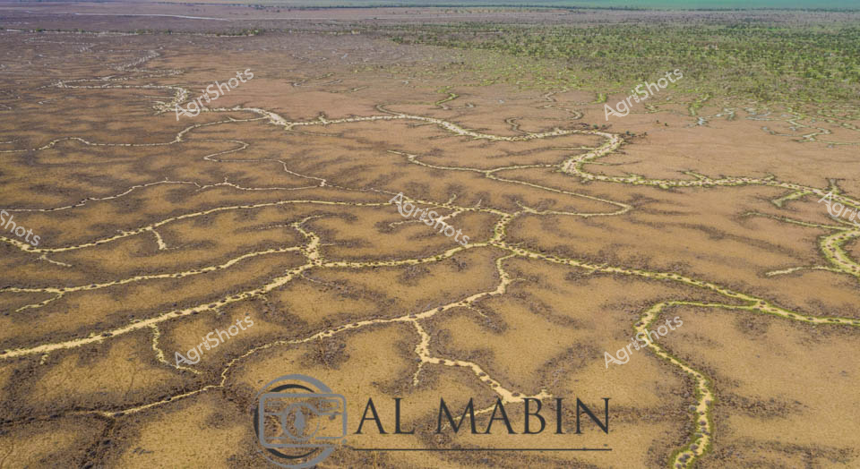
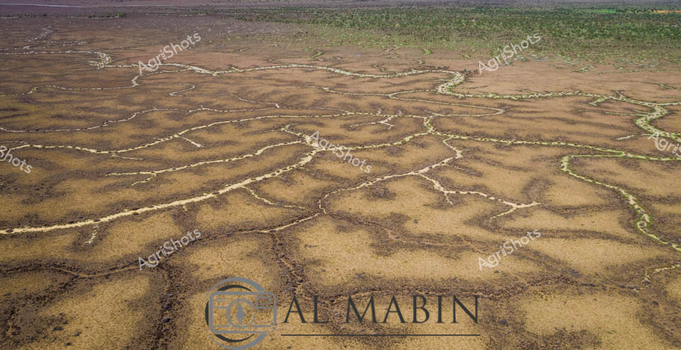
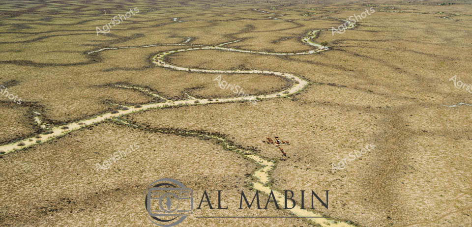
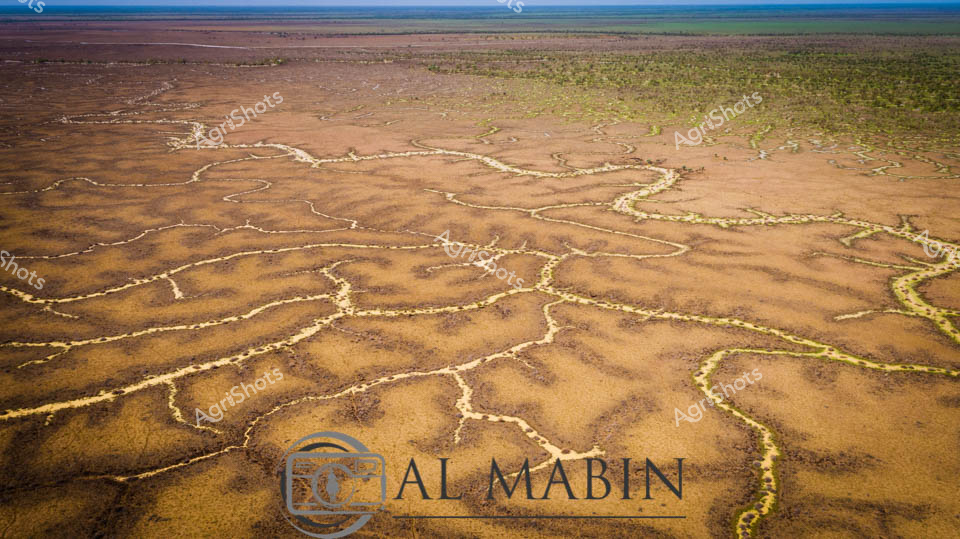
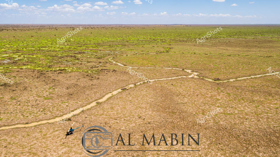
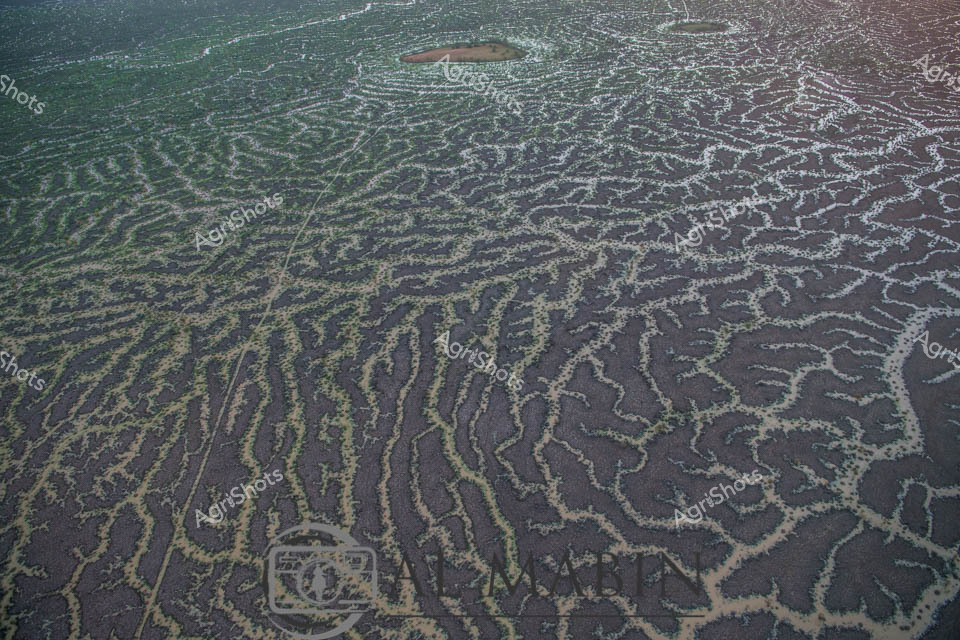
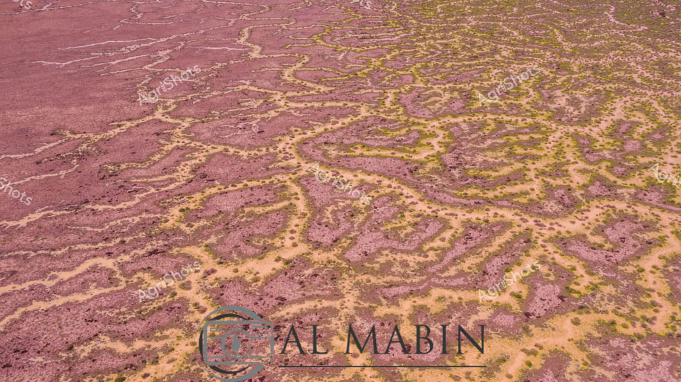
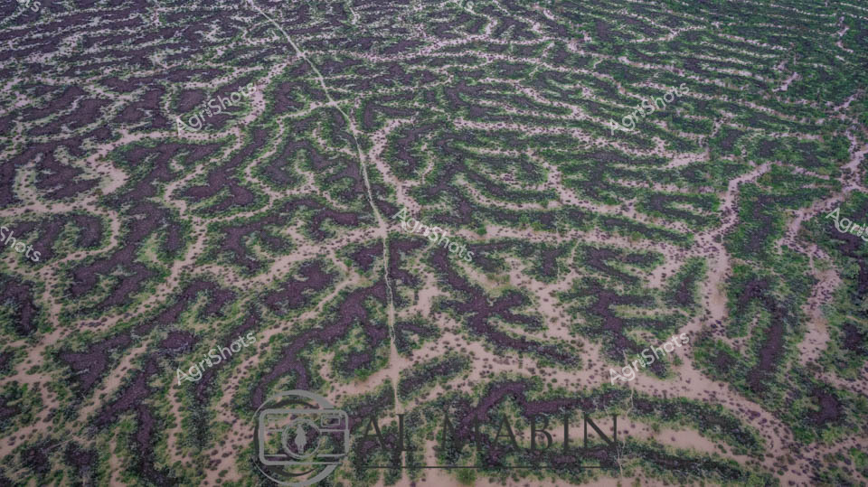
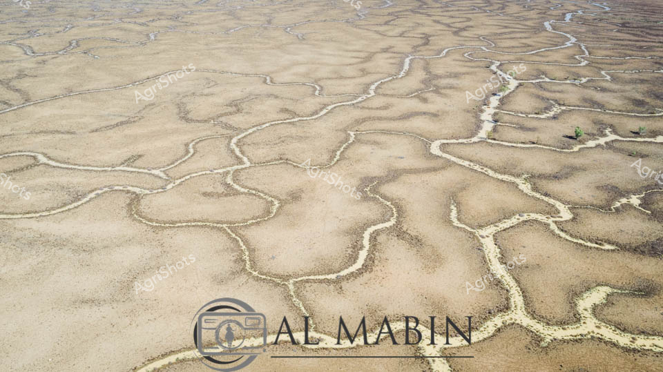
Aerial vista of Channel Country in Queensland, revealing the intricate water management infrastructure of Al Mabin's expansive cattle station. Serpentine water channels weave through the arid landscape, creating a complex network of irrigation routes that transform the dusty, sparse terrain into a potential grazing ecosystem. The panoramic view captures the immense scale of Australian pastoral land, where strategic water distribution becomes critical for sustainable beef production in this harsh, drought-prone region. Soft green and brown tones blend across the landscape, with meandering waterways etched like silver threads against the earth, demonstrating the sophisticated hydrology that enables agricultural resilience in remote Queensland. Wispy clouds float across a brilliant blue sky, suggesting a clear, dry season perfect for assessing and maintaining rural infrastructure. This image epitomizes the innovative water management techniques that allow cattle stations to thrive in some of Australia's most challenging agricultural environments.