Related Images & Videos
View All Similar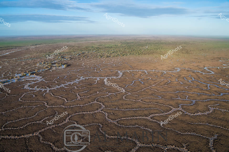


Purchase This Image
Get unlimited downloads with a subscription
View Subscription PlansAbout This Image
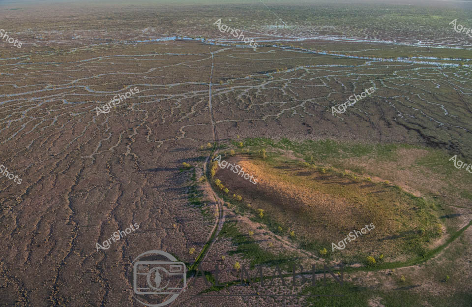
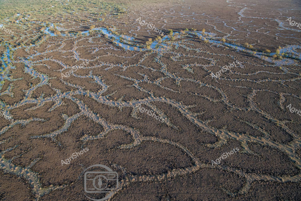
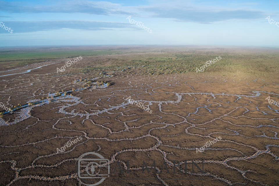
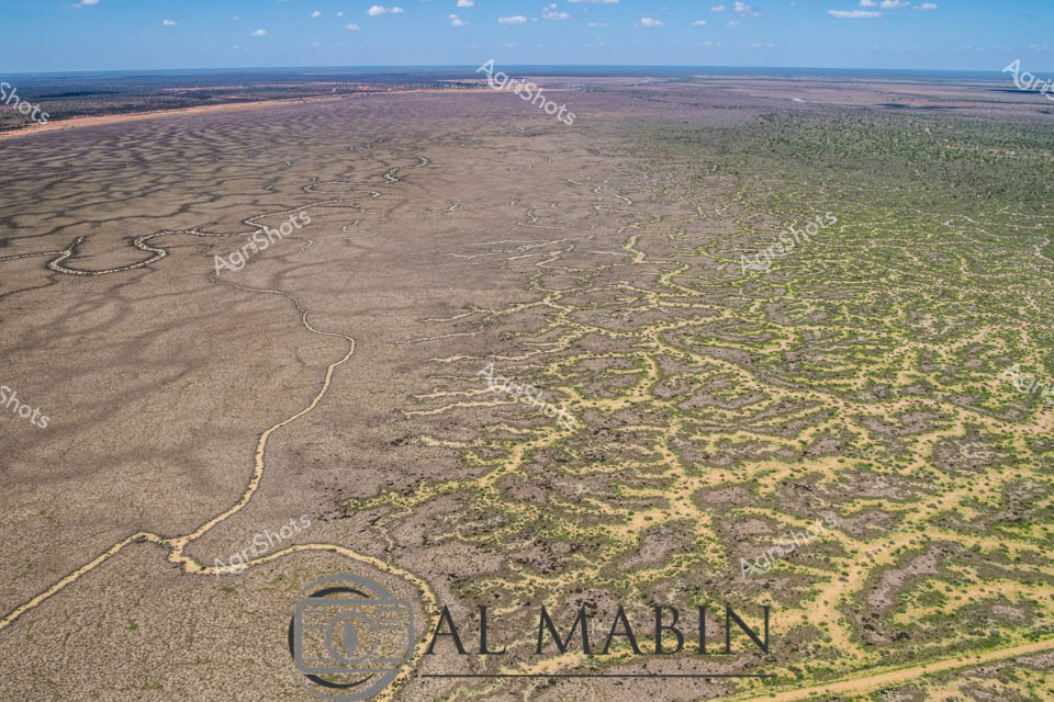
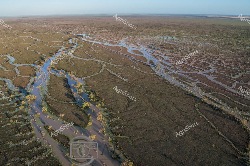
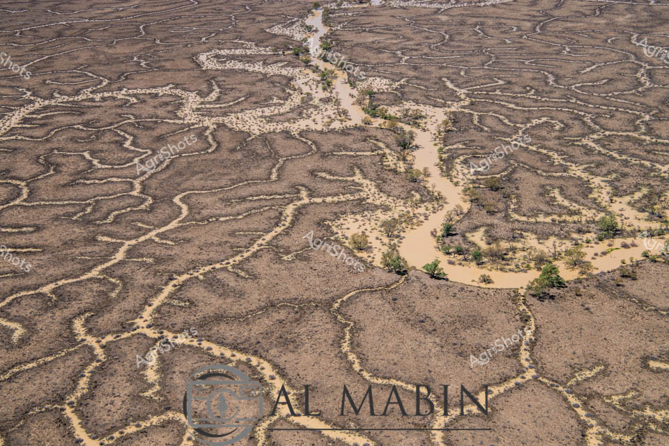
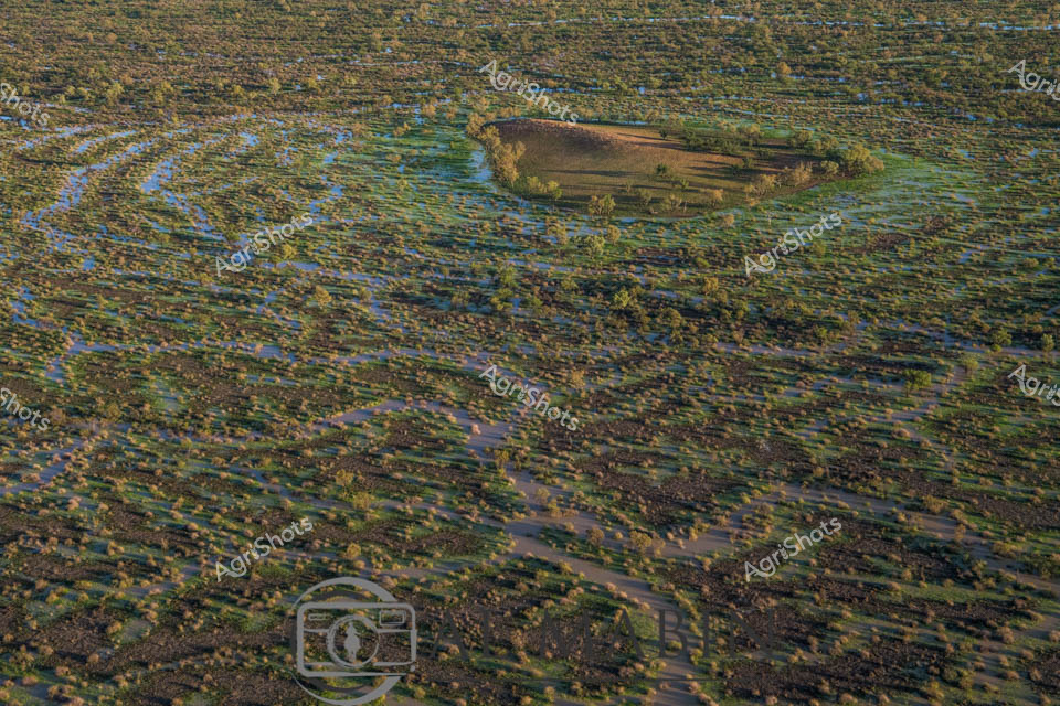
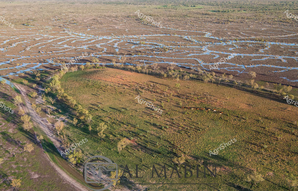
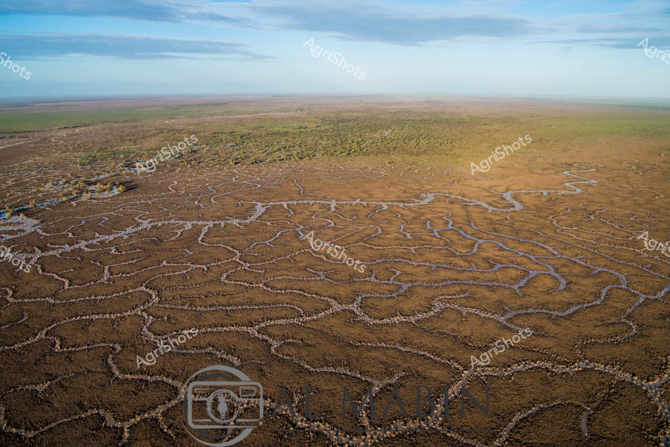
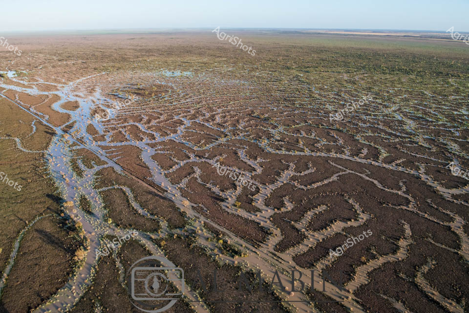
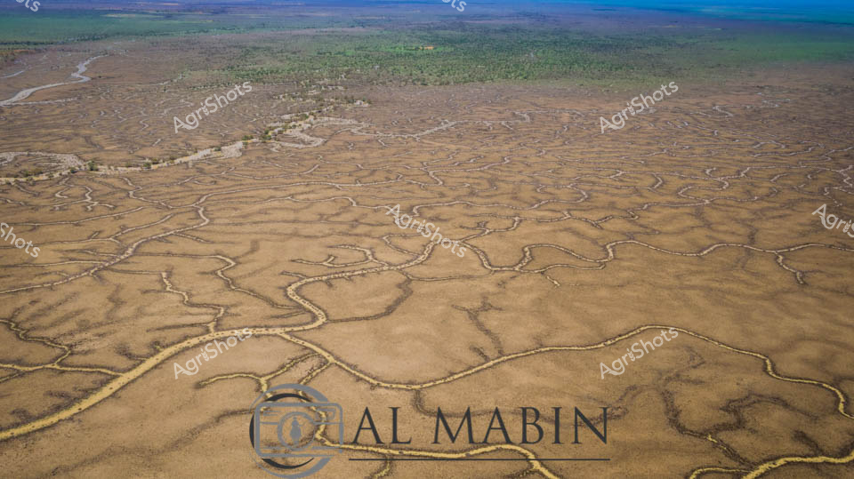
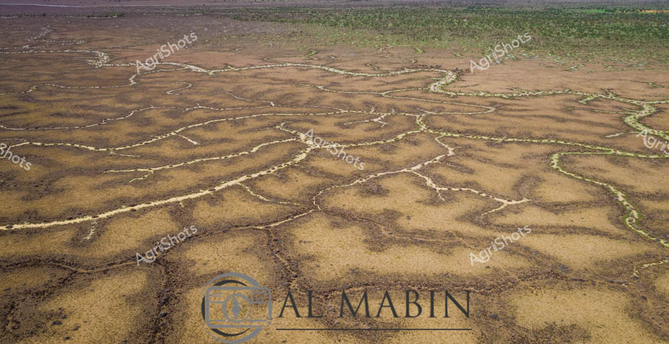
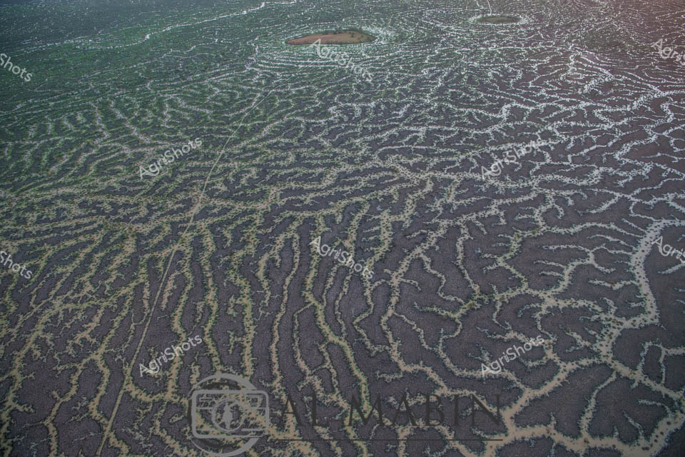
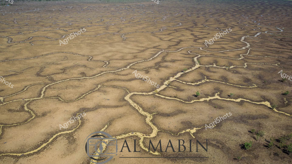
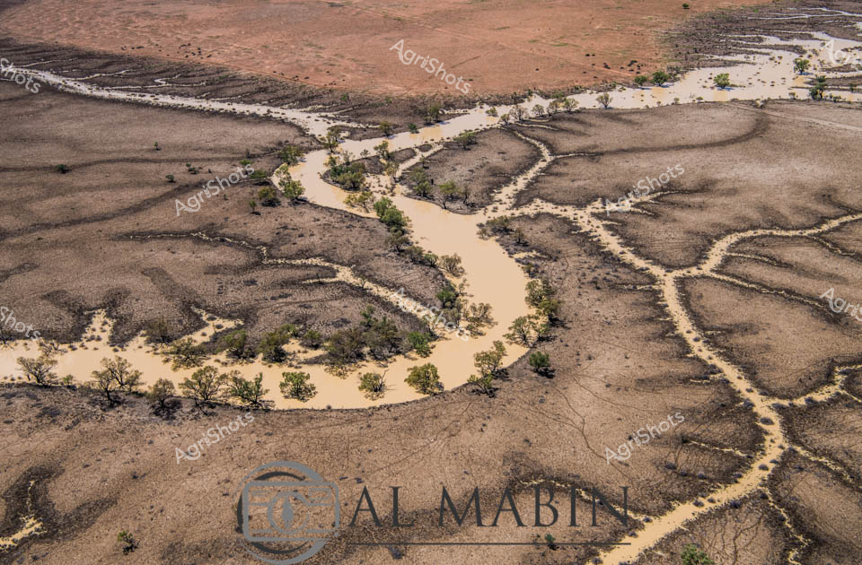
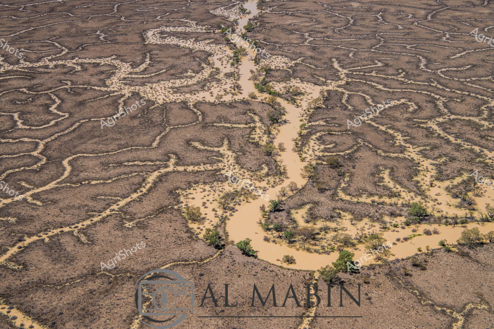
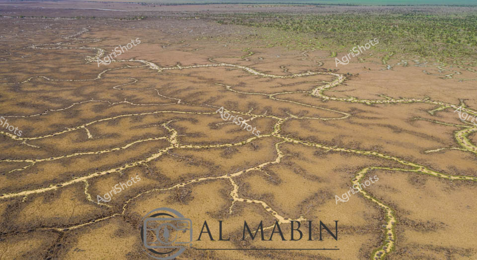
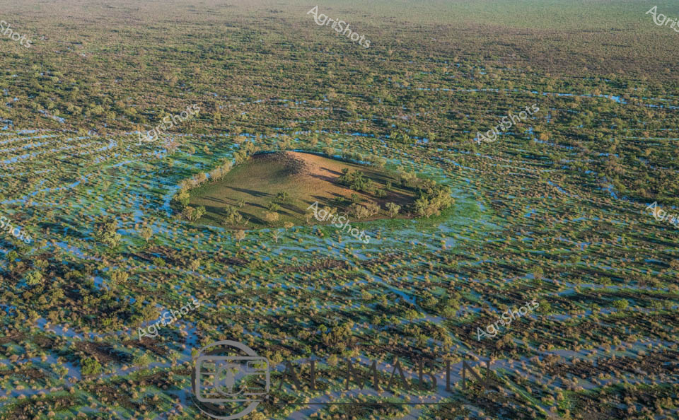
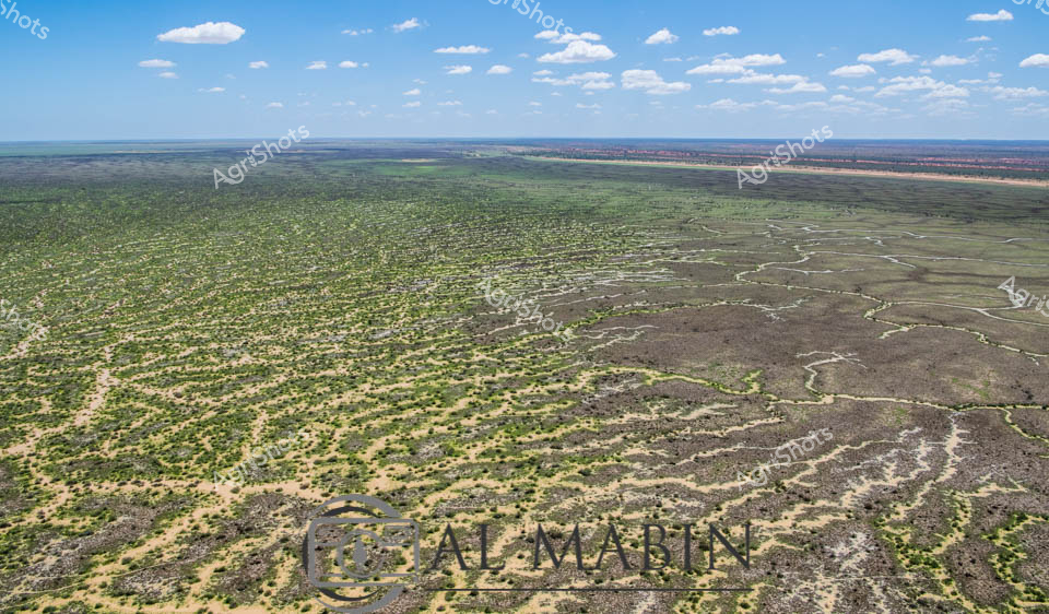
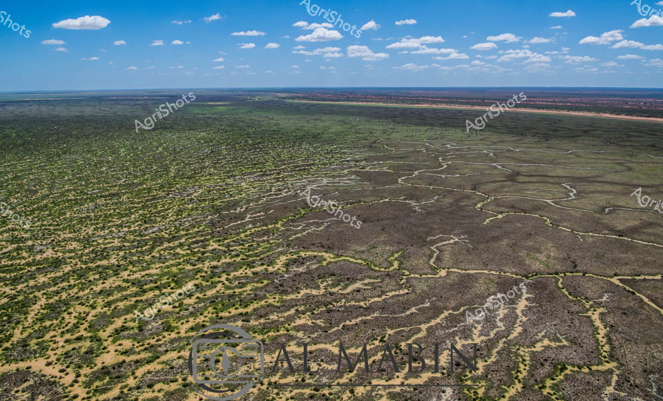
Aerial panorama of Channel Country's mesmerizing floodplain landscape in remote Queensland, revealing an intricate network of ephemeral waterways weaving across arid terrain. Sinuous blue channels snake through sun-baked earth, creating a complex hydrological tapestry that sustains vast pastoral stations during seasonal inundations. A subtle raised landform emerges, edged with sparse vegetation - likely a strategic cattle station vantage point positioned to monitor livestock movements during critical flooding periods. The landscape displays a sophisticated natural irrigation system, where seasonal rains transform this seemingly harsh environment into a dynamic ecosystem supporting extensive beef production. Muted earthy tones of ochre, dusty brown, and subtle green blend seamlessly, showcasing the resilient adaptability of Queensland's agricultural landscape. This remarkable aerial perspective captures the delicate balance between water, land, and agricultural management in one of Australia's most challenging yet productive pastoral regions.