ALMABIN_1521692129_7.jpg_wp12003.jpg
View slideshow

Related Images & Videos

View All Similar
ALMABIN_1457982326_6.jpg_wp12317.jpg
56%
Image

Cotton Harvest: Precision Agriculture in Queensland A towering John Deere cotton picker dominates a...

ALMABIN_1650773479_43.jpg_wp28524.jpg
55%
Image
ALMABIN_1650773623_88.jpg_wp28552.jpg
52%
Image
ALMABIN_1678267436_76.png_wp48221.jpg
43%
Image

Blazing against an expansive Queensland sky, a crimson Case combine harvester methodically harvests ...

ALMABIN_1513406017_2.jpg_wp14361.jpg
43%
Image

Precision irrigation carves a geometric landscape near the cotton fields of inland New South Wales. ...

ALMABIN_1513409532_9.jpg_wp14373.jpg
42%
Image

Aerial view of a meticulously engineered agricultural landscape near Walgett, New South Wales, revea...

ALMABIN_1650524106_15.MP4_wp28900.jpg
42%
Video
ALMABIN_1513409628_5.jpg_wp14375.jpg
41%
Image

Precision agriculture unfolds across the fertile plains of New South Wales, where meticulously plant...

ALMABIN_1513965981_1.jpg_wp17171.jpg
41%
Image

Soft dawn light bathes a precision irrigation channel carving through the expansive agricultural lan...

ALMABIN_1513978523_5.jpg_wp19516.jpg
40%
Image

Precision irrigation transforms the arid landscape of rural New South Wales, where golden maize stre...

ALMABIN_1504585403_8.jpg_wp17351.jpg
39%
Image

Nestled in the vast, parched landscape of rural New South Wales, an irrigation pump station stands s...

ALMABIN_1513975294_3.jpg_wp17187.jpg
38%
Image

Rural irrigation transforms the arid landscape of New South Wales, channeling life-giving water thro...

ALMABIN_1655694744_41.MP4_wp31673.jpg
37%
Video
ALMABIN_1498616587_8.jpg_wp13635.jpg
37%
Image

Altocumulus clouds cascade across the vast Queensland sky, creating a dramatic canopy over an expans...

ALMABIN_1521942527_0.jpg_wp14233.jpg
36%
Image

Expansive Channel Country floodplain stretches toward the distant horizon, revealing the raw beauty ...

ALMABIN_1620885834_1.jpg_wp12267.jpg
36%
Image
ALMABIN_1682214321_69.png_wp51676.jpg
36%
Image

Precision-engineered irrigation channels slice through an expansive cotton field, revealing the calc...

ALMABIN_1502154189_2.jpg_wp13369.jpg
35%
Image

Aerial vista of a parched riverbank along an inland waterway in remote Queensland. Turbid, sediment-...

ALMABIN_1682214339_72.png_wp51678.jpg
35%
Image

Serpentine channels of pale green water slice through the rich, dark earth of a cotton field, creati...

ALMABIN_1521921826_6.jpg_wp14249.jpg
35%
Image

Aerial panorama of Channel Country's mesmerizing floodplain landscape in remote Queensland, revealin...

ALMABIN_1513027014_8.jpg_wp13711.jpg
35%
Image

Sunlight bathes a vast watermelon plantation in central Queensland, stretching across rich red earth...

ALMABIN_1504299489_7.jpg_wp14807.jpg
34%
Image

Soft dawn light bathes a lush green paddock as a towering centre pivot irrigation system sweeps acro...

ALMABIN_1502006240_3.jpg_wp13345.jpg
34%
Image

Aerial view of a drought-parched riverbank on a remote Queensland cattle station, captured in the go...

ALMABIN_1498870201_3.jpg_wp13063.jpg
34%
Image

Beneath an expansive cerulean sky, a classic Australian windmill stands sentinel over a sun-parched ...

Purchase This Image

$110.00
inc GST
$110.00 ex GST
OR

Get unlimited downloads with a subscription

View Subscription Plans
High-resolution download
No watermark
Commercial license included

About This Image

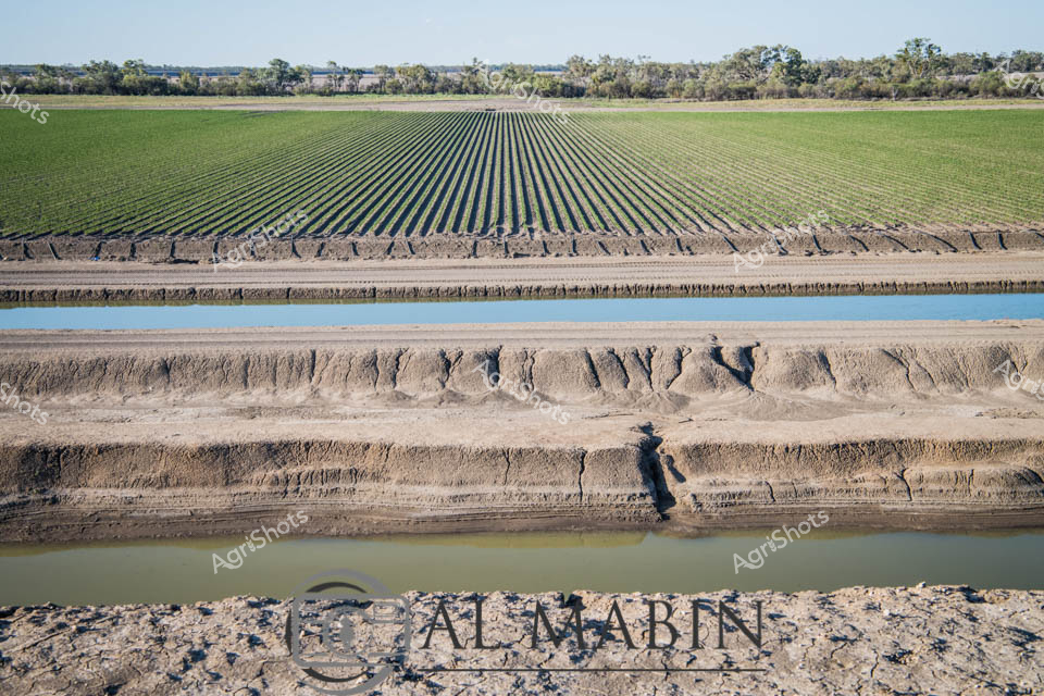
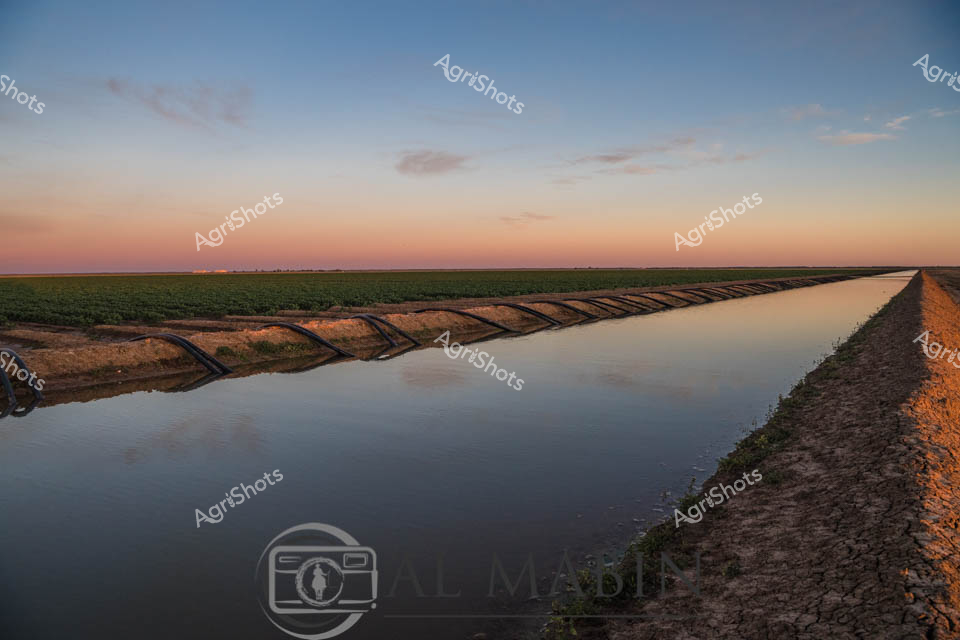
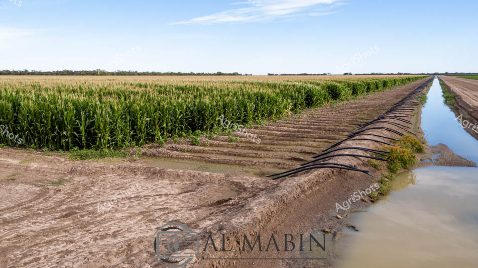
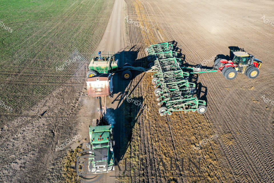
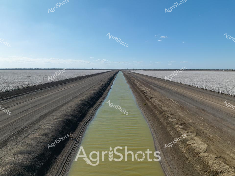
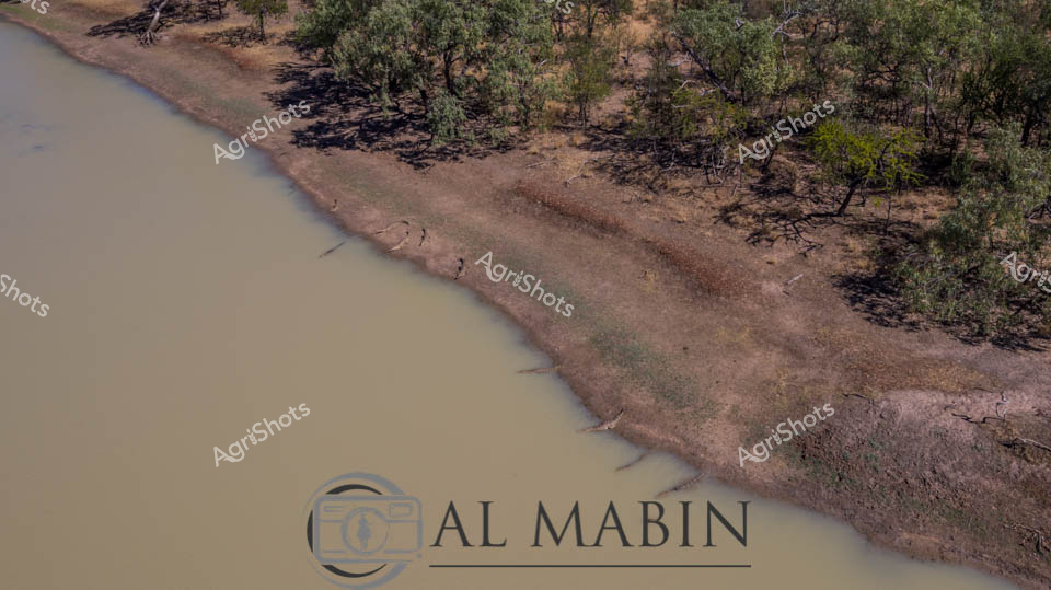
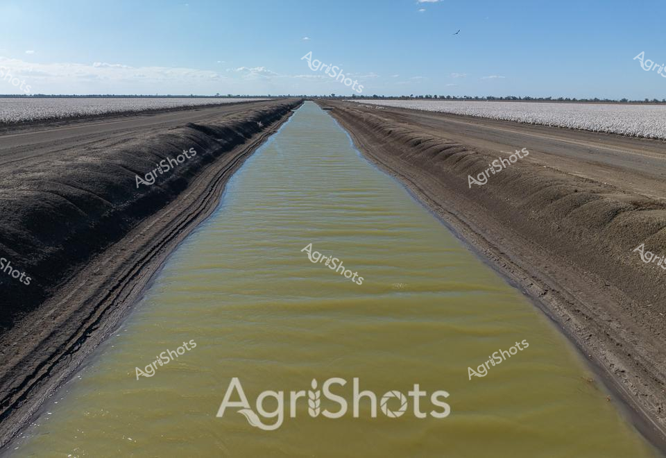
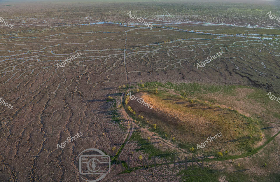
Layered earth walls rise dramatically against a brilliant blue sky scattered with billowing white clouds, revealing the geological stratification of an agricultural landscape. A golden-hued water channel runs along the bottom of the image, reflecting light and suggesting sophisticated irrigation infrastructure. The exposed soil profile demonstrates the intricate geological history of the region, with deep vertical fissures and horizontal sedimentary layers telling a complex story of environmental transformation. The rugged terrain hints at the challenging agricultural conditions in Queensland's inland regions, where precision farming techniques are critical for sustainable production. Vertical erosion patterns in the soil wall indicate the impact of water and climate on the landscape, showcasing the dynamic interaction between land and agricultural management. The expansive sky and robust earth formations communicate the scale and resilience required in Australian agricultural environments. The Al Mabin watermark suggests this is a professional agricultural documentation, likely capturing the technical and environmental nuances of crop production in a semi-arid landscape. The image encapsulates the raw beauty of agricultural terrains, where human intervention meets natural geological processes.

Rate this Image

Login to rate this image
Back to Gallery